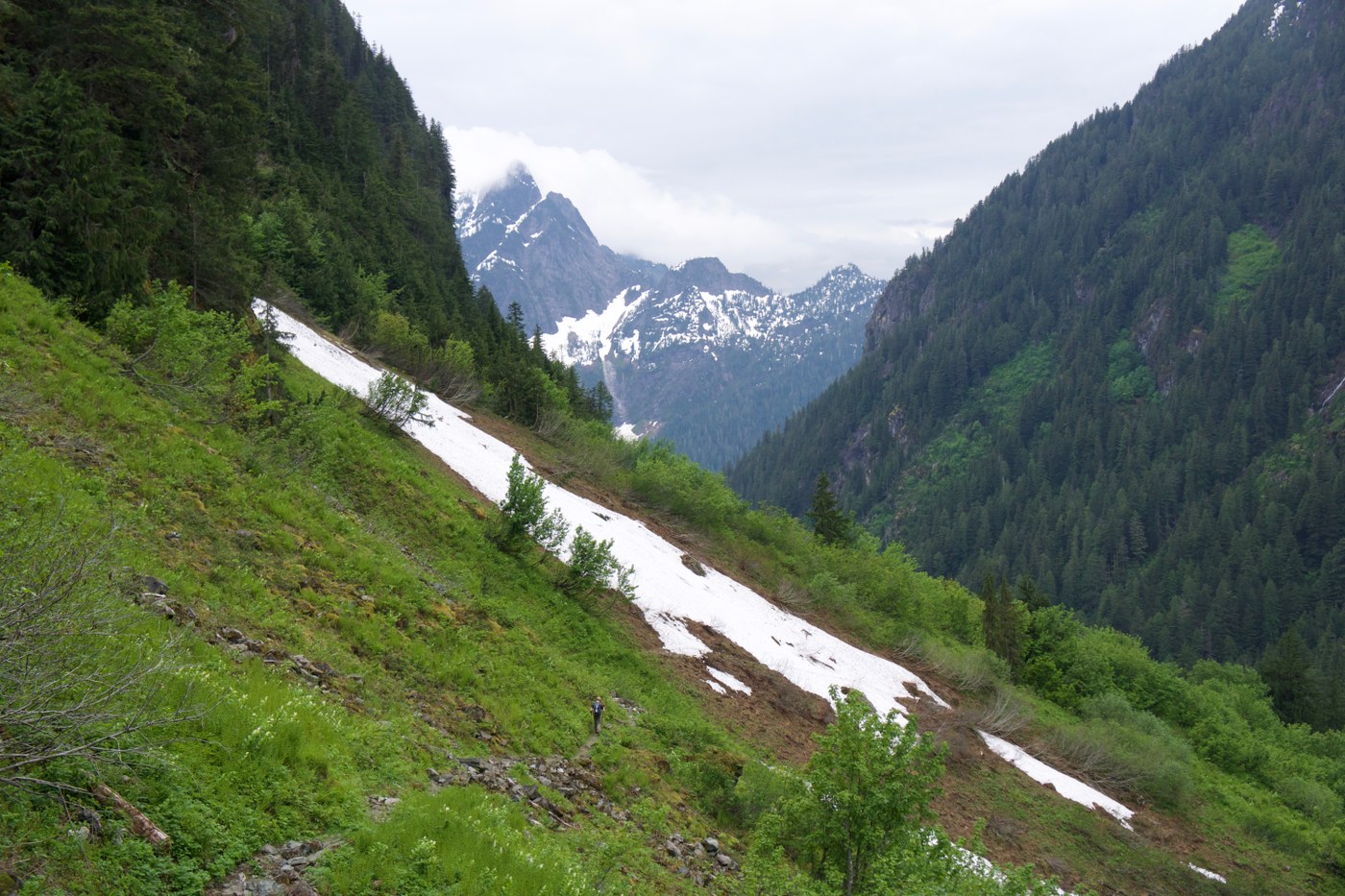
We started our hike to Mount Forgotten Meadows at 3:00pm. The trail to Perry Creek falls gradually climbs and crosses three streams. With waterproof boots and poles we easily crossed the gentle streams by walking across on rocks. There is one patch of snow to cross before the falls (see photo below).
When we arrived at the falls at 4:30pm we decided to continue up to the meadows. The stream crossing to get to the next 2 miles of trail got our feet wet and we needed poles for stability to cross the ankle deep water. From there, the trail gained elevation quickly with switchbacks up into the forest.
At 4.2 miles and 4,300', the "trail" varied between hard packed snow and patches of dirt trail. There were a couple trail markers on the trees but it was not easy route finding! We were happy to have microspikes and our ice axes as parts of the trail traversed steep snow. At 5.2 miles we broke out of the trees and arrived at the meadow with a view of Mount Forgotten. It was 6:05pm and time to turn around. Next time I'll be back to see views of Glacier Peak from the upper meadow! We arrived back at the car at 8:30pm.
This is a lovely trail to the falls! I'd recommend waiting a few more weeks to go to the meadow unless you're prepared with traction, route finding skills, and enough daylight to explore the meadow. There's still a lot of snow out there! Happy hiking!


Comments