We did a 5-day section of the PCT starting at White Pass and heading north. Some of the party came out at Chinook Pass on Day 3, and the rest carried on for two more days to exit at the Norse Peak Trailhead (near Crystal Mountain), where we stationed a car.
Overview: The trail is easy to follow (well-marked), well-graded, dusty, and had a variety of scenery to keep us feeling satiated. We shared the trail with many through-hikers, and had one character spend the night in our campsite. Berries were at a peak- ripe, delicious and plentiful. Wildflowers were past their prime, but we could see the remnants of what must have been fields popping with color. Luckily bugs were also past their peak, and we only had a random mosquito or bee try to follow us along. We passed a variety of lakes, mudholes, ponds, and streams. We thoroughly enjoyed the unfolding scenery as we approached Chinook Pass. We had the Half Mile PCT app for the first 3 days, and found it very helpful for tracking mileage and finding landmarks, lakes, spur trails and campsites. Wildfires are questionable in the Norse Peak area, so check the PCT closures site and the Incident Information System for updates.
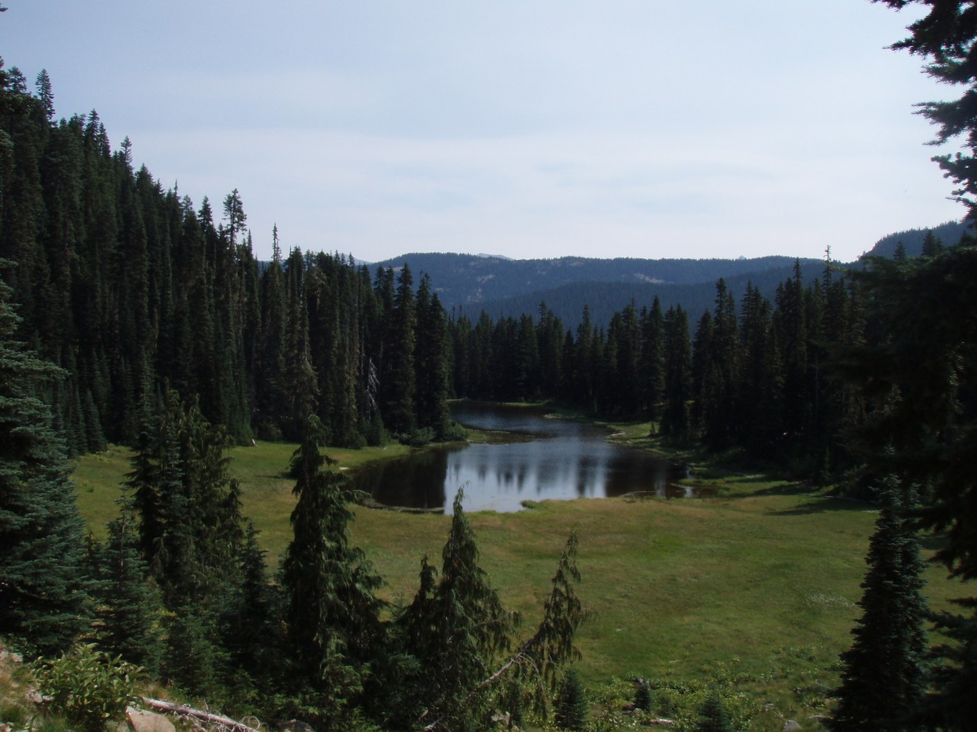
Day 1: White Pass to creek campsite (marked on the Half Mile PCT app as WACS2305 large creek, wooden bridge, several campsites) at mile 2304.8. Besides the ponds and lakes, there was no water running in the creeks up to this point (not even outflow streams from the lakes). The trail is almost completely flat for this section, going in and out of forest, passing a multitude of ponds, mudholes and lakes. The most scenic campsites were at Deer Lake, Pipe Lake and Snow Lake. Sand Lake and Buesch Lake were decent, too. Our campsite at the wooden bridge was large and flat, and the water was running brisk and cold. We stopped at Sand Lake for the eclipse! Total mileage ~12.
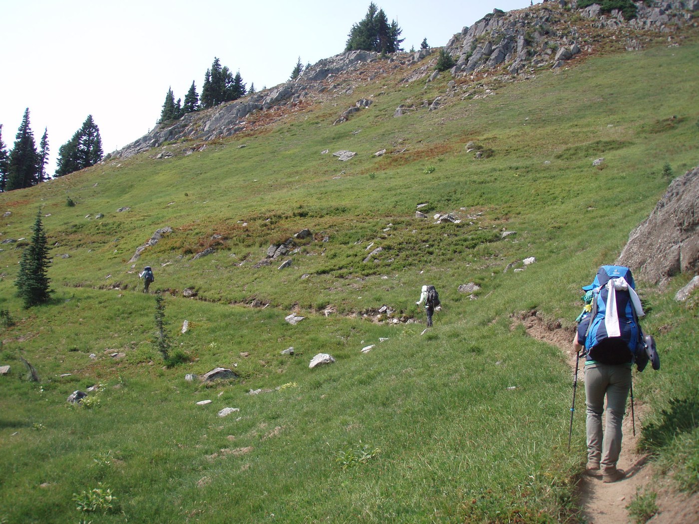
Day 2: Creek campsite to Two Lakes. This day starts with a gentle descent towards Bumping Creek. Water is flowing again, and the forest is luscious. The Bumping Creek was cold, but not too hard to cross with water shoes and poles (one of us braved the log, but the rest opted to ford). We met Dora the through-hiker on the other side and chatted briefly before starting the climb up Crag Mountain. The views get better as you rise above Fish, Buck and Crag Lake. The trail became quite exposed and hot in the early afternoon, so we rested for lunch in the shade before reaching a great view point just before entering the Rainier NP boundary. You get your first views of Rainier here, and we loved watching the white cap come in and out of view behind trees. Also the tip of St. Helens was barely viewable through the haze. We carried on, munching berries along the way, passed One Lake on the right, and found the signed trail for Two Lakes. It's a steep .3 mile down to the lake, with two nice waterfront campsites. The creek is dry, so we filtered from the lake, also enjoying a nice swim. Through-hikers had to go around to the campsite beyond the meadow, one coming down by headlamp around 9pm. Bats came out at dusk. ~8 miles
Day 3: Two Lakes to Chinook Pass. This day boasted the best overall views. We could see Mt Rainier, St Helens, and Mt Adams as we coasted around the slope toward American Lake. The trail was a little up, then mostly flat and down, passing by lovely Anderson Lake and eventually the most scenic Dewey Lake. This lake boasts the turquoise color we look for in alpine lakes, and had many swimmable beaches, lake-side trail, and nice campsites. We met our day-hiking friends there who brought us a restock and took our backpacking couple out from Chinook Pass. The Dewey Lake trail to Chinook Pass had blooming flowers, scenic valley views, and a lovely little un-named lake as you descend to the pass. Highway 410 was closed heading east just beyond the trailhead for fires. After the restock, the three of us remaining headed on to Sheep Lake (after seeing a bear down in the meadow below 410!). The last 1.5 miles seemed long after an already epic day. Sheep Lake was quaint, and had some nice flat (and dusty) campsites. Fog rolled in that night. From Two Lakes ~8 miles to Chinook, then another 1.5 miles to Sheep Lake.
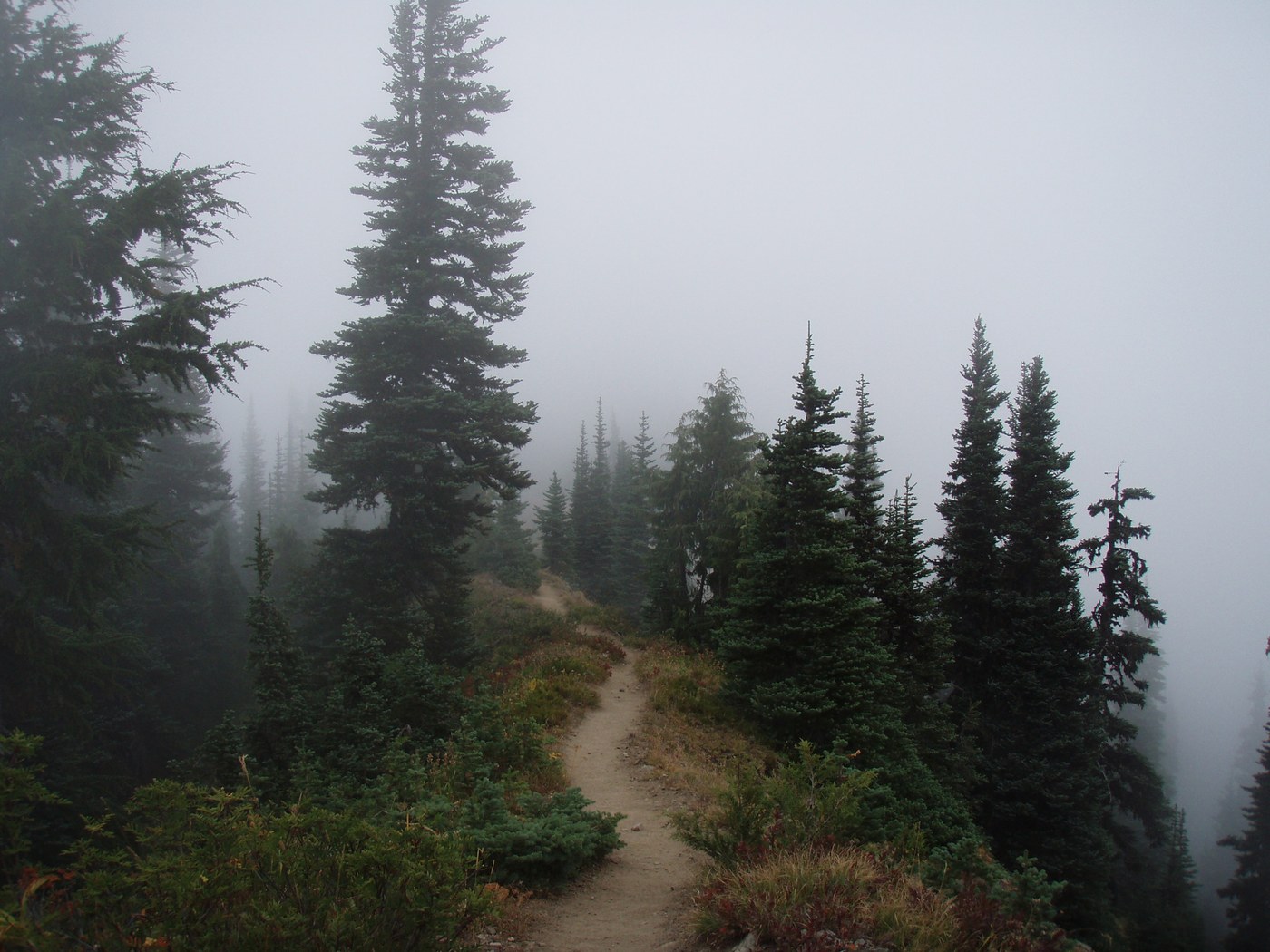
Day 4: Sheep Lake to Basin Lake. We climbed up from Sheep Lake to Sourdough Gap. We were socked in with clouds, so couldn't see any views. We did see one marmot and 3 through-hikers! After the gap, we coasted down, and then across a slope sighting Placer Lake (and another bear down in lake basin!) and on over to Bear Gap (wind whistling and cold clouds moving through). We could see nothing through the fog, so continued on ridge-top and slope-walks, over Pickhandle Ridge and Panhandle Pass, saw a few firefighters having lunch at the Union Creek junction, and carried on (up and flat) until Scout Pass. Here you cross from western slope to east-facing slope, and the views began to clear. The terrain looks more arid along this ridge overlooking the Norse Peak Wilderness. We could barely see smoke beyond the ridge behind Basin Lake. Not having seen or heard anything about trail closures, we headed on to camp at Basin Lake. The sign for Basin Lake is laying in the scree, so we missed it the first time around and had to backtrack. The trail down to Basin is steep, dusty, and not well-graded. I swear it's longer than the signed 1/4 mile (the book says 1/2)! We saw lots of goat remnants, and were surprised to not see any actual goats (except for a few up on Norse Peak). There is an epic campsite on the far end of the lake with a wooden bench and lots of flat space. The outflow stream is a great water source right beside the campsite. That evening we heard planes and helicopters beyond the ridge managing the fire, and even had a helicopter scoop water out of Basin Lake several times right in front of us! Were we supposed to evacuate?? No way to know. The wind was blowing away and the air was clear of smoke that night, so we opted to stay. Cold winds that evening. 8-9 miles
Day 5: Basin Lake to Norse Peak trailhead. That morning we had frost on our packs. We headed out early and watched smoke roll in as we left the lake basin. When we reached the PCT, heavy smoke was pouring into the area, and we were glad to be leaving! Our Green Trails map was slightly different than the printed map from Half Mile, and we were unable to find the first junction with the Norse Peak Trail that was apparently supposed to be heading west at the Crow Lake Junction. We headed on to Barnard Saddle to find unmarked trail 1161 heading off the PCT by Goat Lake. The trail looked well-used and was the only significant trail heading west/southwest from that area. We descended, noting Castle Rock above and Goat Lake below, so knew it was the right trail. There was an area of washed-out trail on the scree that had us taking off packs and scrambling to get across. Beyond the obvious switchback at about 1.8 miles, we passed a horse camp and started heading down. Soon enough we hit the junction with Norse Peak Trail (1191) and knew we were on track! Then we headed down, down, down to the trailhead by 1:30pm. All in a day's work! ~8 miles.


Comments
rupa saumil on Dewey Lake, Sheep Lake, Basin Lake, Pacific Crest Trail (PCT) Section I - White Pass to Snoqualmie Pass, Pacific Crest Trail (PCT) Section I.1 - White Pass - Chinook Pass, Norse Peak
Thank you! I wondered how the trail was after Chinook to Basin Lake, sounds like I would be good to plan it out for some day!
Posted by:
rupas on Aug 31, 2017 12:50 PM
Josh and Laura on Dewey Lake, Sheep Lake, Basin Lake, Pacific Crest Trail (PCT) Section I - White Pass to Snoqualmie Pass, Pacific Crest Trail (PCT) Section I.1 - White Pass - Chinook Pass, Norse Peak
Definitely! And we'll have to go back when there's no clouds or smoke :)
Posted by:
alpinediva on Aug 31, 2017 05:43 PM