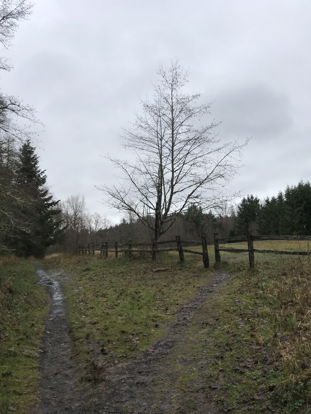
I mapped a route on my GPS app because I wanted to cover the larger area of Cougar Mountain. While the mountain is well signed, there is no official one large route to follow. So I combined several trails: Red Town, Cave Hole, Coyote Creek, Lost Beagle, Harvey Manning's, Fred's Railroad, Shy Bear, Deceiver, Far Country, Indian Trail and back to a parking lot along Red Town trail. My total mileage was 8.54 miles and time 2hrs37min. I made minimal breaks, as this trail is not difficult (elevation ascent 1,200ft). I wanted long, and I got long.
No snow, no bugs. It started to drizzle at about halfway point, then it stopped. Nothing too exciting, a few river crossings, and a Million Dollar View (plus old pergola) at Cougar Mountain Peak. Since it has been wet in past week or so, there were several creek crossings or water running down the trail, and sometimes only way through was going through the water. There were several fallen trees, some of them easy to cross, some required a little more thinking or climbing over/under.
Along the Indian trail, you will come near some small falls, and they are definitely worth the short detour. I did not, but I wish I made the detour, as there was not much other excitement along this 8.5-mile trail. But I got some solitude and a morning workout that I was after.
See my route: https://www.gaiagps.com/datasummary/route/fe31400bde5f329a3cf98e0a3e4fa960/?layer=GaiaTopoRasterFeet


Comments