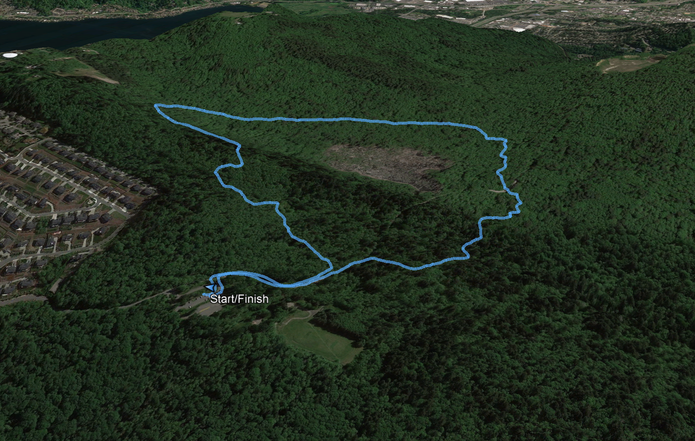
Hike GPS data for Google Earth viewing
Per Garmin: 2.42 miles/168 vertical feet.
Parking: Almost no one at the Sky Country parking lot at 5:30 PM on a rainy Thursday.
Trail: Wet but not muddy. Years ago when I would run these trails in the autumn, they were muddy, puddle-strewn obstacle courses. So much effort has gone into drainage channels and raised gravel trail beds. Thank you thank you thank you WTA!
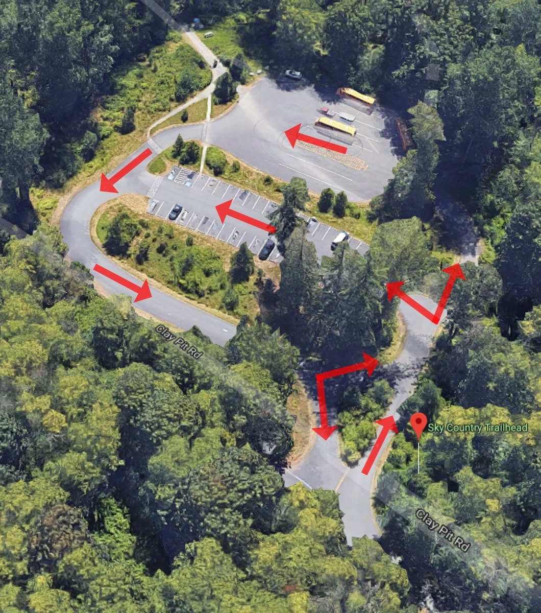
Caution: Blind corners and drivers disregarding traffic directionality create Sky Country parking lot hazards. Every stretch of the figure-8-shaped lot is a one-way (see the attached picture). Directionality is indicated with traffic signs and pavement arrows. However, people frequently drive against the one-ways. We’ve all disregarded parking lot traffic signs, but the lot has blind corners that are only safe when directionality is followed. I have seen people charging excitedly into the parking lot and around blind corners with the confidence they have the right-of-way to the whole lane. I have also seen people in a hurry to get home drive furiously around the same blind corners the wrong way. At some point, people will collide. So, do not be one of those people; recognize that, once you are in the parking lot, Mad Max rules apply and drive cautiously around every corner assuming someone could be hurtling against the one-way toward you.


Comments