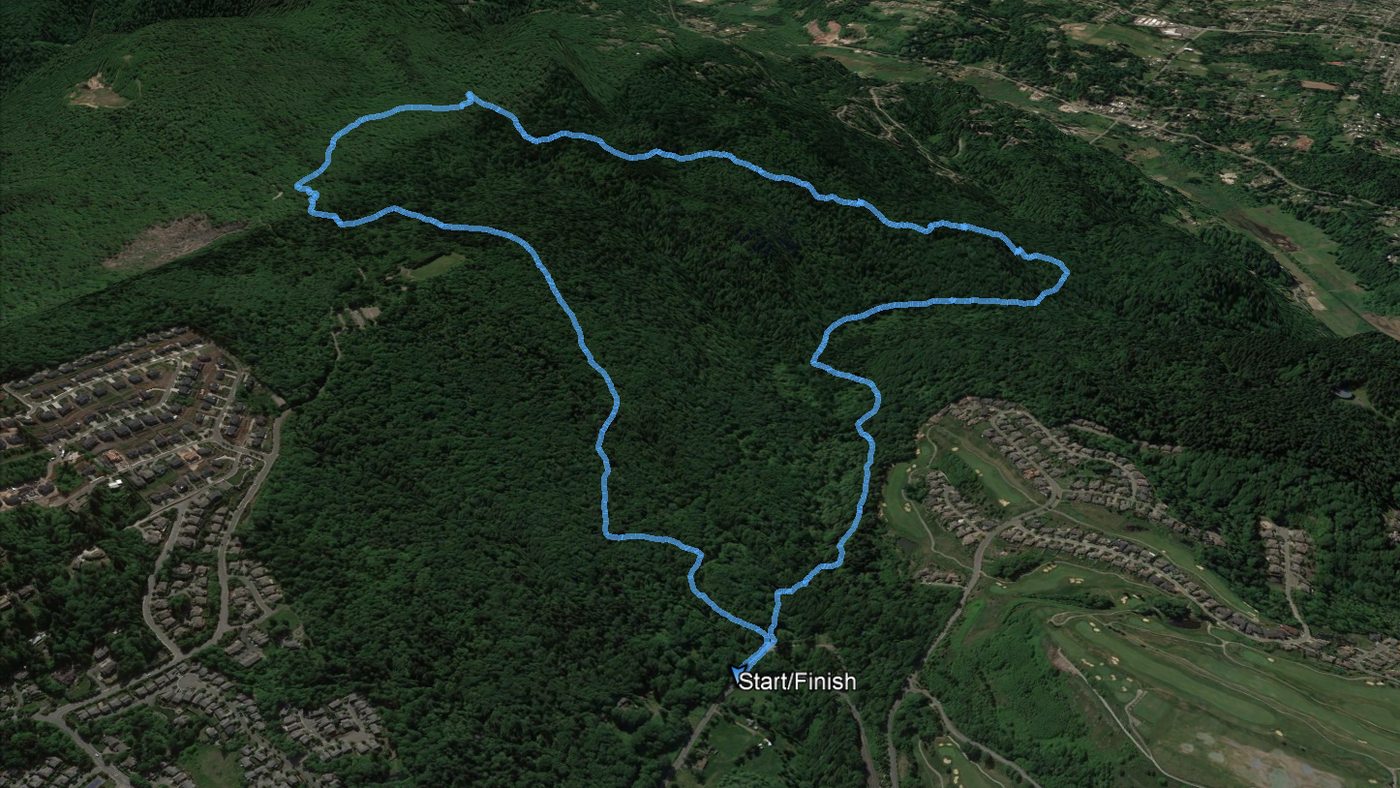
Hike GPS data for Google Earth viewing
Per Garmin, 5.14 miles/765 vertical feet.
Parking: I took the last parking spot at Red Town at about 10:30 AM on a sunny-but-cold Sunday morning. If Red Town is full, you can park at Sky Country, but there is also public street parking with access to Little Creek Trail (up SE Cougar Mountain Way a little) and the water tank road (in Newcastle).
Trail: Traction is pretty good: no standing/running water; no frost, snow, or ice yet. The one footing risk is round, loose stones under leaf litter. Be careful not to charge downhill at top speed across dense leaf litter, you might turn your ankle.
Wildlife: Woodpecker, small alarmed mammals, coyotes yipping in the distance.


Comments