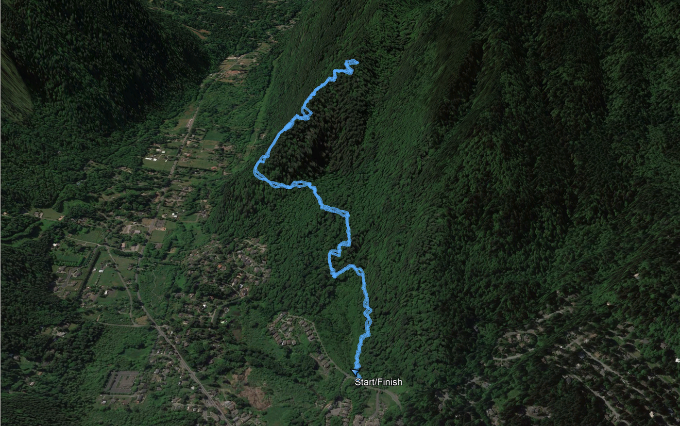
Hike GPS data for Google Earth viewing
Per Garmin, 3.81 miles/1,542 vertical feet.
Parking: Parked on Sunrise Pl SW. Was the only car there at 10 AM. No port-a-potty.
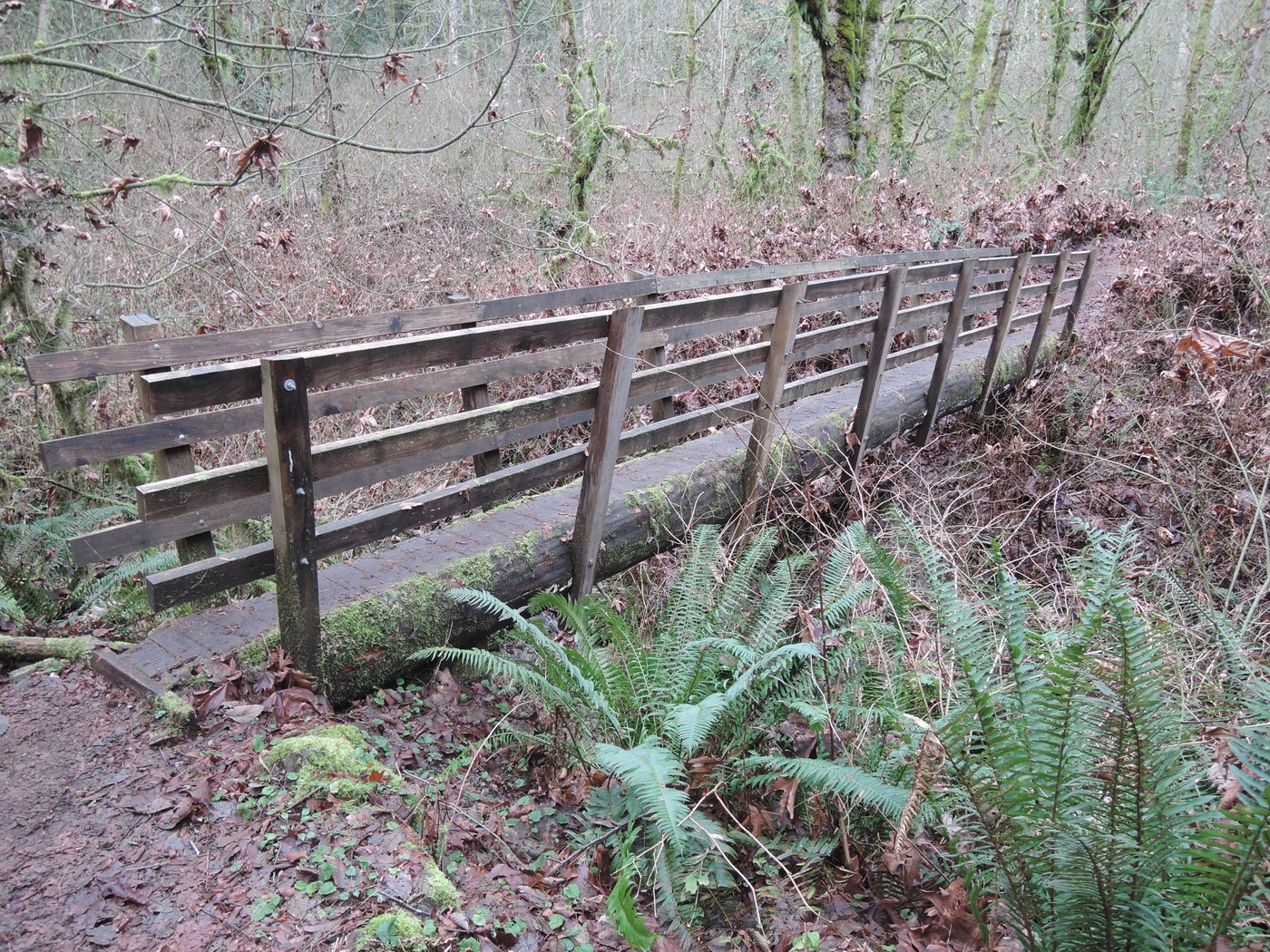
Trail: Dry and mostly clear. At lower elevations, there is a heavy layer of dried maple leaves. At higher elevations, there are small pine cones that can cause your heel to slip if you are not paying attention. Some of East Ridge is along or near head-swimmingly vertiginous drops. I didn't mind it, but it made my wife nervous. We turned around at the East Side Trail intersection.
Steep: These trails climb more than 1,500 feet in less than 2 miles. And, most of that is East Ridge. But, it's a very steady climb.
Wildlife: The trifecta: frog croaks, bird song, and small mammal peeping.


Comments