
Note: if anyone found a blue life straw bottle on the trail between Dose Forks and Diamond Meadows, I would love to get it back! Send me a comment and maybe we can rendezvous?
This was my first time backpacking across the peninsula. At roughly 36 miles (inclusive of the Moraine trail out-and-back), it was also my longest backpacking adventure to date. I'll list the narrative first and the times below that. If you have any questions, please feel free to comment!
Friday: Lake Constance Trailhead / Dosewallips River Road to Diamond Meadows
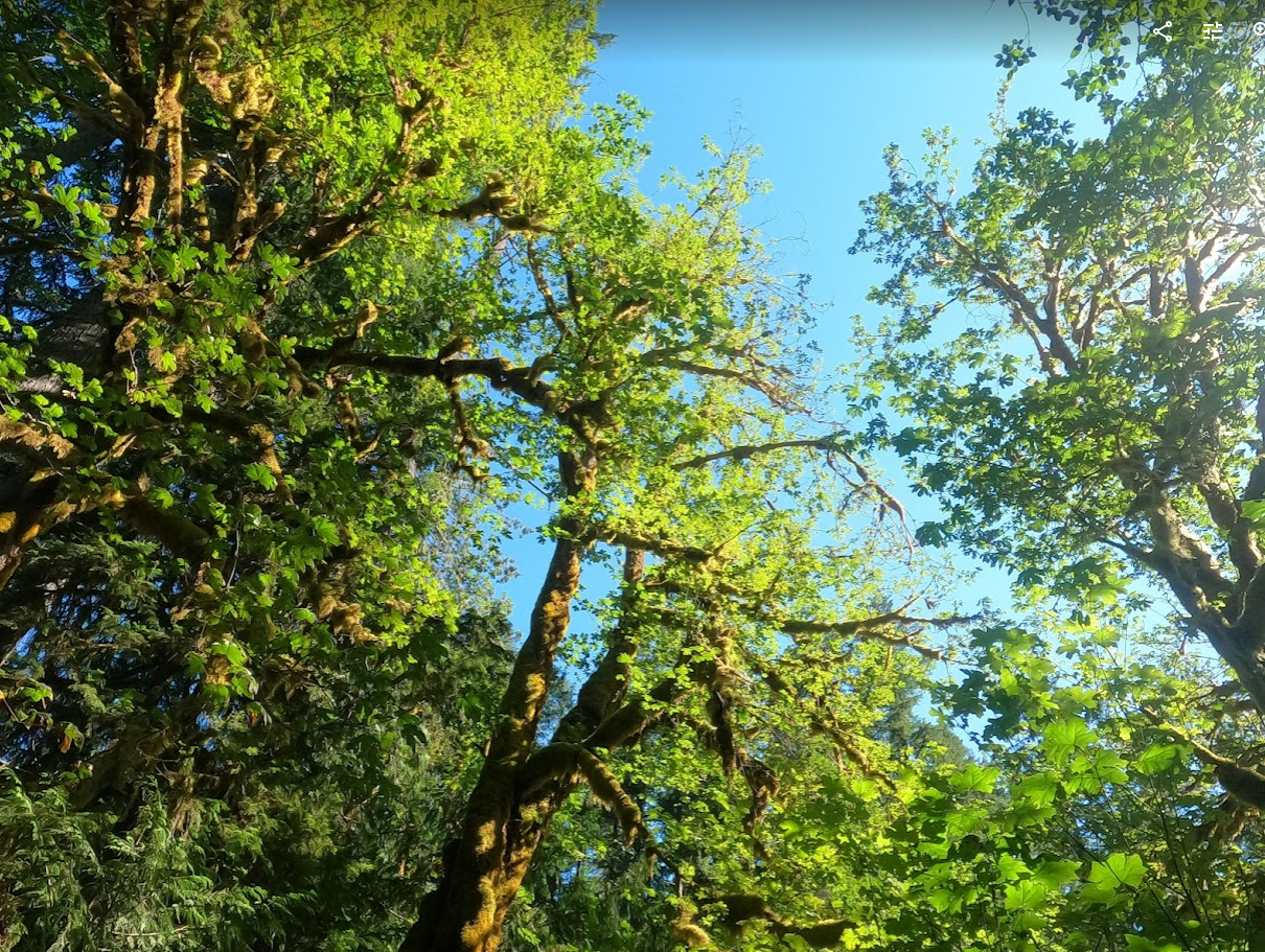
The two of us ended up leaving Seattle around 11 and got to the trailhead later than expected due to bridge delays at the Hood Canal. It was a hot day (mid-80s at the trailhead). Fortunately the washed-out road remains pretty flat through and through to the Dosewallips Ranger Station. There was some elevation but it wasn't that bad. The trail didn't have a ton of people on it, but there were a handful of families, a handful of mountain bicylists, and some backpackers. The campgrounds between the trailhead and Diamond Meadows were not full. We ended up enjoying the hike though it was a lot more elevation gain than we thought. Cairn was wrong with the elevation and threw me off: it said there was significant decline in gain from Dose Forks to Diamond Meadows, which is a lie--you keep going up and up. I am submitting a fix request right after this report. We got into Diamond Meadows just after it got too dark to see with our headlamps, where our third party member (who had started earlier in the day) had set up camp. We were the only ones there, which was fantastic. There were a bunch of moths but otherwise the spot was bug-free. It had been really enjoyable trekking in the twilight, and it was very cool. I did end up getting some of the shakes after my sweat-covered shirt got cold in the dark, but thankfully I was able to remedy that with some layers quickly. The night at Diamond Meadows was quiet and uneventful.
Saturday: Diamond Meadows to Anderson Moraine Trail to Enchanted Valley
Note that there are a couple quasi-challenging obstacles between Diamond Meadows and Anderson Pass (the exact locations are escaping me, but I think the first is between Diamond and Honeymoon, and the second is right after Honeymoon: 1) a foot log (fallen log that you can, balanced, walk across) or river ford (which is easy to get over via the rocks), and 2) a river ford that involves getting your feet submerged to the ankles.
We thought that the first day was going to be the hardest, given the distance and the gain, but it ended up being this day. We got started pretty early, waking up in the soft light around 6am, but we decided we didn't want to rush it, because overall the distance wasn't as bad. We climbed steadily past honeymoon meadows (only seeing a single group leaving that area just as we arrived) and not seeing anyone else as we passed Siberian Camp and got to the pass. The elevation to that point really isn't that bad, just slow-going. It is very beautiful, and enjoyable if done before the high heat. Once at the pass, it was getting hot. We encountered a couple young women who hiked down from the Moraine/Lake Anderson, who went into the lake even though it was difficult climbing out of the basin. We hid our packs, grabbed water, and hiked up the Moraine trail. It was actually pretty difficult given how hot it had become, and the elevation is a sucker punch--it's very steep even though the trail is less than a mile one way. Still, we got up there and hung out at the ridge overlooking the moraine, and my buddy told stories of his time summiting Anderson via flypaper pass, which didn't seem too wild though I couldn't imagine doing it in the heat. We opted out of the lake plunge given there's still ice in it and it did look like going down would add another hour onto the overall day. We turned around and enjoyed the breeze and the other views as we got back to our packs. As we were getting ready to leave, we encountered one solo backpacker who was essentially doing our route in reverse.
We started our descent in the hot, hot heat down toward Enchanted Valley. At one point we lost the trail and took a dried creek chute down about 20 feet, including one particularly sketchy slide while holding small trees rooted nearby. It was fun, though I wouldn't recommend it for anyone who wants to be completely safe. The trail is a bit overgrown in this descent area, which is why it made sense that we encountered a work crew weed whacking in the sun. Many thanks to all the people who do such exhausting labor. We passed numerous day-hikers as we headed down, down, and down some more. There were beautiful waterfalls at the different creeks along the way. Eventually we made it down to the relatively flat valley and found a semi-shady spot near the privy next to the chalet. We set up camp and had a good 6 hours of daylight to relax in. We spent the afternoon napping, soaking our feet in the river, eating, and otherwise enjoying the gentle breeze. I think we all passed out before dark. There were no signs of bears or bear activity.
Sunday: Enchanted Valley to Graves Creek
I had done this segment a few summers ago but my friends had not. I had looked at the forecast ahead of time and seen that it would get to nearly 90 by noon, so I highly recommended hitting the trail early. Our generous friend with his car (our chauffeur!) would meet us along the trail closer to the trailhead. We left in the early morning light, and it was quite cool as we made our way on week feet and legs on the westerly trail. We said goodbye to the valley and entered in those beautifully winding golden green forests that lead toward Graves Creek. It was super enjoyable, but it's long. It can't be stated enough: it's a long, long trail. There is so much old growth that there's never a dull moment, but much of the trail was spent in silence as we just put one foot in front of the other. There are numerous places to stop for water, and we rehydrated regularly, making sure we had the coolest water available. We met our friend about 3 miles from the trailhead. The third friend was taking time walking behind us, so our fourth went to find him and we continued on. We got to the car and hung out for about 20 minutes before everyone rendezvoused in full. A couple of celebratory beers later, and we were on the road.
The Drive Back
It's hard to think about it when you're planning this out, but keep in mind the drive back to the Dosewallips (Lake Constance Trailhead) is quite long. We stopped for food in Aberdeen and then continued on, and it was probably about 4 hours total from Graves Creek. The road leading to that trailhead is full of pot holes for about 10 miles, and then you have the lake road, and then the 101 looping back around. The winding road up the Hood is slow-going, and then you have the winding road of the Dosewallips, which also turns to gravel for the last couple of miles. All told, you've got a journey getting back and then a journey to wherever you call home, so keep that in mind as you plan for your next day. The good part--driving back to Seattle after dark on a Sunday yielded no traffic whatsoever.
Times
Day 1
325 Dosewallips
555 Dosewallips Campground
645 Dose Forks
805 Big Timber
905 Diamond Meadows
Day 2
840 Diamond Meadows
1005 Honeymoon Meadows
1115 Siberian Camp
1150 Anderson Pass
1230 Anderson Moraine Viewpoint
105 Anderson Pass
230 O'Neill Pass Junction
400 Enchanted Valley
Day 3
740 Enchanted Valley
915 Pyrites Creek
955 Noname Creek
1045 O'Neill Creek
1255 Pony Bridge
200 Graves Creek


Comments
Great intel on walking & driving times.
Posted by:
ecdoesit on May 18, 2024 11:32 AM