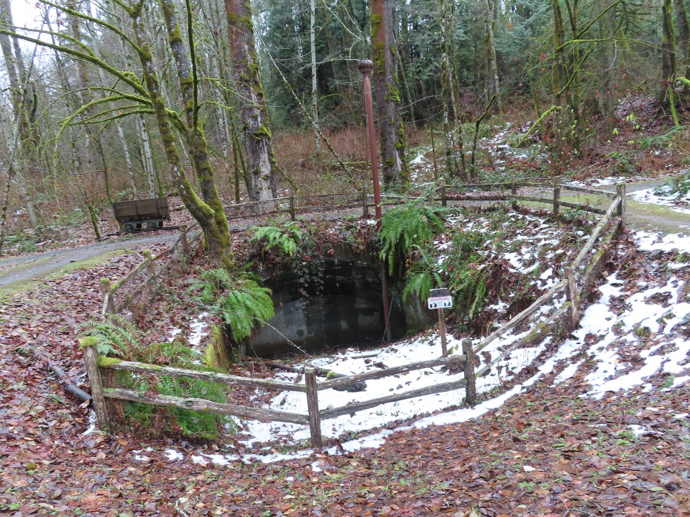
Began my loop hike on Cougar Mtn. from the Red Town trailhead. Only half full when I arrived. I headed out on the Wildside Trail and made a stop at the closed off Ford Slope Mine entrance. This shaft went down an incline of 1,740' and dropped 850' vertical. It was 310' below sea level. This coal mine was used from 1902 to 1926. In 1916, 600 tons of coal was coming out of the Ford Slope Mine per day. Coal was mined under Cougar Mtn. from 1863 to 1963.
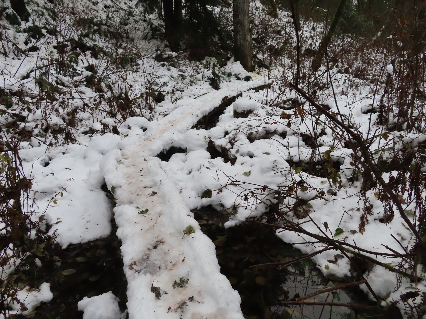
I hiked the Wild Side Trail to get out to the De Leo Wall Trail, then a short distance out to the Indian Trail. I could hear a chainsaw running from a King County parks crew cutting fallen trees off the Indian Trail. I hiked south and took the short side trail out to the top of Far Country Falls. No big roaring water yet. I then got to the junction with the Shy Bear Trail and hiked it up to the Far County Viewpoint. I stopped here for lunch since there is a wooden bench. As I was eating the sun came out while I had a nice view out to the west. After lunch I continued on the Shy Bear Trail going east. I started running into some snow on the trail and found a dead maple tree had fallen onto the trail. I then met a young hiker going the opposite way. When I got to the old logging artifact next to the trail (side frame from an old steam donkey) I saw the King County Parks history sign about it was missing. Even the wood post was gone. Further along there was more snow on the trail. After passing the junction with the Deceiver Trail I came to a large Red Cedar that is laying over the trail and blocking the way. I had to go around it and through some limbs to get back on the trail. Next was the snow-covered narrow bridges over Shy Bear Creek in a swampy area. The snow was hard packed on the bridges, so you need to watch your step, so you don't slip off into the water. As I was heading uphill to get to the junction with the Fred's Railroad Trail, I met another hiker go downhill. I had a nice chat with her about other hikes. I then had one more icing bridge to cross over Shy Bear Creek.
Once up to Fred's Railroad Trail I headed north on the snow-covered old roadbed. I then turned left and went down the By Pass Trail to meet up with the Cave Hole Trail to get back down to Red Town. The upper part of the Cave Hole Trail had snow on it but petered out as I got lower. Going down the Cave Hole Trail I could see three more old coal mine entrances. When I got to the junction with the Coal Creek Falls Trail, I met a guy who seemed to be a bit lost. He thought he was on the Clay Pit Road. I told where the Clay Pit Road was located. Then it was down to the Red Town Trail and back to the parking lot.
This made for a 6-mile loop hike with only a few trees down over the trails I hiked. Looks like King County Parks is getting out to remove them. George


Comments