Wilderness Washington: Hike 12 Wilderness Areas
There's no better way to get to know Washington's 31 wilderness areas than to hike them. Eighty percent of Washington's wilderness is within 100 miles of a major metropolitan area, making our state's wilderness some of the most accessible in the nation.
What is a wilderness area? These special areas have been granted the highest level of land protection in the United States. They can be found within national forests, national parks or BLM lands.
Tips for hiking in wilderness
- Planning. As with any hike reaching into the backcountry, plan carefully. Choose a hike that fits your ability, research conditions and check with the ranger about special regulations and trail conditions.
- People. In general, group size is limited to no more than 12 heartbeats, including people, dogs and pack animals. WTA recommends hikers always leash their dogs for everyone's safety.
- Camping permits. Be sure to check the regulations for the wilderness you plan to camp in. Wilderness areas within national parks require a permit obtained from a visitor center. Other wilderness areas may have different permitting processes, including self-issued permits. Some popular areas like the Enchantments Basin have their own permitting process, so be sure to check ahead of time.
- Pack it in, pack it out. When you are in wilderness areas, practice Leave No Trace ethics. This means packing out everything including dog poop bags, toilet paper and all trash.
Olympic Peninsula
South Fork Hoh River - Big Flat
Location: Olympic Peninsula — Pacific Coast
Wilderness: Daniel J. Evans Wilderness
Mileage: 7 miles, roundtrip
Elevation Gain: 150 feet
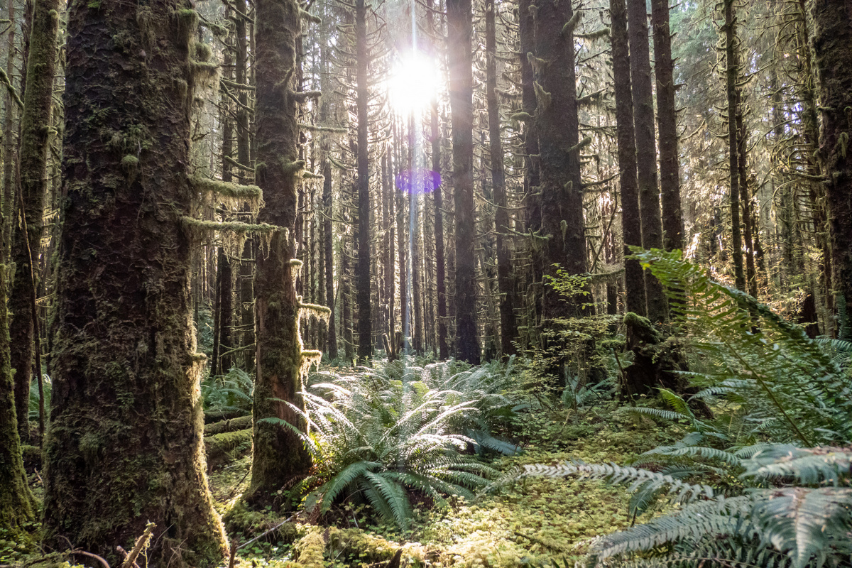
The sun peeks through the moss and trees. Photo by ejain.
Get lost in a dense forest on a hike that vaguely parallels the South Fork Hoh River. Only a short distance away from the ever-popular Hoh Rain Forest, this trail is great for hikers of all experience levels, surrounding hikers with towering trees and wildly verdant underbrush as they hike to Big Flat, a glaciated bottom between two tall ridges.
> Plan your trip to the South Fork Hoh River - Big Flat using WTA's Hiking Guide
Slab Camp Creek and Upper Gray Wolf River
Location: Olympic Peninsula — Hood Canal
Wilderness: Buckhorn Wilderness
Mileage: 5.5 miles, roundtrip
Elevation Gain: 1,100 feet

Lush forest en route to the Slab Camp Creek. Photo by Timothy Bell.
This inverted hike starts you out easy, cruising down a gentle grade through mossy woods with some peek-a-boo views of surrounding peaks. Late spring provides a stunning rhododendron show, but you’ll find flowers throughout spring and summer and gorgeous colors in fall. With established camps, this easy-going trail also makes a great early-season backpack.
> Plan your trip to Slab Camp on the Upper Gray Wolf River using WTA's Hiking Guide
Pete's Creek - Colonel Bob Peak
Location: Olympic Peninsula — Pacific Coast
Wilderness: Colonel Bob Wilderness
Mileage: 8.2 miles, roundtrip
Elevation Gain: 3,500 feet
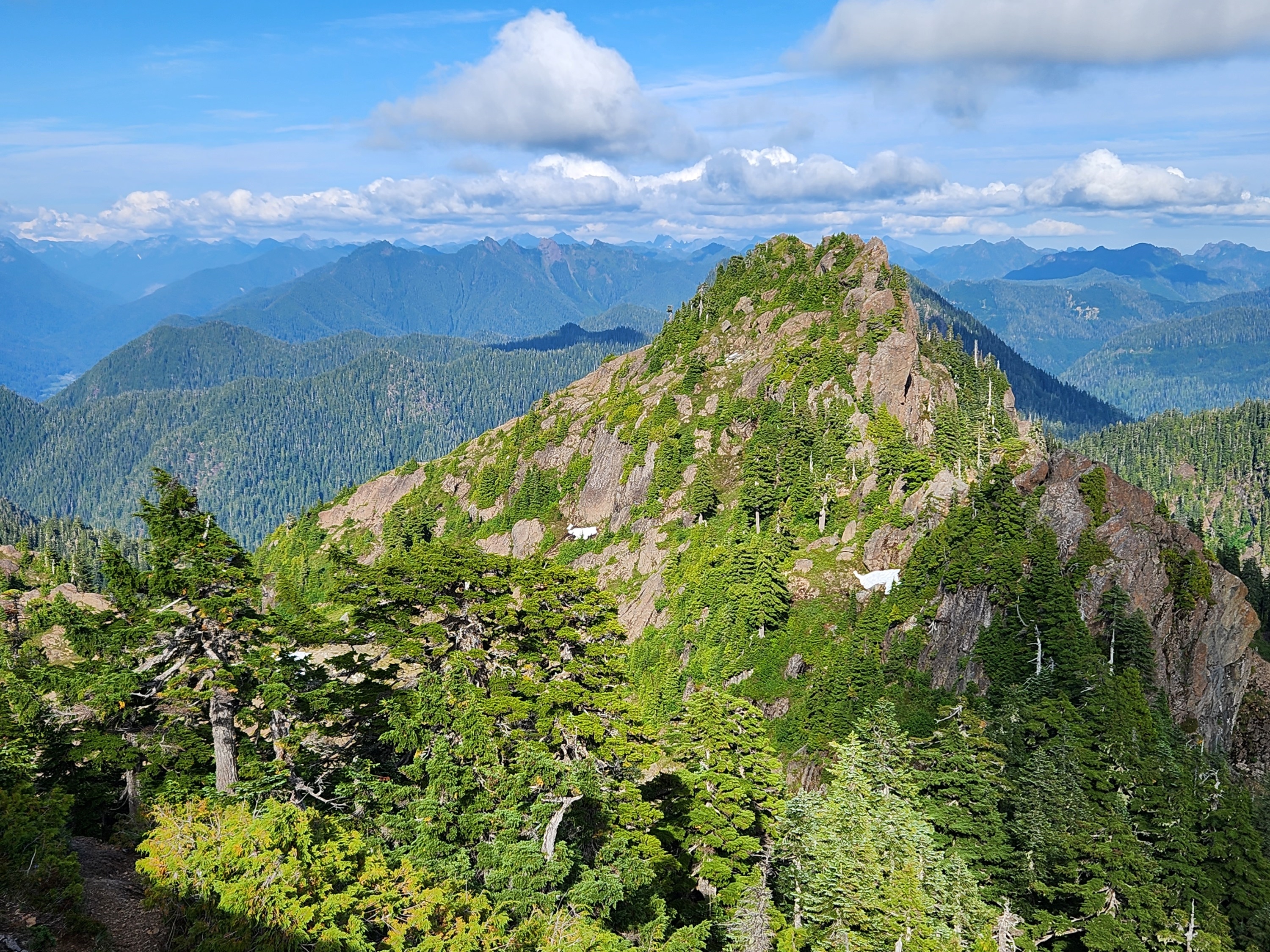
Incredible views of pointy peaks from the top of Colonel Bob Peak. Photo by hifiandrew.
You'll pay for it in elevation gain, but this hike is worth it for the views at the top of Colonel Bob Peak. From the summit, you'll get vistas of the Pacific Ocean, Grays Harbor, Lake Quinault, Mount Olympus and more. On your way there, you'll be graced with the greenery of a lush forest, propagated by the high amounts of rain this area gets every year.
> Plan your hike on Pete's Creek - Colonel Bob Peak using WTA's Hiking Guide
Central Cascades & Snoqualmie Region
Frog Mountain
Location: Central Cascades — Stevens Pass - West
Wilderness: Wild Sky Wilderness
Mileage: 8 miles, roundtrip
Elevation Gain: 2,200 feet
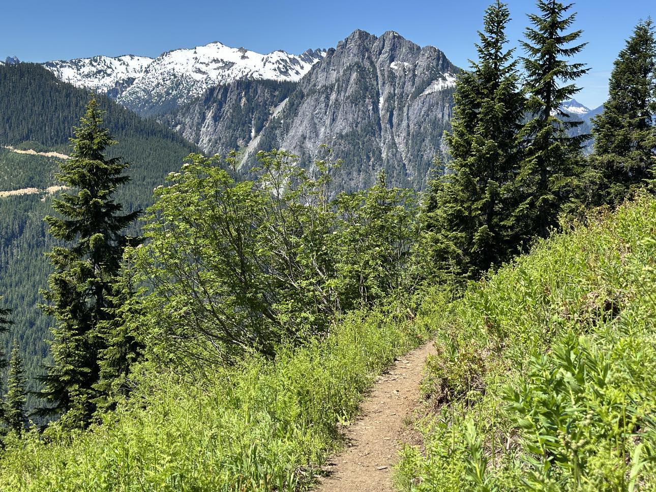
Beautiful mountain views from the trail on Frog Mountain. Photo by B Sun.
One of WTA's recurring work locations over the last few years, this trail offers hikers more than just tall vantage points of surrounding peaks (including the prominent Glacier Peak) — you'll also get colorful wildflowers and berries in the middle of the year and warm-toned fall foliage in autumn. The trail is quite exposed — hello, views! — so don't forget to pack some sun protection.
> Plan your hike on Frog Mountain using WTA's Hiking Guide
Fortune Ponds
Location: Central Cascades — Stevens Pass - West
Wilderness: Wild Sky Wilderness to Henry M. Jackson Wilderness
Mileage: 13.0 miles, roundtrip
Elevation Gain: 2,700 feet
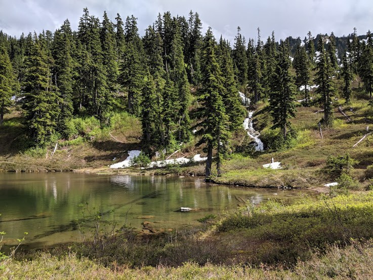
The calm waters of the Fortune Ponds. Photo by ballardgray.
Cross from one wilderness (Wild Sky) into another (Henry M. Jackson) on this trail that sees few hikers. The Meadow Creek trail provides plenty of solitude as you gently climb through old burn and old growth to heather slopes, blueberry patches, and snow-fed lakes near the Cascade Crest. Make a full weekend of visiting the Wild Sky Wilderness by camping at the Beckler River Campground.
> Plan your visit to Fortune Ponds using WTA's Hiking Guide
Nosh Nosh Wahtum
Location: Snoqualmie region > Salmon La Sac/Teanaway
Wilderness: Alpine Lakes Wilderness
Mileage: 5 miles, roundtrip
Elevation Gain: 1,500 feet
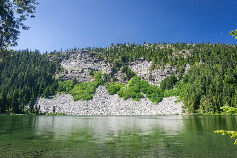
Nosh Nosh Wahtum on a clear, sunny day. Photo by Rayan.
Hike in the forest, pass through Tucquala Meadow, cross the Cle Elum River and enter the Alpine Lakes Wilderness to find yourself at this glistening lake, a serene spot for lunch or an overnight. The lake is a great destination in and of itself, but this hike has the added bonus of being easily extendable, giving you the option to continue further up to Cathedral Pass and connecting to the PCT.
> Plan your visit to Nosh Nosh Wahtum using WTA's Hiking Guide
South Cascades & Southwest Washington
Deep Lake
Location: South Cascades — Mount Adams area
Wilderness: Indian Heaven Wilderness
Mileage: 5 miles, roundtrip
Elevation Gain: 900 feet
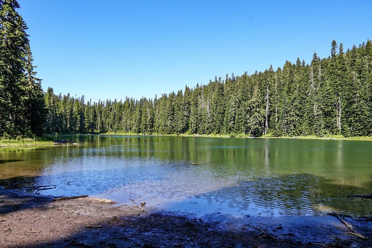
The shimmery waters of Deep Lake. Photo by MafHoney.
This moderate in-and-out trail makes a lovely picnic destination, or an ideal short backpack to a brilliant blue lake with peeks of Mount Adams. From the trailhead at the Cultus Lake Campground, fill out your self-issue wilderness permit and start climbing, immediately entering the Indian Heaven Wilderness.
> Plan your visit to Deep Lake using WTA's Hiking Guide
Shellrock Lake
Location: South Cascades — White Pass/Cowlitz River Valley
Wilderness: William O. Douglas
Mileage: 10 miles, roundtrip
Elevation Gain: 1,900 feet
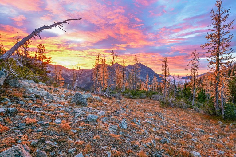
A fiery sunset on the Shellrock Lake Trail. Photo by KRad.
Like so many lakes in the William O. Douglas Wilderness, Shellrock Lake has peaceful solitude and plentiful wildlife including resident elk who graze in the meadows nearby.
> Plan your visit to Shellrock Lake using WTA's Hiking Guide
Bear Creek Mountain
Location: South Cascades — Goat Rocks
Wilderness: Goat Rocks Wilderness
Mileage: 7 miles, roundtrip
Elevation Gain: 1,237 feet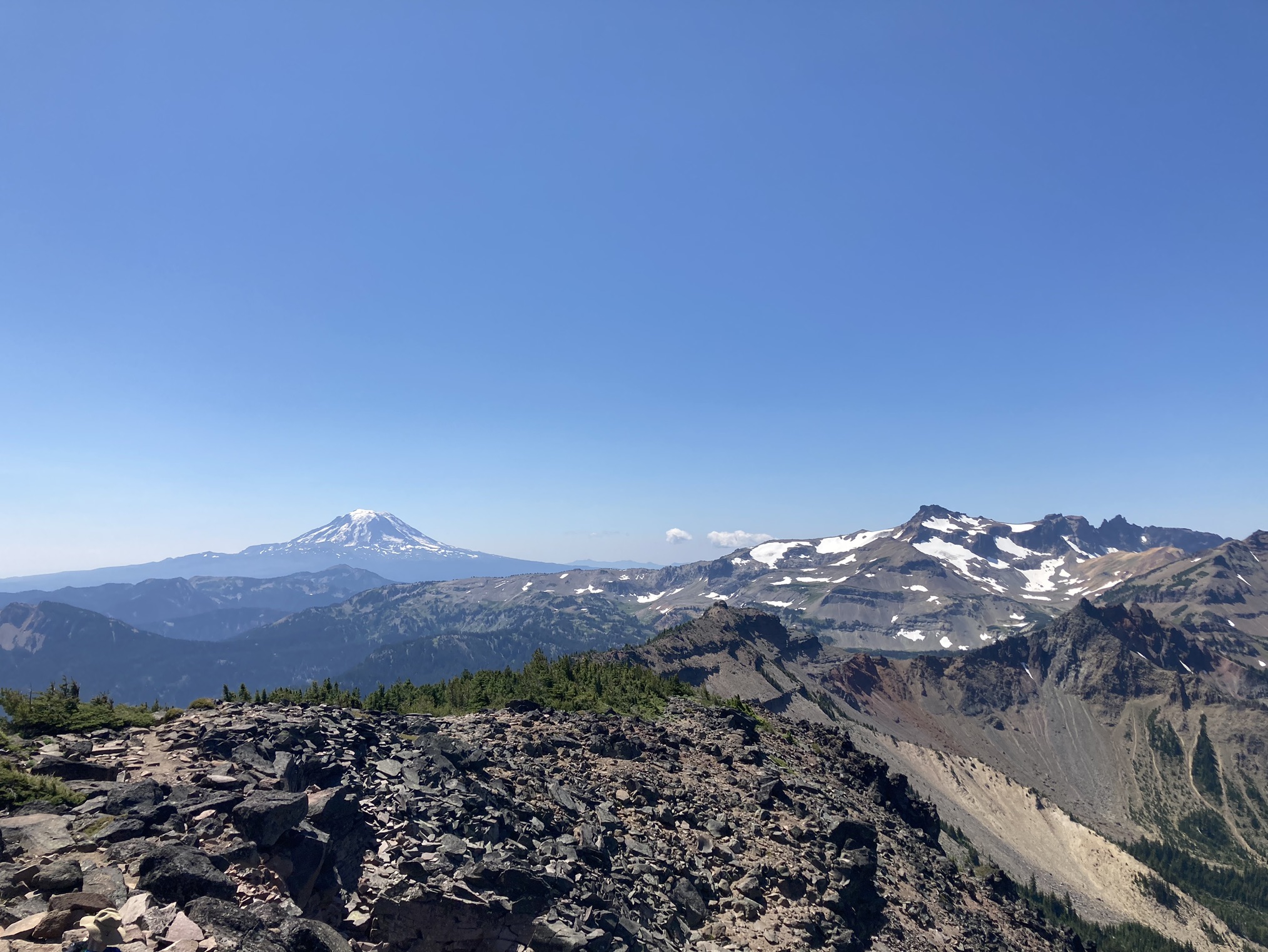
Epic views of Mount Rainier from Bear Creek Mountain. Photo by crescentmt.
Another trail that's gotten some WTA trail work love in the last few years, this hike is a great representation of what the Goat Rocks Wilderness has to offer. From alpine meadows of wildflowers to steep rocky talus drop-offs, there's plenty to see on this hike that eventually brings you to the summit of Bear Creek Mountain, where you'll be able to enjoy some truly magnificent 360-degree views.
> Plan your visit to Bear Creek Mountain using WTA's Hiking Guide
Trapper Creek
Location: Southwest Washington — Lewis River region
Wilderness: Trapper Creek Wilderness
Mileage: 9 miles, roundtrip
Elevation Gain: 3,000 feet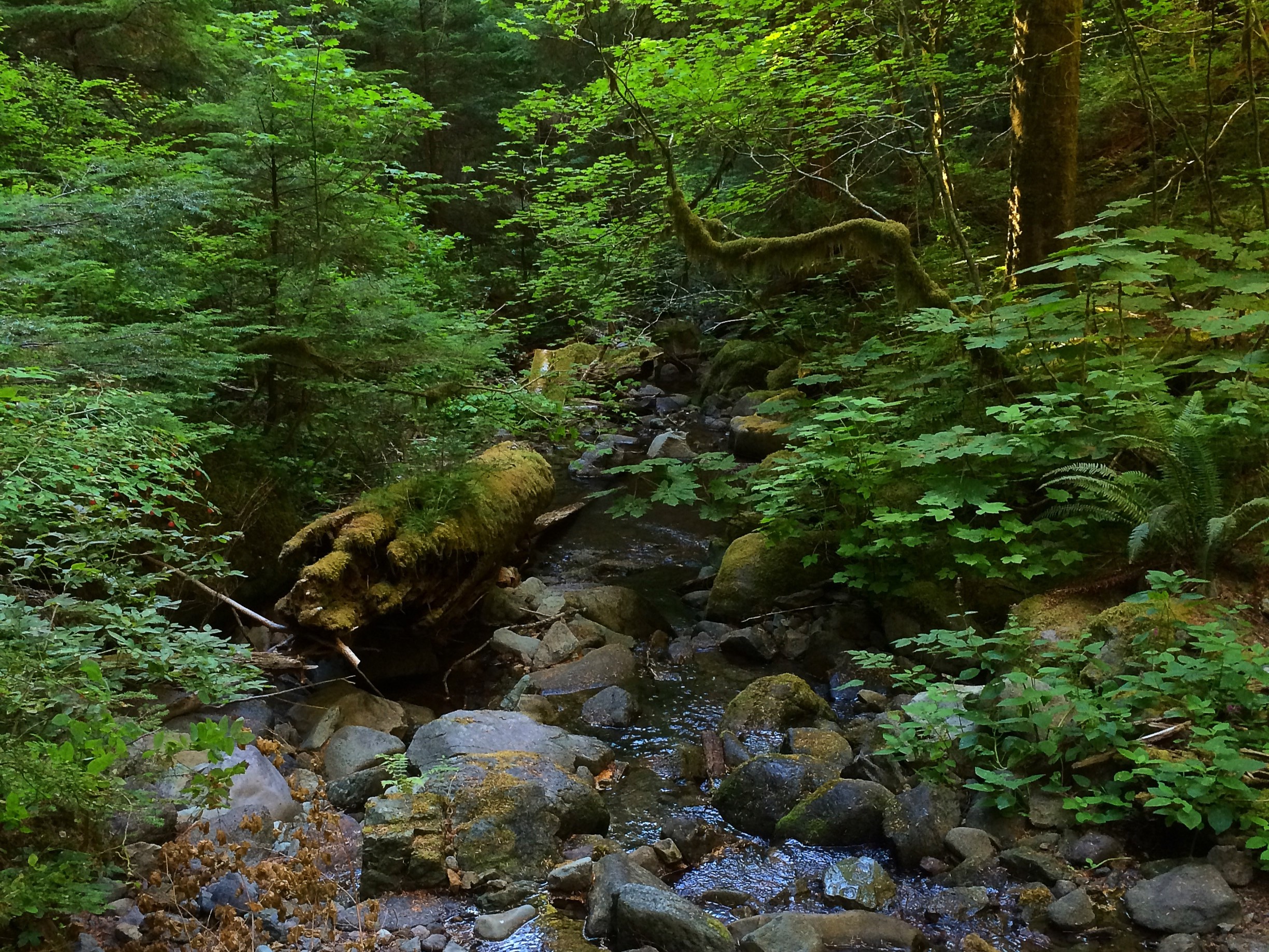
Creeks abound in the Trapper Creek Wilderness. Photo by LynnMcD.
Weave through old-growth forest on this hike, which also offers hikers the opportunity to link up with the Dry Creek trail, or continue on to climb Observation Peak, an old fire lookout spot with wide views of the Trapper Creek Wilderness.
> Plan your visit to Trapper Creek using WTA's Hiking Guide
Eastern & Central Washington
Oregon Butte
Location: Eastern Washington — Palouse and Blue Mountains
Wilderness: Wenaha-Tucannon Wilderness
Mileage: 6 miles, roundtrip
Elevation Gain: 987 feet
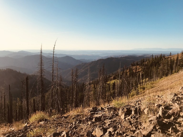
Tall views from Oregon Butte. Photo by Alex Mesick.
Just because they're tucked into the southeast corner of the state, don't overlook Washington's Blue Mountains, which you can find on this ridgeline trail in the Wenaha-Tucannon Wilderness. Dayhike it, turn it into a lazy overnight (several good camps sites along the ridge) or connect it to a network of nearby trails for a longer loop.
> Plan your visit to Oregon Butte using WTA's Hiking Guide
Crowell Ridge
Location: Eastern Washington — Selkirk Range
Wilderness: Salmo-Priest Wilderness
Mileage: 8.4 miles, roundtrip
Elevation Gain: 2,700 feet
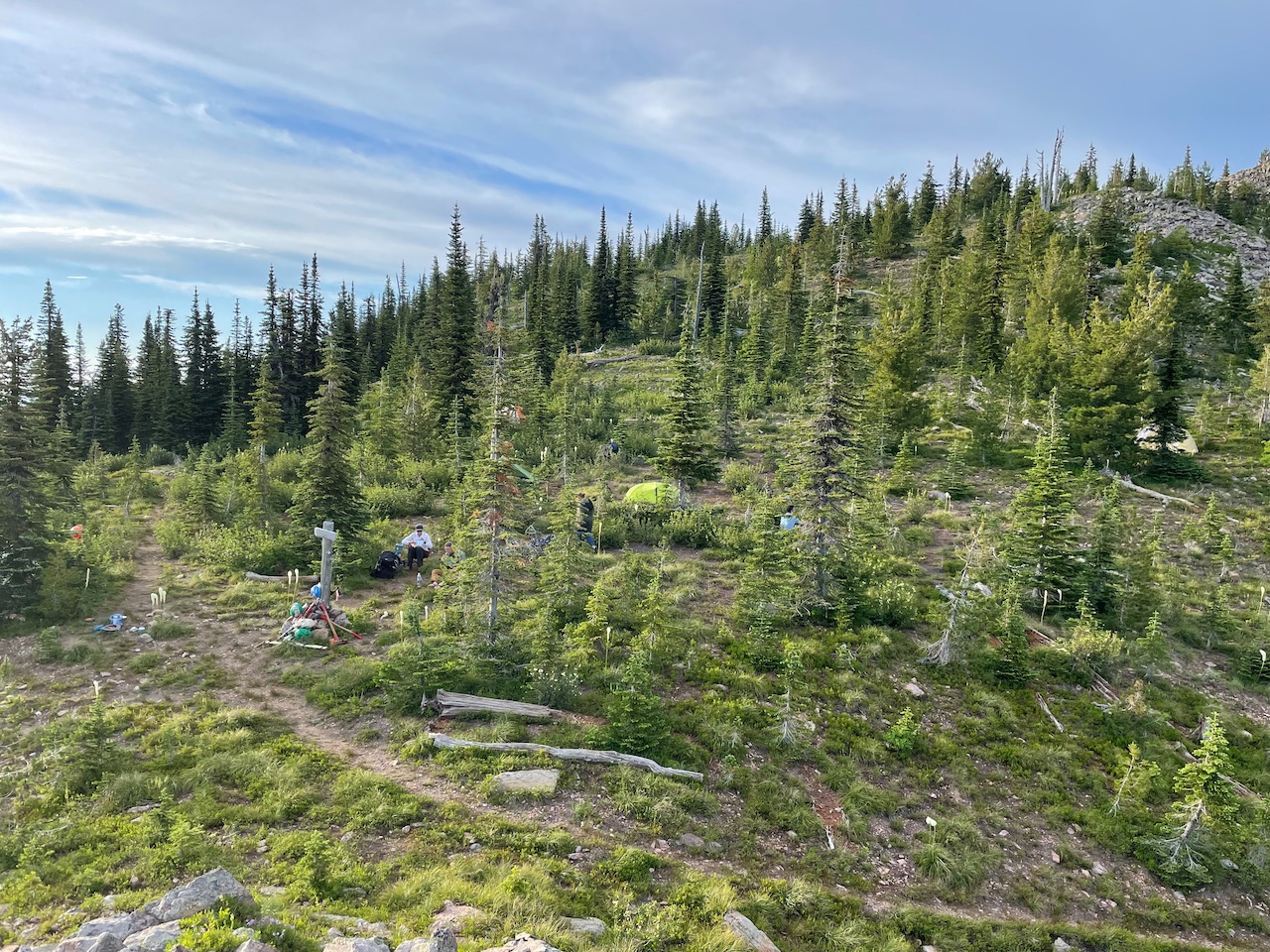
A WTA backcountry response team at work (well, camp)! Photo by RichP.
For hikers willing to travel far to reach its trailhead and push through the calf pain on its climb, this trail will give beautiful ridge hiking and expansive summit views in return. This is yet another hike that WTA has sent crews to work on in the past, primarily to clear the trail in preparation for the peak hiking season.
> Plan your visit to Crowell Ridge using WTA's Hiking Guide
Juniper Dunes Wilderness
Location: Central Washington — Tri-Cities
Wilderness: Juniper Dunes Wilderness
Mileage: 15 miles, roundtrip
Elevation Gain: 300 feet
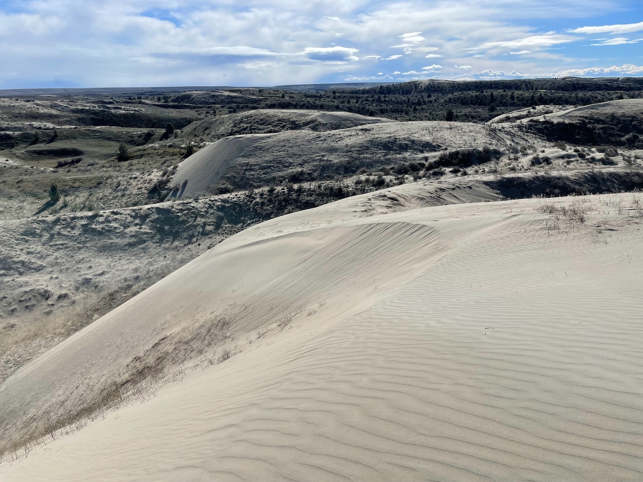
The sandy dunes and juniper groves of the Juniper Dunes Wilderness. Photo by RichP.
The unique landscape of the over-7,000-acre Juniper Dunes Wilderness — which includes the largest remaining juniper groves in Washington — is fenced in to protect its delicate ecosystem. Make sure to do your research and pack navigation tools (map and compass) as there's plenty to explore but no maintained hiking trails.
> Plan your visit to Juniper Dunes Wilderness using WTA's Hiking Guide
North Cascades
Andrews Creek
Location: North Cascades — Pasayten
Wilderness: Pasayten Wilderness
Mileage: 31 miles, roundtrip
Elevation Gain: 4,000 feet

The beautiful Pasayten Wilderness has a lot to offer hikers and backpackers. Photo by KellBell.
Pack your sunscreen and hat, as this hike takes you through a large burn area — you'll get great views but a lot of sun exposure on a clear summer's day. That said, you'll be following the creek so you'll have access to water throughout your hike as you crest Andrew Pass, passing Remmel Mountain, Andrew Peak and other tall summits nearby.
> Plan your visit to Andrews Creek using WTA's Hiking Guide
North Fork Sauk River
Location: North Cascades — Mountain Loop Hwy
Wilderness: Glacier Peak Wilderness
Mileage: 11 miles, roundtrip
Elevation Gain: 1,000 feet
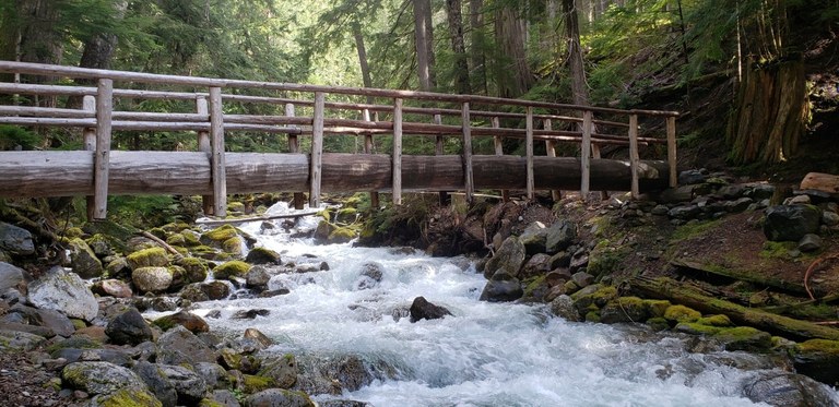
The roaring rapids of the North Fork Sauk River. Photo by Merritt.
Some trails go to lakes, some to high viewpoints. This trail is all about the forest. Old-growth trees reach for the sky on either side of a brush-free trail. Find forest wildflowers here in the spring and early summer. When the Whitechuck Trail washed out, this became the main route to climb Glacier Peak. Climbers mix with backpackers and day hikers on the way to various destinations.
> Plan your visit to the North Fork Sauk River using WTA's Hiking Guide
Anderson and Watson Lakes
Location: North Cascades — Mount Baker area
Wilderness: Noisy-Diobsud Wilderness
Mileage: 6 miles, roundtrip
Elevation Gain: 1,100 ft

Anderson and Watson Lakes from high above. Photo by callmesaraj.
A series of lovely backcountry lakes surrounded by stunning North Cascade peaks in the the Noisy-Diobsud Wilderness make for a great day hike or an easy overnight.
> Plan your visit to Anderson and Watson Lakes using WTA's Hiking Guide

