Shape the next 10 years for Oyster Dome, Mount Si, Gothic Basin, Yacolt Burn and more
Washington Department of Natural Resources recently released its first-ever statewide plan to guide recreation and public access, including hiking, over the next 10 years and across 5.6 million acres. Give your feedback before November 21.
 Your favorite hike might be on DNR lands, like Mount Si (pictured). Photo by trip reporter leaf246.
A 10-year vision for balancing land use
Recreation is only one goal for how DNR manages its lands. Other priorities include habitat conservation, timber and forestry and creation of state income to support schools and other essential services. With these complex goals, a new comprehensive strategy for recreation will better equip the state agency to put limited resources where they are needed.
Overall, WTA is pleased that recreational use of DNR lands is receiving the attention of the agency and its leaders. There are 1,300 miles of trail on DNR lands spread across the state.
“While recreation provides significant economic benefit to Washington, it also enhances quality of life, allowing recreationalists to escape their everyday stress and connect with nature,” says DNR in the plan. We couldn’t agree more. Access to these trails and lands is vital.
With this plan, the Washington Department of Natural Resources joins Washington State Parks and Washington Department of Fish and Wildlife, our state’s other major land managers in making statewide, long-term plans for recreation.
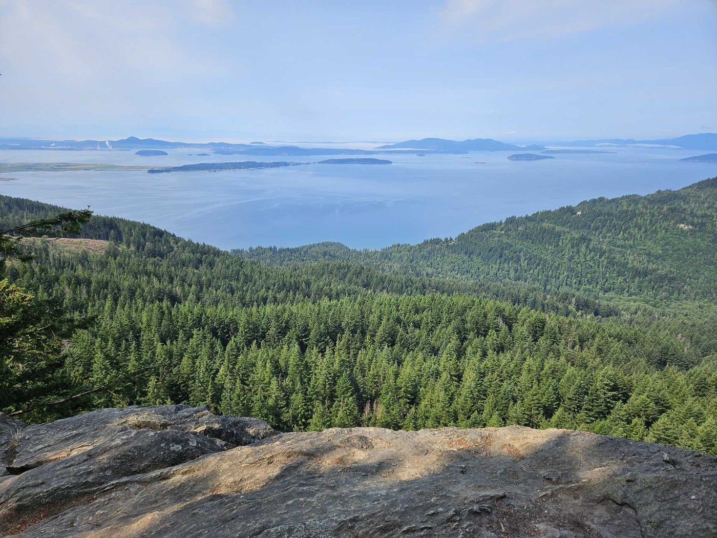
 The 2.5 miles of trail to Oyster Dome are part of 1,300 miles of trail across our state managed by Washington Department of Natural Resources. Photo by trip reporter MamaAwal.
Plan co-developed with Washington’s Tribal nations
One notable aspect of the process that led to this plan: DNR co-developed it along with 31 Tribal nations. WTA is very pleased to see the ways that the agency is working with Tribal nations to protect natural and cultural resources and to uphold Tribal rights. WTA advocates for funding from the state legislature to support DNR managing its lands collaboratively with Tribes.
“We must commit to building a just and inclusive future honoring the land and the Indigenous people who have stewarded it since time immemorial,” the plan clearly states.
Washington Department of Natural Resources also held public meetings and connected with partners, including WTA, to help inform the now-released plan and strategies to put it into action. We offered our thoughts throughout the planning process in the hopes of strengthening the future of DNR lands to provide a variety of hiking opportunities.
The plan prioritizes equity, considers transit and funding needs
- The plan includes a focus on increasing outdoor opportunities for communities that have inequitable access, specifically Black, Hispanic and Asian American residents.
- The agency plans to work with transit operators, for example King County Metro or Whatcom Transportation Authority, so that public transportation can better connect people with DNR lands.
- The plan identifies an estimated $9 million gap between the funding that DNR gets from the state legislature and the resources it needs to develop and maintain infrastructure for hiking and other outdoor activities. WTA looks forward to supporting DNR’s future requests for funding to help spread the economic, social and health benefits of outdoor recreation to more communities in Washington.


Comments
R. Pool on Shape the next 10 years for Oyster Dome, Mount Si, Gothic Basin, Yacolt Burn and more
As of Nov 13, the plan was not available on line.
Posted by:
R. Pool on Nov 13, 2024 02:18 PM
melanib on Shape the next 10 years for Oyster Dome, Mount Si, Gothic Basin, Yacolt Burn and more
@R. Pool, thanks for letting us know about this broken link. Here's the correct link to view the plan (I'll change it in the body of the blog): https://www.dnr.wa.gov/publications/amp_rec_oarr_draftplan.pdf
Posted by:
melanib on Nov 13, 2024 02:47 PM