Hiking Natural Resource Conservation Areas
If you have ever hiked Tiger Mountain, Mount Si or Gothic Basin, then you’ve visited a Natural Resource Conservation Area (NRCA). NRCAs are lands that Washington State’s Department of Natural Resources (DNR) manages to protect scenic landscapes, native ecosystems and habitat for at-risk species.
Not all NRCAs are set up for recreation, but those that are offer opportunities for connection with plants, animals and vistas that make Washington unique.
Though they can have breathtaking views and lovely trails, NRCA’s are not national parks. Because they’re managed by Washington State, you need a Discover Pass to hike here. They work at more than just NCRA’s - with a Discover Pass you can visit state parks and Fish and Wildlife land, too.
North Cascades
Cutthroat Lakes via Walt Bailey Trail
Location: Morning Star Natural Resource Conservation Area
Length: 6.8 miles, roundtrip
Elevation Gain: 2,300 feet
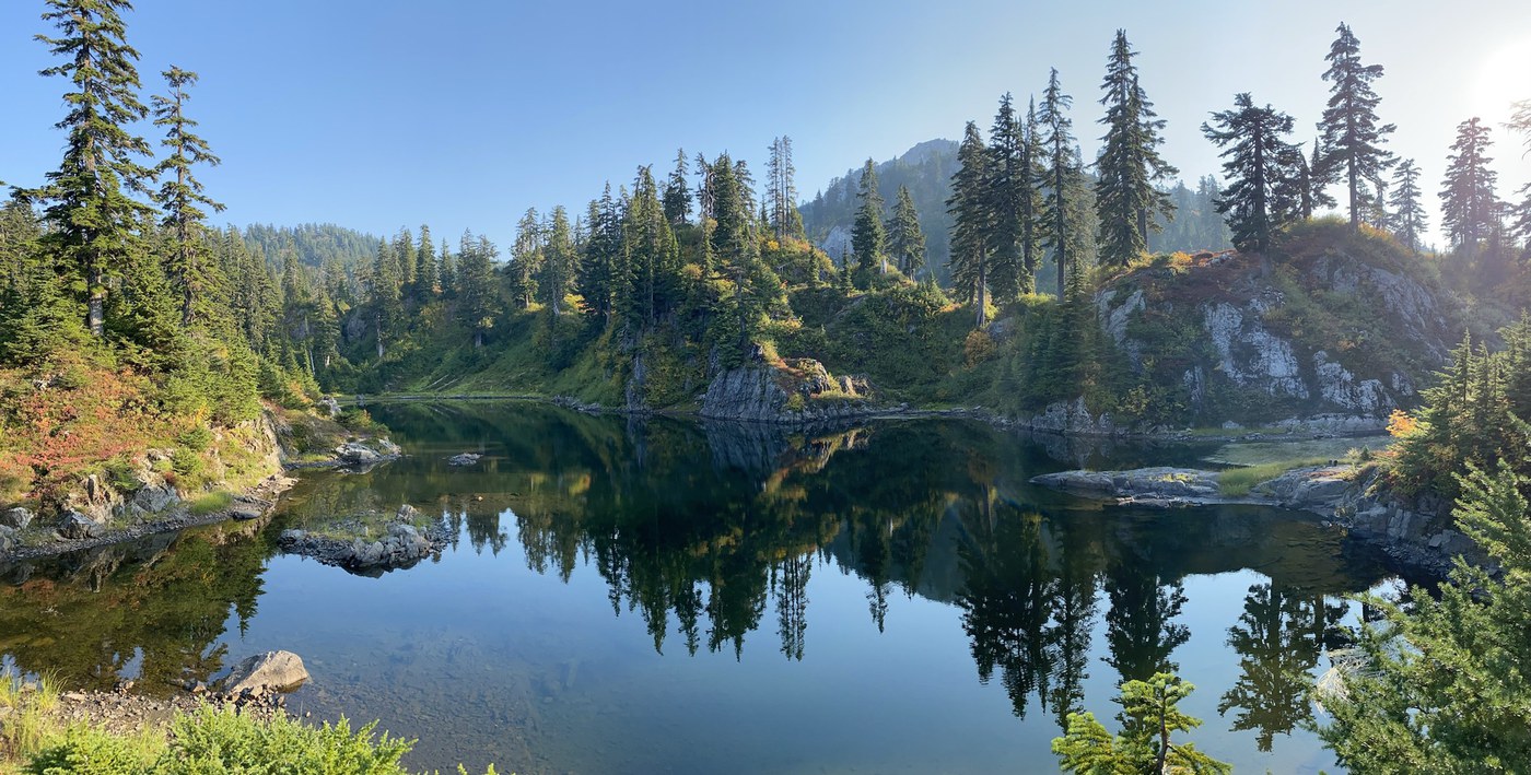 Lower Cutthroat lake by Arkitekt
Ever-changing surroundings beckon you up this rugged trail to a series of lovely lakes. You can spot subalpine plants at unusually low elevations thanks to the Morning Star NRCA’s notable levels of precipitation for the North Cascades. Note: The majority of this trail and the lakes themselves sit within Morning Star Natural Resource Conservation Area, but the trailhead is on United States Forest Service land, so you’ll need a Northwest Forest Pass to park for this hike.
> Plan your visit to Cutthroat Lakes via Walt Bailey Trail with WTA's Hiking Guide
Puget Sound and Islands
Stimpson Nature Reserve
Location: Lake Louise Natural Resource Conservation Area
Length: 4.9 miles, roundtrip
Elevation Gain: 300 feet
 Trillum blooms at Stimpson Nature Preserve by trip reporter Derek Posey.
Trip reporters on WTA’s hiking guide tout these reasons to visit: lush ferns, huge Douglas Fir trees, a shady walk and a chance to spot beavers, owls, woodpeckers and other wildlife. If you are looking for a trail where you are unlikely to run into many other hikers, this is a place for you!
> Plan your visit to Stimpson Nature Reserve with WTA's Hiking Guide
Eagle Cliff (Cypress Island)
Location: Cypress Island Natural Resources Conservation Area
Length: 2.4 miles, roundtrip
Elevation Gain: 730 feet 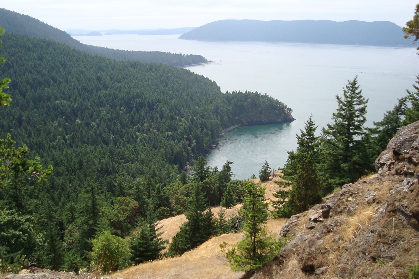 Eagle Cliff views are stunning. Photo by trip reporter KnuteB
Visitors with access to a private boat, kayak or canoe – or fare for a water taxi – can explore the largest relatively undeveloped island in the San Juan Islands. A short hike leads to a nearly 360 degree view of the San Juan Islands and Olympic and Cascade mountain ranges.
> Plan your visit to Eagle Cliff with WTA's Hiking Guide
Snoqualmie Region
Rattlesnake Mountain
Location: Rattlesnake Mountain Scenic Area
Length: 10.5 miles, one-way
Elevation Gain: 2,520 feet
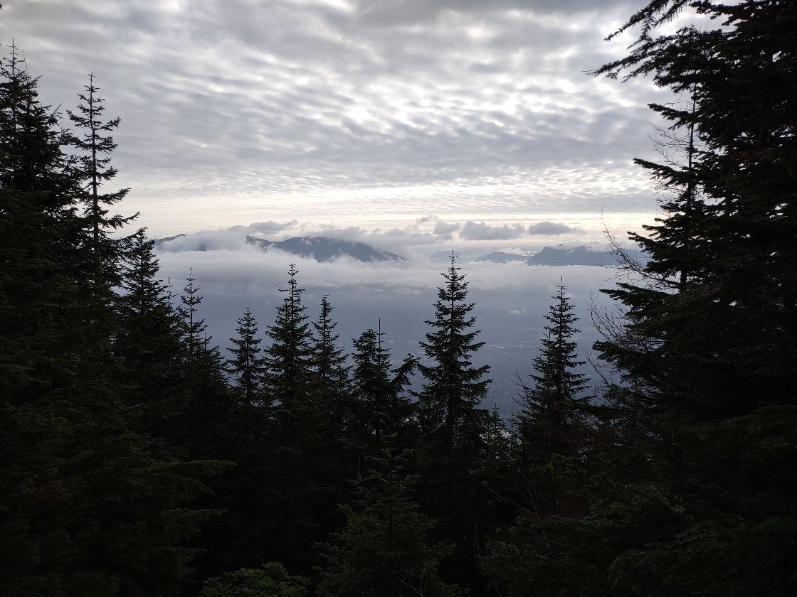 East Peak of Rattlesnake Mountain by trip reporter stever.
If you've hiked to Rattlesnake Ledge, expect fewer hikers on this approach that starts at a trailhead near Snoqualmie Point Park and climbs up to Rattlesnake Mountain, 2 miles above the Ledges. Enjoy fantastic views out over the Snoqualmie Valley, Mount Si, Mount Teneriffe, North Bend and more on this trail that is cooperatively maintained by Seattle Public Utilities, King County and Washington Department of Natural Resources.
> Plan your visit to Rattlesnake Mountain with WTA's Hiking Guide
Granite Trail to Granite Lakes
Location: Middle Fork Snoqualmie Natural Resource Conservation Area
Length: 8.8 miles, roundtrip
Elevation Gain: 2,270 feet
 Granite Lake by trip reporter canuckinwa
Travel up the creek’s ravine while enjoying majestic views of the mountains of the Middle Fork valley. The Middle Fork NRCA protects old growth Douglas-fir forest, subalpine lands and mid-elevation lakes and provides habitat for marbled murrelet, northern spotted owl and native mountain goat.
> Plan your visit to Granite Creek Trail to Granite Lakes with WTA's Hiking Guide
Oxbow Loop Trail
Location: Mount Si Natural Resource Conservation Area
Length: 1.8 miles, roundtrip
Elevation Gain: 56 feet
 River view to the north from spur trail from main parking area by trip reporter Jasper & the Girl Scouts.
Follow a loop trail around Oxbow Lake in the Middle Fork Snoqualmie River valley with views of surrounding mountain tops. Depending on the season, fall colors, wildflowers, or fresh berries may be present for your enjoyment.
> Plan your visit to Oxbow Loop Trail with WTA's Hiking Guide
Olympic Peninsula
Woodard Bay Natural Resource Conservation Area
Length: 3.5 miles of trails
 Heron at Weyer Point by trip reporter Bob and Barb
Minutes from downtown Olympia, Woodard Bay is home to habitat for shorebirds, harbor seals, river otters, bald eagles, a large colony of bats and one of our state’s largest heron rookeries.
> Plan your visit to Woodard Bay Natural Resource Conservation Area with WTA's Hiking Guide
Southwest Washington
Weldon Wagon Road
Location: White Salmon Oak Natural Resources Conservation Area
Length: 5.4 miles, roundtrip
Elevation Gain: 1,290 feet
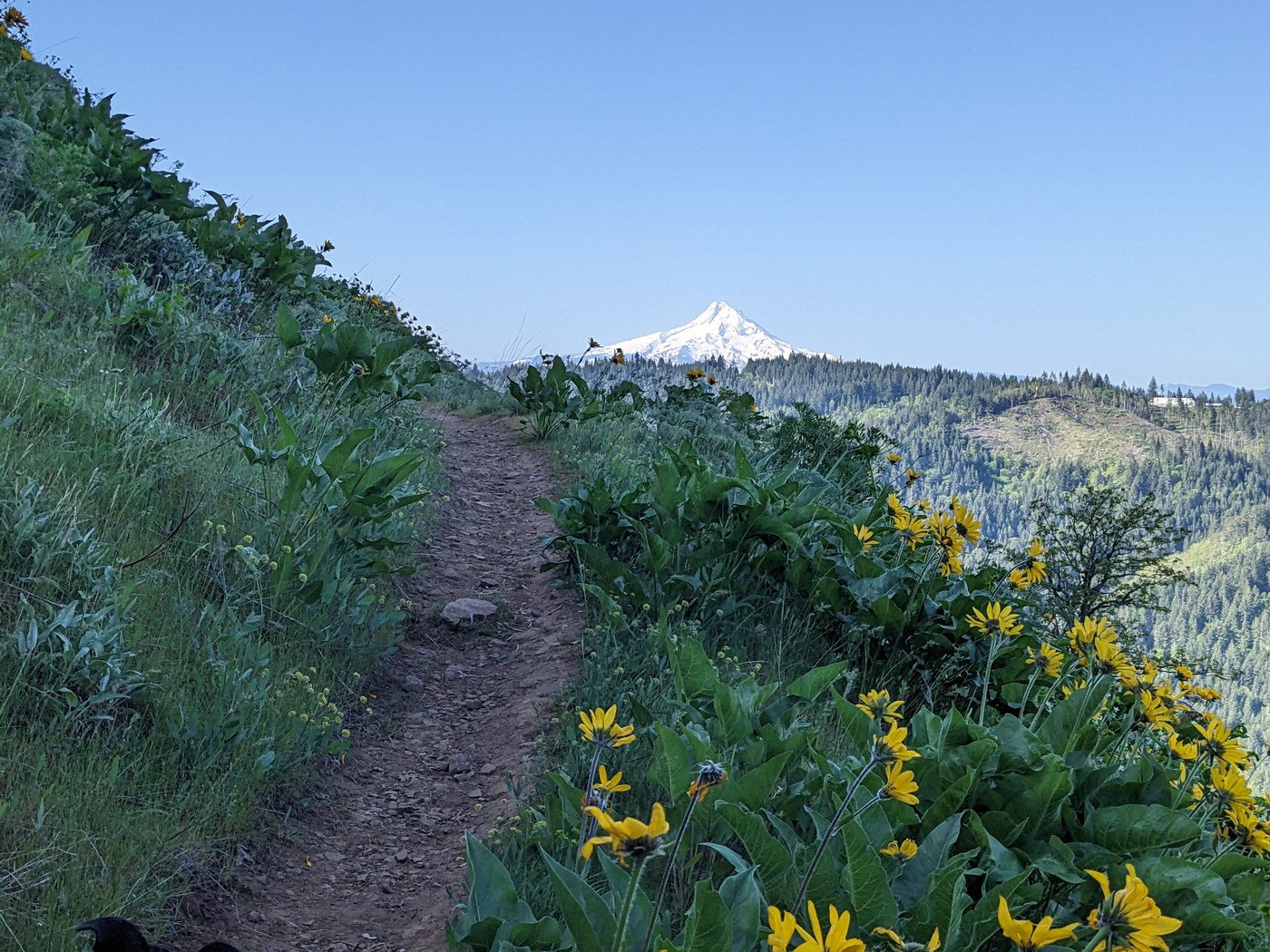 View of Mount Hood from Weldon Wagon trail by trip reporter gumbypuppy
The curving trees in this Oregon white oak forest are like a natural sculpture garden – in addition to being a rare type of environment in Washington. Open ridgetop meadows and wildflowers make spring a great time to visit.
> Plan your trip to Weldon Wagon Road using WTA's Hiking Guide
Table Mountain
Location: Columbia River Gorge Scenic Area
Length: 16.0 miles, roundtrip
Elevation Gain: 3,350 feet
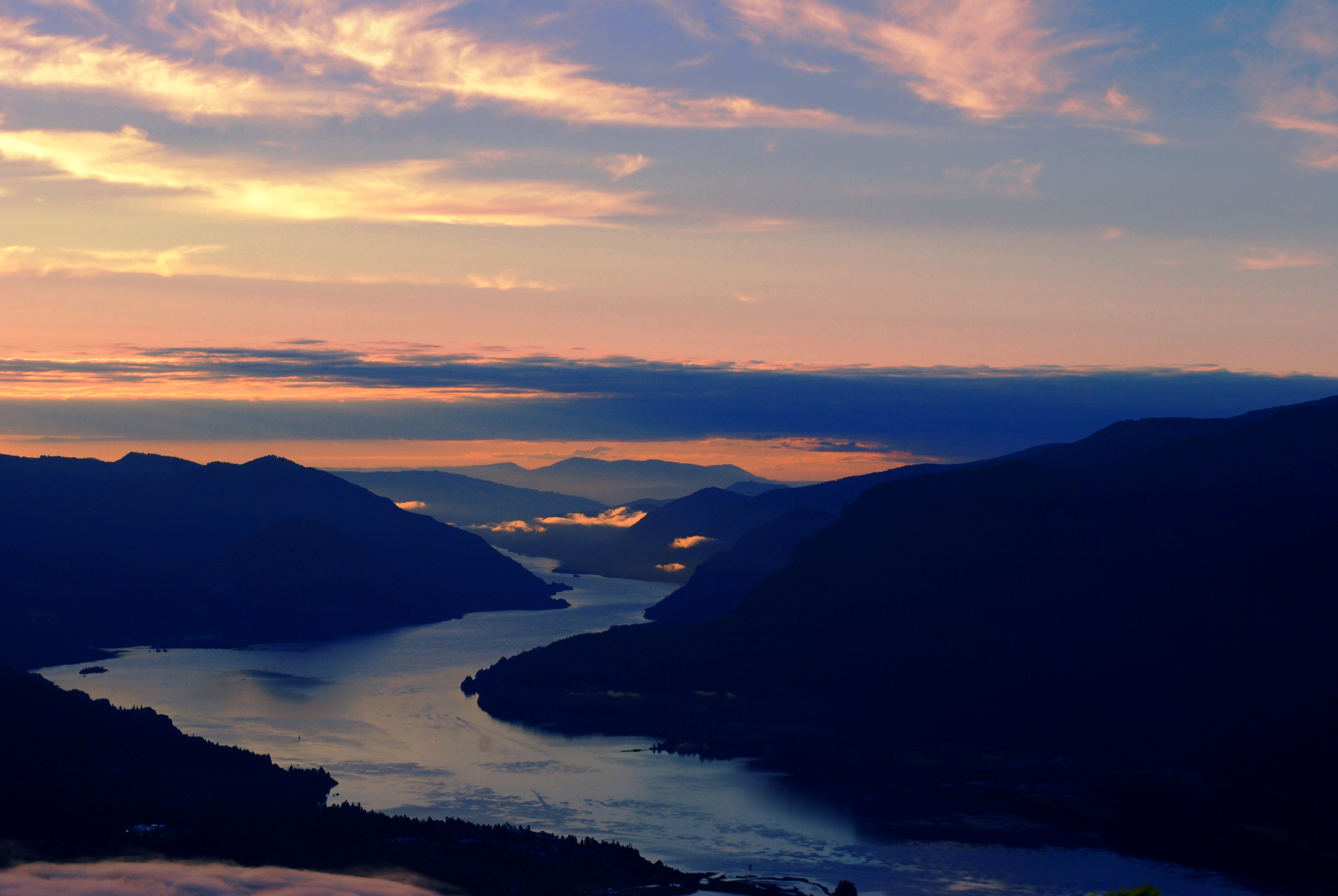 Sunrise from Table Mountain by Lauren Dawkins
This strenuous climb rewards adventurous hikers with one of the best panoramas of the Columbia River Gorge, as well as views of Mount St. Helens, Rainier, Hood and Adams. Note: the trailhead requires a Northwest Forest Pass.
Eastern Washington
East/West Pond Loop
Location: Dishman Hills Natural Resource Conservation AreaLength: 1.8 miles, one-way
Elevation Gain: 500 feet
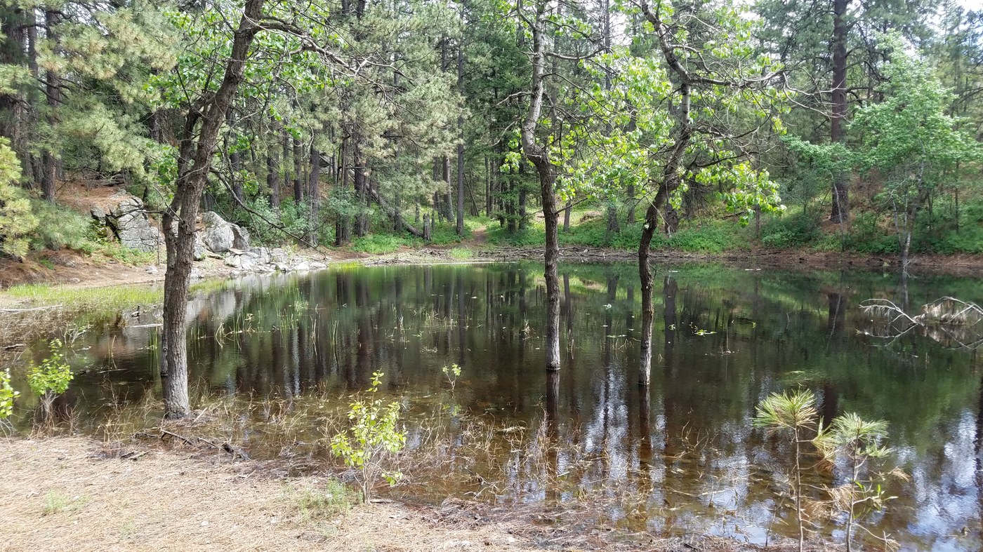 Pond view by trip reporter Wild Side
“Just a few minutes from central Spokane, a diverse network of forested trails that affords many options of many inter-connecting loop trails,” describes trip reporter Wild Side.
> Plan your trip to East/West Pond Loop using WTA's Hiking Guide
Eagle Peak Loop
Location: Dishman Hills Natural Resource Conservation Area
Length: 4.5 miles, roundtrip
Elevation Gain: 800 feet
 View from Eagle Peak Loop by trip reporter TrailKat
The Dishman Hills Natural Area is co-managed by the Department of Natural Resources, Spokane County and Dishman Hills Conservancy. Eagle Peak Loop takes hikers to the highest point in the Natural Area for outstanding views of the surrounding area.
> Plan your trip to Eagle Peak Loop using WTA's Hiking Guide

