Cloudy Pass to Holden
8.29.25: The trail east of the junction with the Summer Blossom trail is closed until further notice due to the Martin Fire.
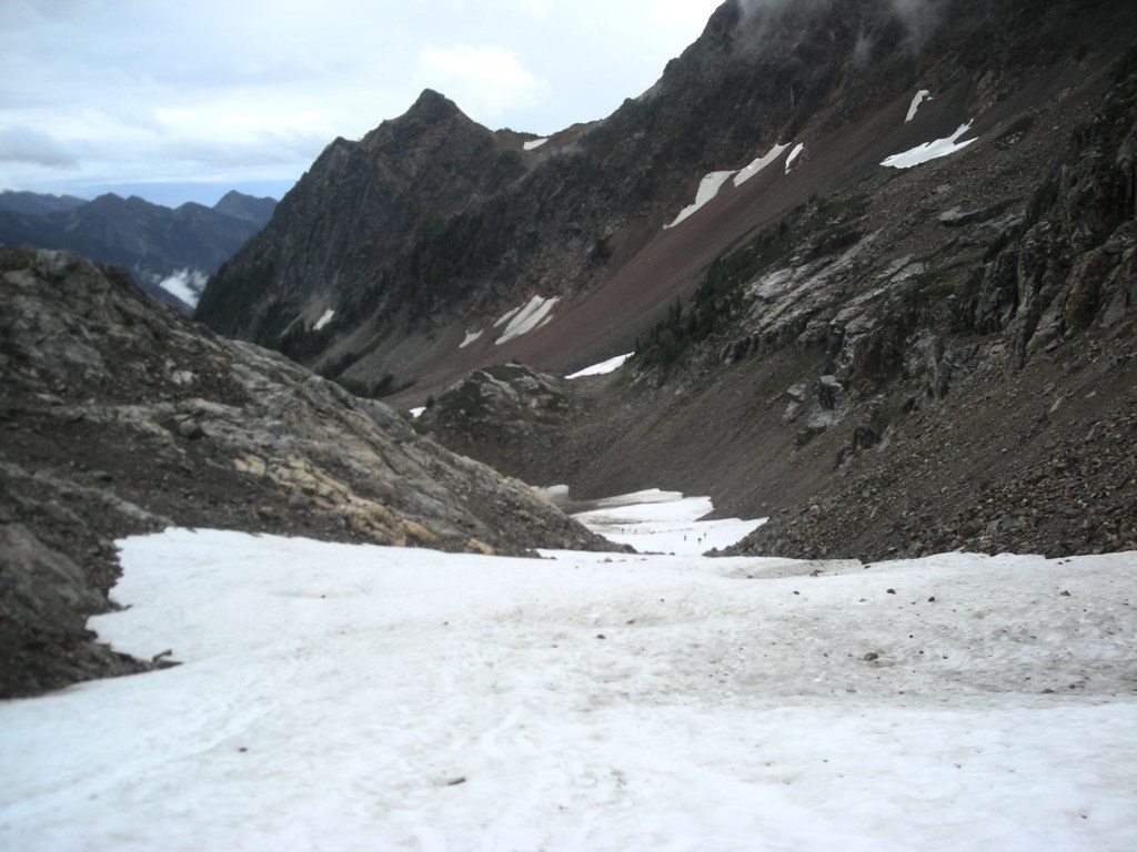


Hiking Cloudy Pass to Holden
Cloudy Pass to Holden
Map & Directions
Before You Go
8.29.25: The trail east of the junction with the Summer Blossom trail is closed until further notice due to the Martin Fire.
WTA Pro Tip: Save a copy of our directions before you leave! App-based driving directions aren't always accurate and data connections may be unreliable as you drive to the trailhead.


