

Mount Daniel is the highest peak in both King and Kittitas Counties, and, at nearly 8000 feet, it’s a popular scramble. However, caution should be taken. Maintained trails end miles before reaching the summit. The remaining distance is broken into class 2 and 3 sections with significant exposure. Route finding skills, climbing etiquette, and possibly snow travel experience are required for a safe journey.
To start, follow the trail description for Peggy’s Pond. The last half mile to Peggy’s, on narrow ledges with steep drop-offs, is just a prelude to what lies ahead. Once at the pond, follow the western edge to the well-marked ‘Y’ junction in a meadow where the trail on the left heads straight for a large, smooth rock outcrop. Follow the left trail toward the rock.
The trail quickly fades into a waypath and climbs steeply, pressing through think clumps of subalpine fir. In a quarter mile another path meets up and both head left and uphill over pleasant meadows until they level out on a scenic bench at a half mile from Peggy’s Pond. Good views can be had looking east.
Keep gaining ledges southwestwardly until the krummholz is reached on the now narrower ridge nose. Keep on or near the ridge proper as views of Circle Lake begin to open on the left. Arrive on a level ridge with great views over the glacial basin to the right at about one mile, 7000 feet. Continue west along the easy ridge traverse to the shoulder of Mount Daniel’s East Peak.
Here is the first place where hands may be necessary. Gain a short ledge on its left side and continue aiming high once back on the ridge crest. The way is well worn and obvious as it meanders along the loose and steep slopes. Spade and Venus Lakes come into view as the way passes between black basalt fingers and the arete edge of the ridge. Now begins the technical part of the trek.
Aim for the rounded high point above a gully that is wide enough only for single file traffic. Make sure to not loosen rocks onto those below. Once atop the high point, a gendarme seems to block further passage. Stay right and drop into a recess that feels uncomfortable but is passable. The hardest part is now over. Why not add some more obstacles to the mix?
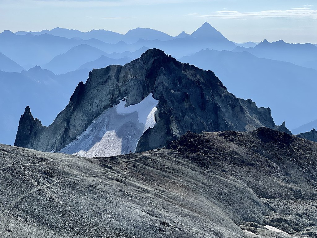
Stay nearly level now as the path heads left below the East Peak on crumbly dirt where a fall would seem to deliver one straight into Venus Lake. At the end of the dirty traverse is a saddle where a 100-foot choss pile now stands in the way. Carefully navigate the choss directly above the saddle and soon the massive summit block of Daniel will come into full view.
Here a trail so wide and level that it could be run makes a beeline to the base of the true summit, passing the middle summit along the way. A makeshift campsite sits on the rounded ridge below the true summit. With a few class 3 moves and a little adrenaline the summit is attained and half of western Washington comes into view along with myriad recognizable lakes and peaks.
 Trailhead


