Trails for everyone, forever

Home Go Hiking Hiking Guide Annette Lake Sno-Park

Annette Lake Sno-Park

Snoqualmie Region > Snoqualmie Pass
47.3929, -121.4741 Map & Directions
Length
2.0 miles, roundtrip
The Asahel Curtis Nature Loop is easily accessed from the Annette Lake Sno-Park. Photo by Hikeswith3. Full-size image
  • Dogs allowed on leash
  • Good for kids
  • Wildlife

Parking Pass/Entry Fee

Sno-Parks Permit
Saved to My Backpack

The Annette Lake Sno-Park offers visitors access to multiple winter outdoor activities, along with a large plowed parking lot, toilet and educational resources. Continue reading

Rating
2.00 out of 5

Hiking Annette Lake Sno-Park

The Annette Lake Sno-Park offers visitors access to multiple winter outdoor activities, along with a large plowed parking lot, toilet and educational resources. 

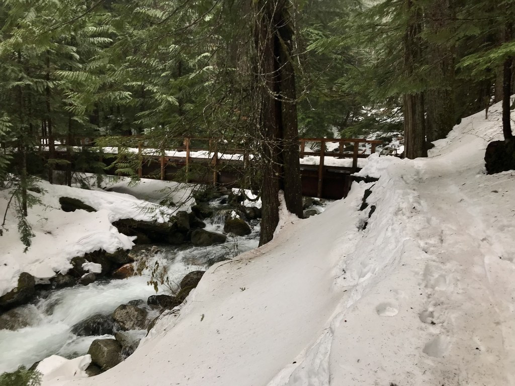
From the Sno-Park, visitors have easy access to the Asahel Curtis Nature Loop, a short half-mile loop good for a snowy stroll through the forest. Visitors can also snowshoe to the Palouse to Cascade Trail.

Note: Be aware that while it is possible to hike the trail to Annette Lake from here, it crosses several avalanche chutes and is considered dangerous in the wintertime. 

Don't forget your Sno-Park pass — you'll need one from December 1 through March 31, possibly earlier or later depending on what the snowy season looks like. Outside of this window, you'll need a Northwest Forest Pass to park at the trailhead.

Toilet Information

  • Toilet at trailhead

More information about toilets

Annette Lake Sno-Park

Map & Directions

Trailhead
Co-ordinates: 47.3929, -121.4741 Open in Google Maps

Before You Go

See weather forecast

Parking Pass/Entry Fee

Sno-Parks Permit

WTA Pro Tip: Save a copy of our directions before you leave! App-based driving directions aren't always accurate and data connections may be unreliable as you drive to the trailhead.

Getting There

The Sno-Park is the same parking lot as the normal Annette Lake trailhead parking lot. On I-90, take exit 47. Turn south onto NF-55 to the junction shortly off the overpass. Turn left onto Asahel Curtis Road for 0.4 miles; the Sno-Park will be on your right. 

The parking lot is plowed with over 40 spots and a toilet. 

More Hike Details

Trailhead

Snoqualmie Region > Snoqualmie Pass

Mt. Baker-Snoqualmie National Forest, Snoqualmie Ranger District, Washington State Parks

You can improve or add to this guidebook entry!

Annette Lake Sno-Park

21 Trip Reports

Hiked here recently?

Submit a trip report!
 
Trip Reports