

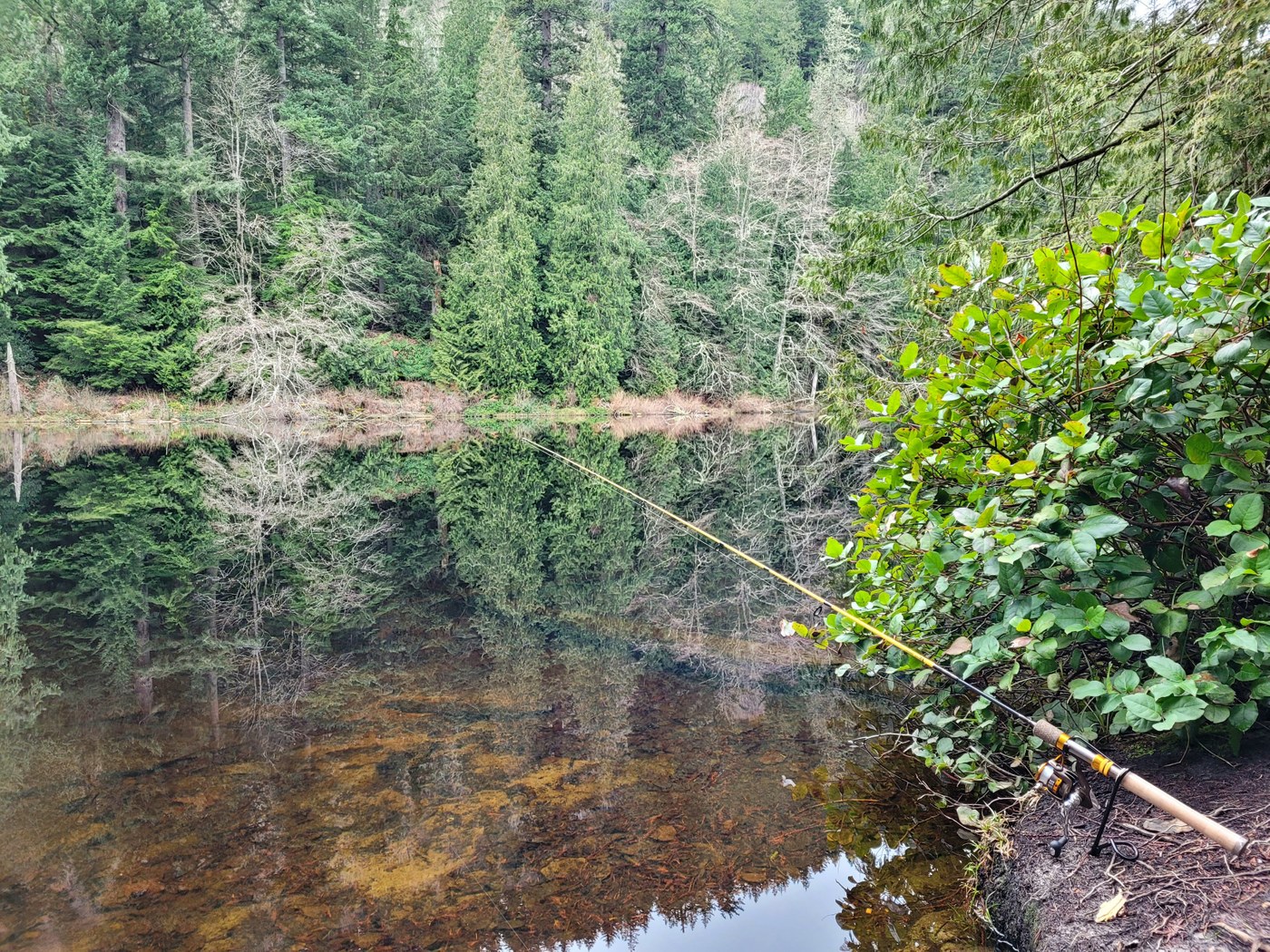
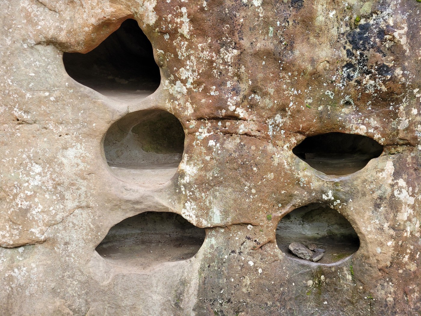
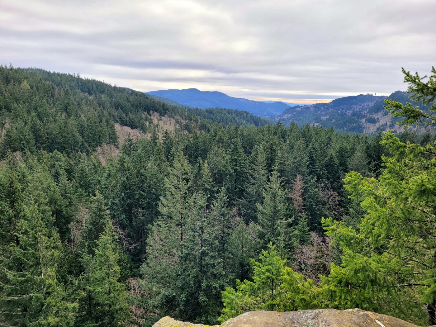
Sometimes you feel like a nut. Sometimes you don't. Today I felt like one, so I went hiking in the Chuckanut Mtns. I made a lollypop loop starting at the Pine & Cedar Lakes Trailhead. The road is paved to the trailhead, but the parking lot has some deep potholes to roll through. Remove any and all valuables from your cars as thieves routinely prowl here. The P&C Lakes Trail is wide and in excellent shape. There are a few down trees to step over and some slippery muddy spots but that's it. The trail heads steeply uphill for 1.6 miles to the Hemlock Trail junction. Once there, I turned right and hiked over Raptor Ridge to the North Lost Lake Trail. Raptor Ridge has a great viewpoint at the top, but no velociraptors. The trail is more technical than Pine & Cedar with lots of rocks, roots, mud and narrower tread to negotiate. In other words, it's an actual trail and not an old road. The Raptor switchbacks for a mile down to the North Lost Lake Trail which I took north one mile to the Chuckanut Ridge Trail. The Ridge Trail travels southeast along a spine of Chuckanut sandstone with views of Mt. Baker, Bellingham and Puget Sound. After three miles of ridge rambling, I reached the Cyrus Gates Viewpoint and start of the Rock Trail. A WTA work party was out there today cutting up blowdowns and clearing the trail. Thanks, volunteers!!! The Rock Trail heads steeply downhill to connect with the S. Lost Lake Trail (turns back into the N. Lost Lake Trail), where I turned north again and hiked a little over two miles back to the Raptor Ridge Trail. Lots of mud on this section of trail. From there I retraced my steps to the Pine and Cedar Trail. Since it was still early enough, I stopped by Pine Lake and busted out the fishing pole for a couple hours before heading back to the car. Lots of folks were coming up to the lakes in the evening. I saw hardly anyone all day but passed a couple dozen people on the way out after dark.
Summary: approx 14 miles RT/2500-3000ft elevation gain
Comments
thebrink on Pine and Cedar Lakes, Hemlock Trail, Larrabee State Park - Chuckanut Ridge Trail, Larrabee State Park - Rock Trail, Larrabee State Park - North Lost Lake Trail, Raptor Ridge Trail
Looks like you did the Grand Tour. It is surprising how much distance and gain you can in on the Chuckanuts.
Posted by:
thebrink on Feb 10, 2022 04:04 PM
MeLuckyTarns on Pine and Cedar Lakes, Hemlock Trail, Larrabee State Park - Chuckanut Ridge Trail, Larrabee State Park - Rock Trail, Larrabee State Park - North Lost Lake Trail, Raptor Ridge Trail
The Grand Tour, eh? I like the sound of that.
Posted by:
MeLuckyTarns on Feb 10, 2022 06:54 PM