Trip Report
Tarbell Trail, Chinook Trail, Silver Star Mountain - Ed's Trail & Kloochman Butte Trail — Sunday, Oct. 31, 2010
 Southwest Washington > Lewis River Region

This is a great loop hike with a waterfall, open meadows, a rock arch, scenic vista's and a great summit view. In all I think it was around 12 miles.
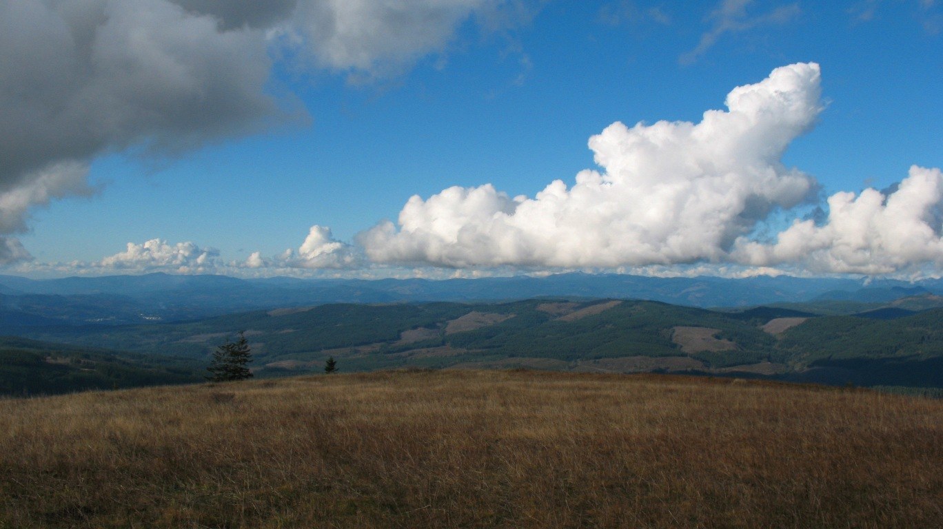
I set out to see how some of the views would be affected by the BPA proposal to put high transmission lines through a new corridor just west of Silver Star Mountain. Although you would see the lines along the section of the Tarbell Trail that I did, they would be very present in the views from the Kloochman Butte, Silver Star mt. and Grouse Vista trails.
I started at the Grouse Vista Trailhead and took the Tarbell Trail (DNR) for about 5 miles to Hidden Falls. Along the way you pass through a new clear-cut which is a stark contrast to the lush forest at the falls. Then I continued on to the jct of with the Kloochman Butte Trail which is also part of the Chinook Trail system.
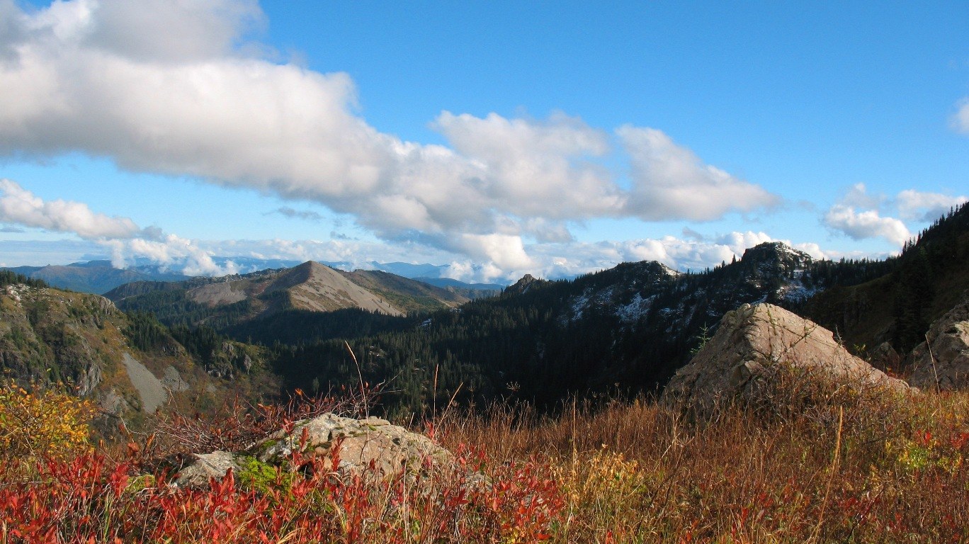
The Kloochman Butte Trail climbs through some very pretty meadows to the north ridge of Silver Star Mountain. If you stay straight at the junction wit the Silver Star Mt. Trail, you'll end up on Ed's Trail just before the memorial to the visionary trail builder and co-founder of the Chinook Trail Association.
I followed Ed's Trail south through some patches of snow, up the rocky scramble and to the jct with the Bluff Mt. Trail. From there it is a little tricky since there are a couple of confusing intersections. I continued south past the jct for the Indian Pits spur (180E) and went on to the Grouse Vista Trail.
The Grouse Vista Trail is really an old road so it is very rocky were it has been eroded. Where the trail traverses across the ridge it is not bad, but the steeper rocky sections are not very fun. I almost slipped on looks rocks covered by wet leaves several times.
Just south west of Pyramid Rock I wandered off trail about 100 yards to the grassy ridge top to look out to the east and got a great view of Mt. Hood!
The fall colors were really nice although I missed their peak by a couple weeks I think. Along the way I met some deer hunters on Ed's Trail, I was glad to have my orange vest on!


Comments
Couldn't Locate Kloochman Butte Trail Off of Tarbell Trail
I was out hiking yesterday, looking for Hidden Falls and the Kloochman Butte Trail. I found the falls off of the Tarbell Trail at about mile 5.25, but couldn't locate where the Kloochman Butte Trail starts off of Tarbell. A map I downloaded shows the start a little before mile 4 on Tarbell.
Could you please give me a clue on where to find the start of this trail?
Thanks,
Rory
rory.lentz@yahoo.com
Posted by:
"RLentz" on Jul 18, 2012 02:47 PM
Kloochman Butte Trail is Chinook Trail
sorry for the name confusion, the official name for the trail I hiked is the Chinook Trail (180B) which links the Tarbell Trail to the Silver Star Trail (180). Its junction with the Tarbell is right near mile post 4 on the DNR's map. Some of the locals call it the Kloochman Butte Trail and that is what I used in the trip report. I think the Forest Service gave it the official name and the old name isn't used much anymore.
Once should note that the "Chinook Trail (180B)" is a section of the larger Chinook Trail system. That system was envisioned back in the early 80's as a 300 plus mile bi-state loop encircling the Columbia River Gorge. Longest section is about 27 miles from Moulton Falls to the eastern end of the Bluff Mt. Trail.
Posted by:
"Ryan Ojerio" on Jul 18, 2012 02:47 PM