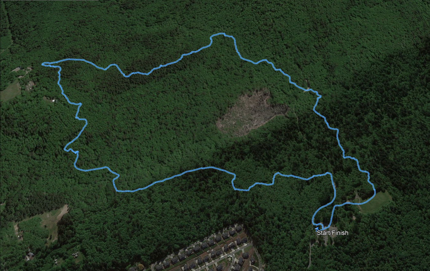
Hike GPS data for Google Earth viewing
Per Garmin, 3.4 miles/397 vertical feet.
Parking: Sky Country lot was about 1/4 full at 1 PM on a sunny Wednesday afternoon; blue sky, no clouds.
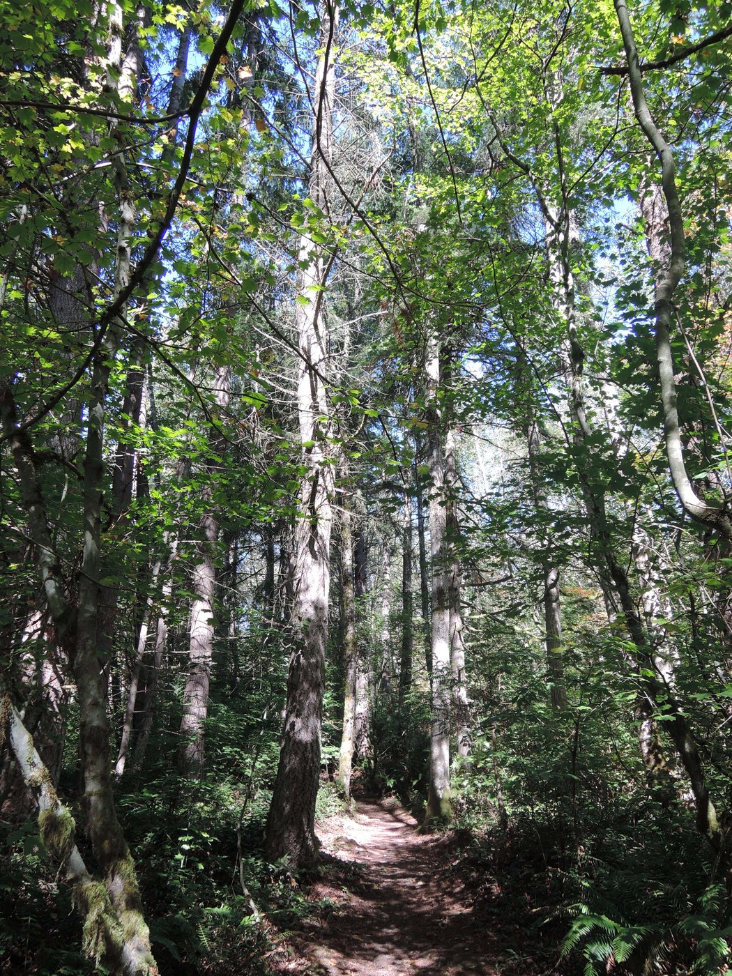
Trail: Dry; not muddy, no puddles. Still plenty of green, but it's definitely autumn.
Weather: It's cool. I was comfortable in a coat and hat; didn't need gloves.
Wildlife: Heard another pileated woodpecker. Saw/heard many snakes enjoying the afternoon sun. Heard more birds singing than usual; reminded me of summer.
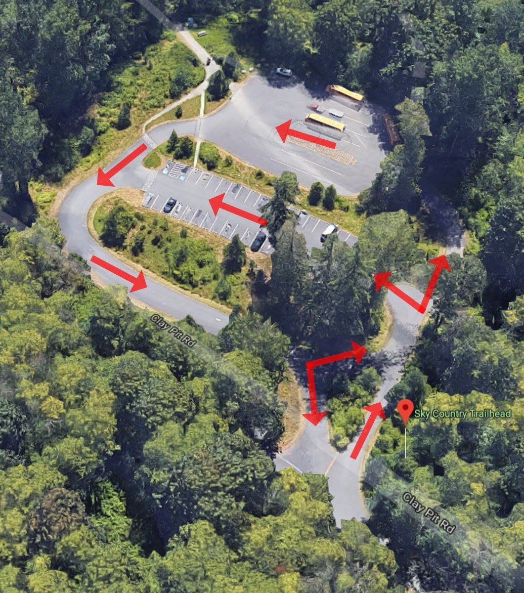
Caution: Blind corners and drivers disregarding traffic directionality create Sky Country parking lot hazards. Every stretch of the figure-8-shaped lot is a one-way (see the attached picture). Directionality is indicated with traffic signs and pavement arrows. However, people frequently drive against the one-ways. We’ve all disregarded parking lot traffic signs, but the lot has blind corners that are only safe when directionality is followed. I have seen people charging excitedly into the parking lot and around blind corners with the confidence they have the right-of-way to the whole lane. I have also seen people in a hurry to get home drive furiously around the same blind corners the wrong way. At some point, people will collide. So, do not be one of those people; recognize that, once you are in the parking lot, Mad Max rules apply and drive cautiously around every corner assuming someone could be hurtling against the one-way toward you.


Comments