
My (somewhat unplanned) route ended up being:
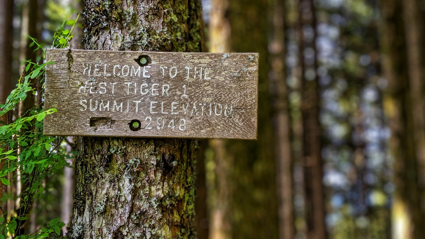
- High Point Trailhead > High Point Trail > Lingering Trail > Dwight's Way > Preston > West Tiger #1
- Bypass Trail > West Tiger #2 Trail > West Tiger #2
- Unknown > West Tiger #3
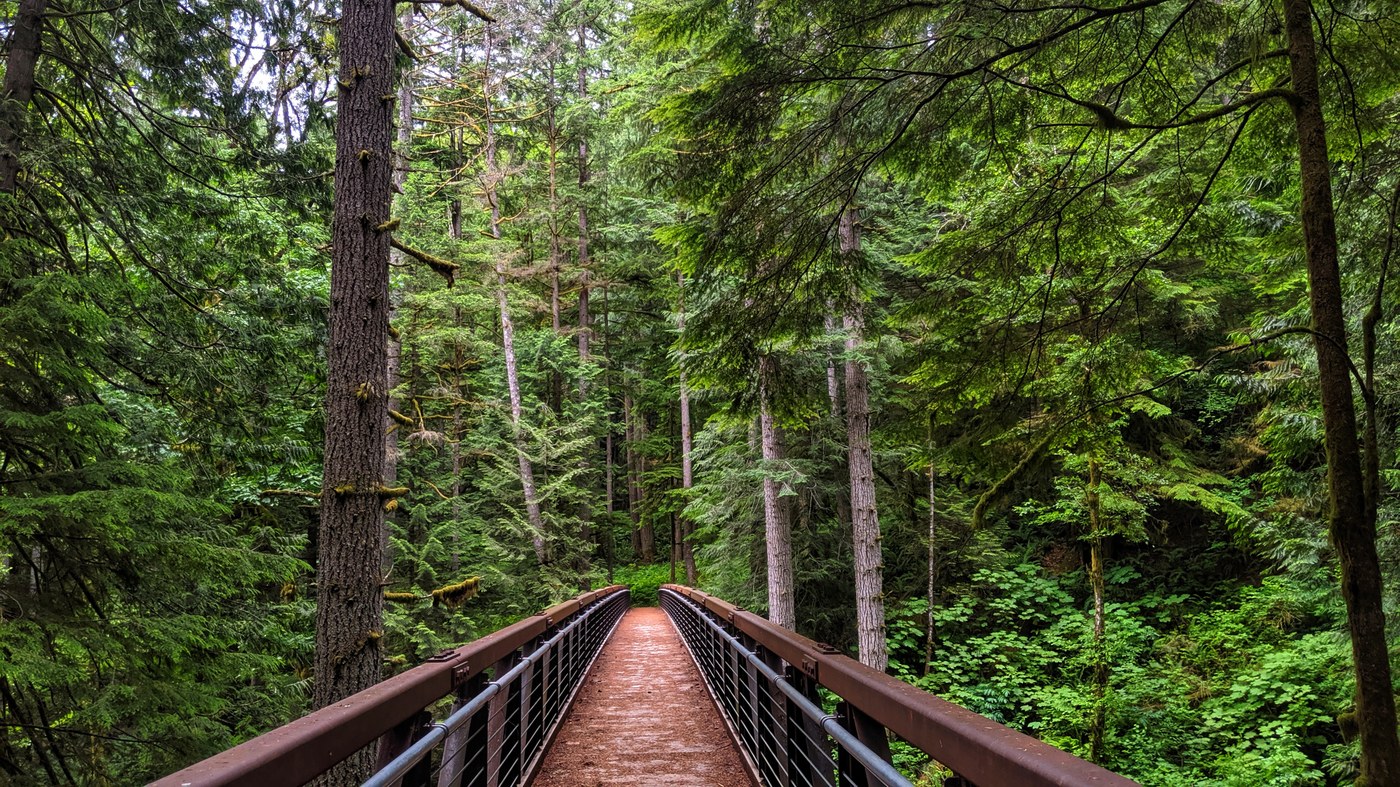
- West Tiger #3 Trail > West Tiger RR Grade > K-3 Trail > Tiger Mountain Trail > High Point Trail > High Point Trailhead
Arrived at the trailhead at 4:30 PM on a sunny Wednesday; plenty of roadside parking. Waved to the tent city residents as I found my way to the forest and started hiking!
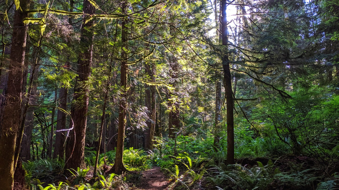
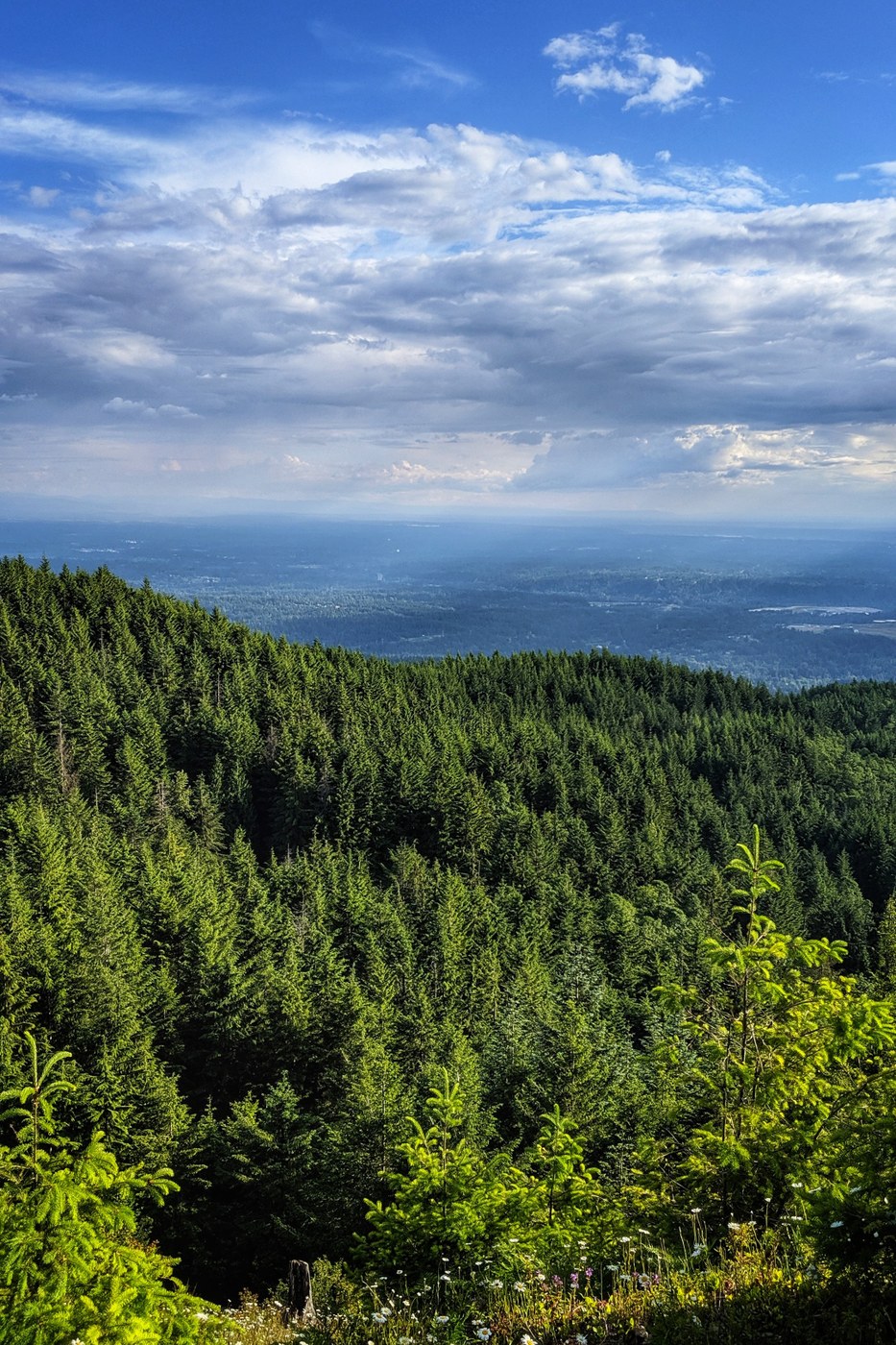
The first part of the route was well graded and the forest was beautiful in the afternoon light. So many ferns! Then about a mile or so in, the path started climbing and didn't let up until the Tiger #1 summit. I did Mailbox Peak (new route) this past weekend for the first time, and this hike DEFINITELY felt steeper in parts, mostly towards the end. Once I got to the first summit, I thought the next didn't seem too far, so went for it. Same with Tiger 2 to 3.
The screenshot map that I took before I set off came in handy to finding my way back across the RR grade trail to K-3 (which by the way is in amazing shape for a "non-maintained" trail). Made it back to the trailhead around 8:30 PM, just in time to beat the dark. Oh, and I ran into zero people on the way up, but a couple on the Tiger 3 trail on my descent.
If I were to do anything differently on this hike I would STUDY THE MAP before I left and BRING A PRINTED MAP with me. There are SO MANY intersections, I got off my planned route immediately and didn't realize until much later.
Comments