8 trails to view salmon this fall
It’s that time of the year again, leaves are falling and turning their bright and brilliant reds and so are the salmon. In Washington, we have the incredible opportunity to witness salmon complete a seemingly impossible feat, traveling hundreds, sometimes thousands of miles inland, upstream, without eating, all to create the next generation.
On trail, you may also see salmon carcasses, which contribute a great deal to the ecosystem. Salmon are vital players in healthy habitat in the Pacific Northwest, bringing nutrients from years spent in the open ocean back into the streams and rivers where they were born. This beautiful yet often brutal cycle provides sustenance for countless species including wolves, bears, various birds of prey, humans, trees and more.
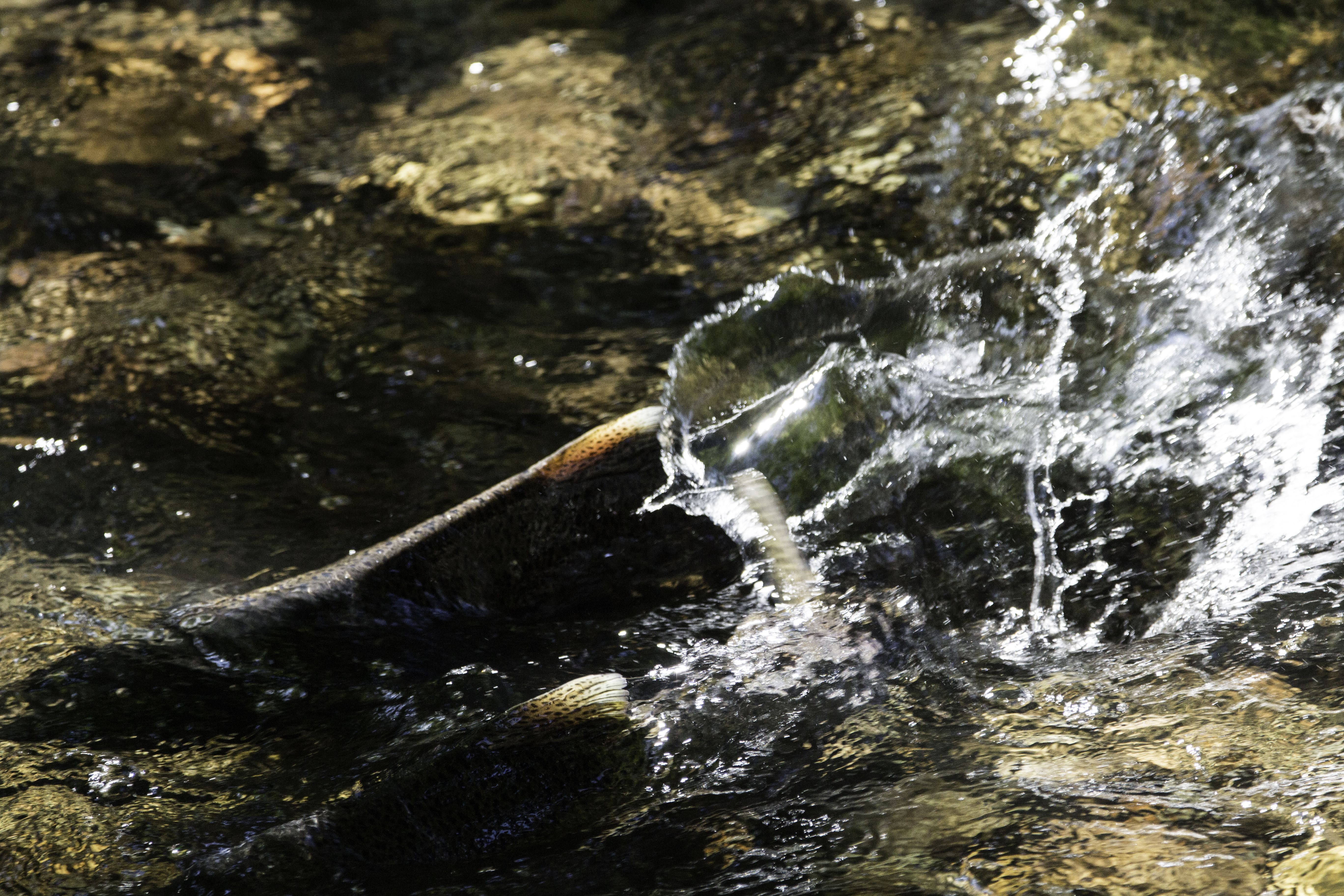 Salmon run. Photo by Victoria Obermeyer.
Salmon are sacred to the First Peoples of this country. It is important to acknowledge the incredible work Tribes have been doing to restore this habitat and how sacred Tribal harvest and protection of salmon has been since time immemorial.
Here are a few tips to ensure you respect the salmon and their space as they fulfill their final life cycle and continue the legacy of salmon runs in the future:
- Walk slowly to the stream and stand quietly as you observe
- Do not enter the water
- Avoid contact with any salmon carcasses on shore
Here is a helpful Salmon ID guide from Nisqually River Education Project!
Skagit River Loop
Location: North Cascades -- Highway 20
Length: 1.3 miles, roundtrip
Elevation: 118 feet

Winding river views. Photo by trip reporter tiffanyc.
If you’ve ever driven along Highway 20 in the Cascades, you’ve likely caught glimpses of the Skagit River. This beautiful trail loops you through lush river landscapes with access to the water. If you’re around from May to September, be sure to stop by the nearby visitor center, which is open during the summer season.
> Plan your hike to Skagit River Loop using WTA’s Hiking Guide
Tumwater Falls
Location: Olympic Peninsula -- Olympia
Length: 0.5 mile
Elevation: 30 feet
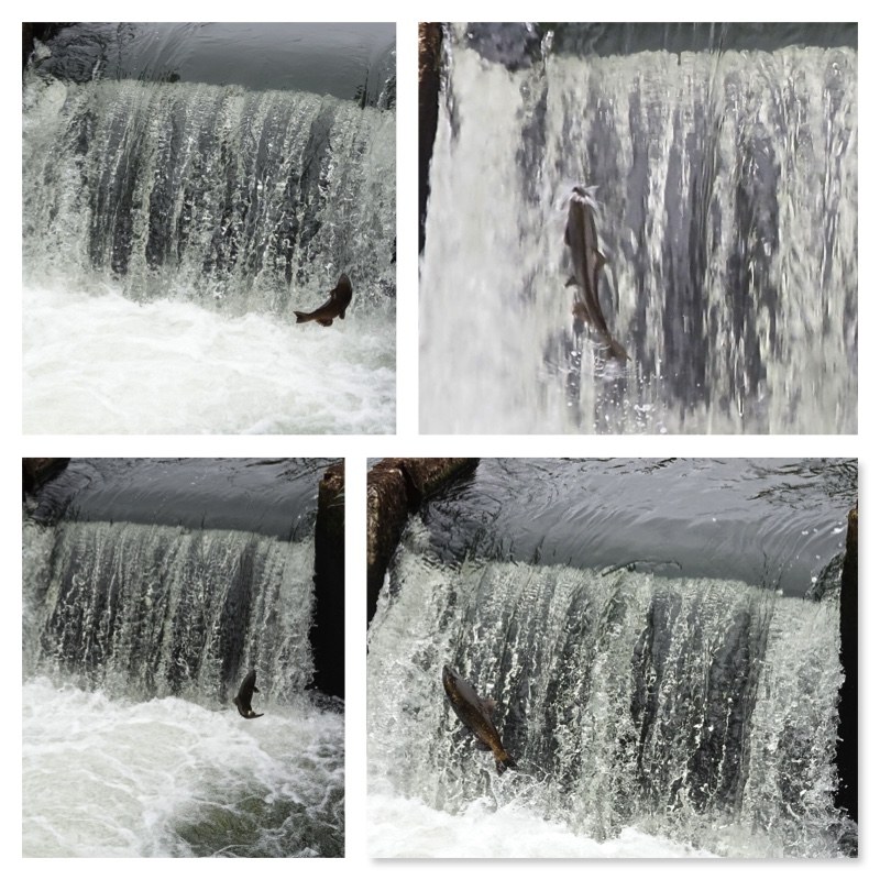
The fish ladder at Tumwater Falls provides the perfect location for salmon spotting. Photo by trip reporter Bob and Barb.
With a nearby playground and plenty of interesting infrastructure to check out, this short but satisfying trail has something for everyone. From September to October, keep an eye out for silvery flashes of salmon! You’ll likely see them passing through the fish ladders.
> Plan your hike to Tumwater Falls using WTA’s Hiking Guide
Carkeek Park
Location: Puget Sound and Islands -- Seattle/Tacoma Area
Length: 3.5 miles, roundtrip
Elevation: 800 feet
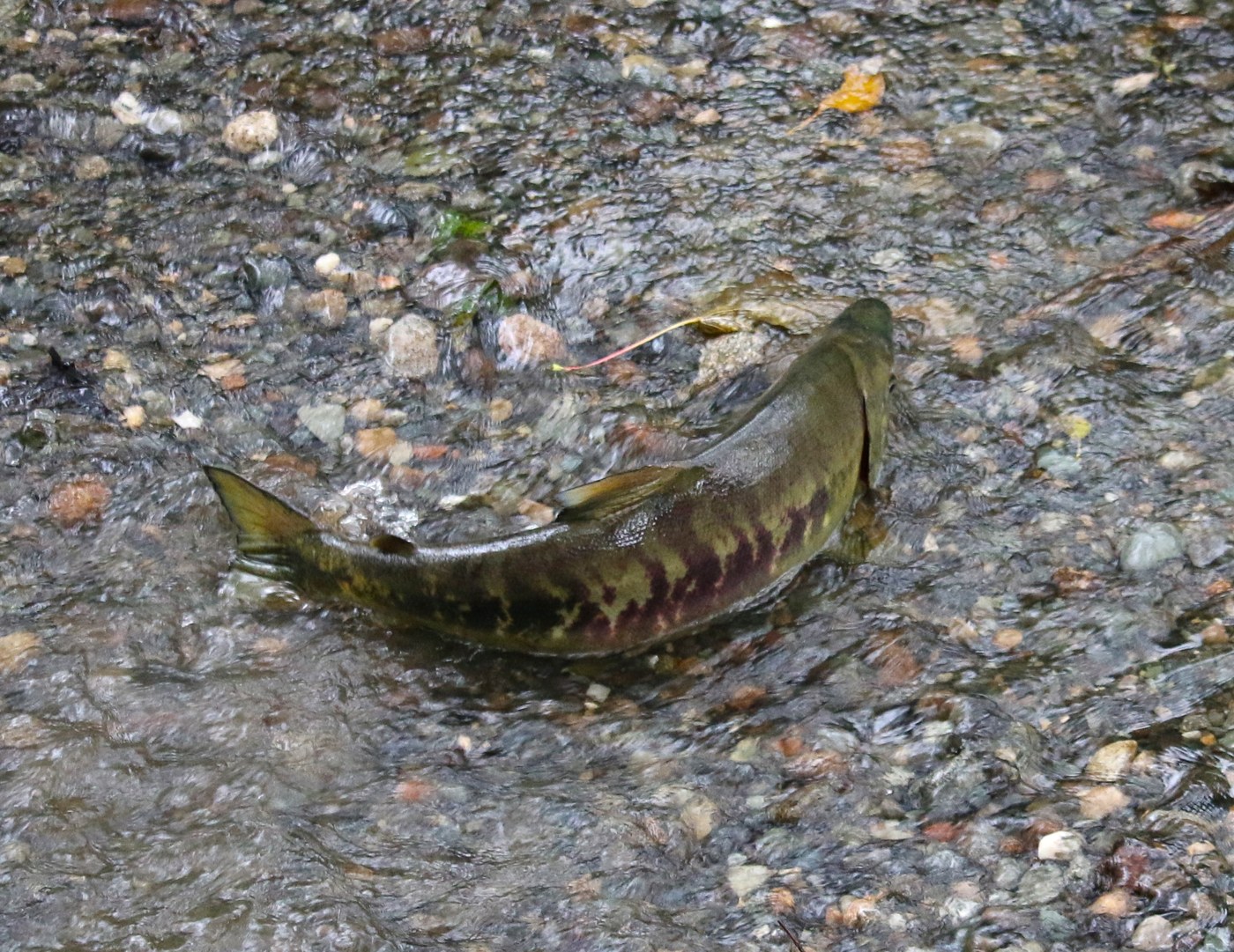
A salmon making its way upstream at Carkeek Park. Photo by trip reporter wafflesnfalafel
A hidden gem in north Seattle. This park offers not only excellent trails but includes access to Puget Sound. Not only does this space provide a quiet getaway from the city, but it can be amazing to see salmon runs so close to a major metropolitan area.
> Plan your hike to Carkeek Park using WTA’s Hiking Guide
Cedar River Trail
Location: Puget Sound and Islands -- Seattle-Tacoma Area
Length: 17.4 miles, one-way
Elevation:820 feet
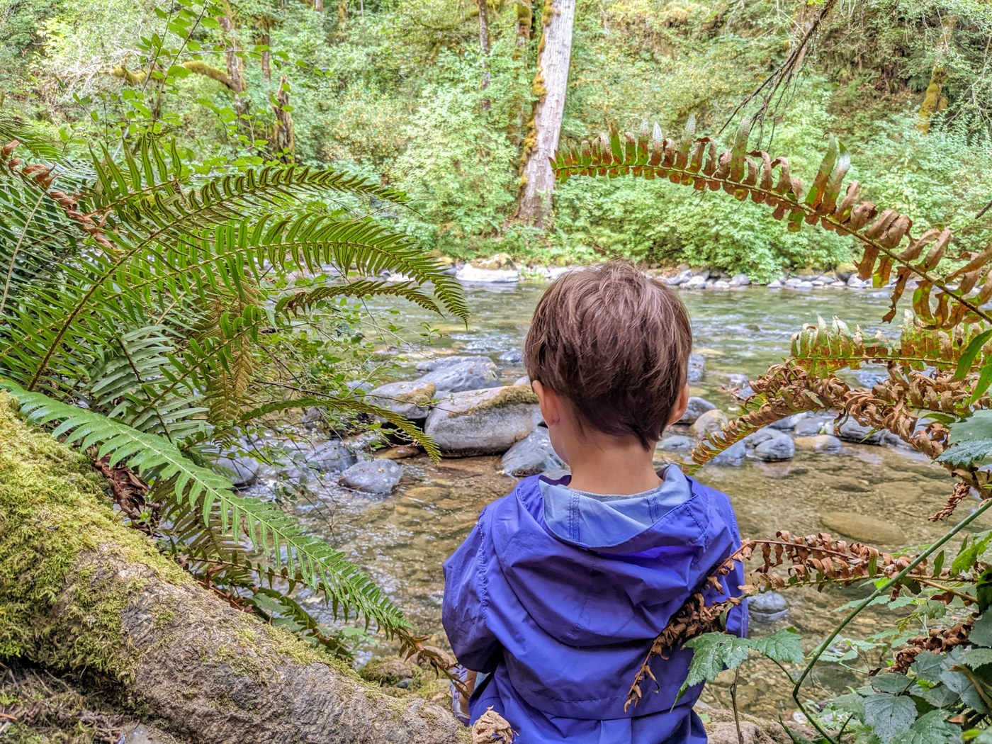
Enjoying the river access on trail. Photo by Mark Root-Wiley
With various access points, you can hop on or off this trial wherever you please. Hugging the river along the way, this formal rail bed, urban trail provides a variety of experiences, including constant views along the waterbank. Throughout the month of October, Seattle Aquarium even has naturalists along the trail to chat with hikers and bikers alike about the incredible salmon in the river.
> Plan your hike to Cedar River Trail using WTA’s Hiking Guide
Middle Fork Snoqualmie Trail
Location: Snoqualmie Region -- North Bend Area
Length: 12 miles, roundtrip
Elevation: 1,650 feet
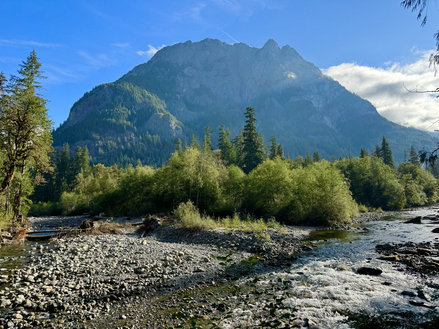
Excellent view and potential to spot salmon along the way. Photo by trip reporter Outdoor Nancy.
As the second-longest trail on our list, we promise you won’t be disappointed by the views here. At this point in the river, you probably won't be able to see any salmon. But with wonderful walks along the river and bridge crossings, even without the potential of seeing any salmon on this hike, we're confident you'll still enjoy this beautiful trail.
> Plan your hike to Middle Fork Snoqualmie Trail using WTA’s Hiking Guide
Klickitat Haul Road
Location: Southwest Washington -- Columbia River Gorge
Length: 7 miles, roundtrip
Elevation: 825 feet
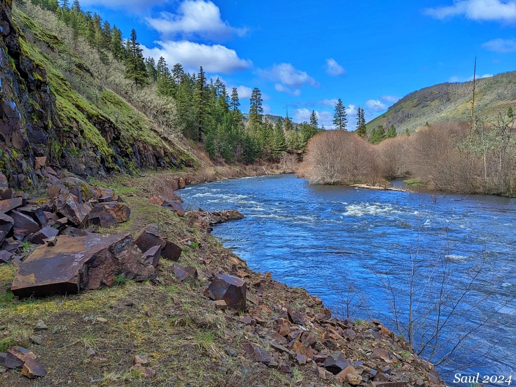
A historical trail and restoration win, this trail has it all! Photo by trip reporter Sunrise Creek
This trail has a fascinating history. A former logging railroad, it was destroyed by a flood in the 90s, then purchased by the Columbia Land Trust and turned into a fish habitat restoration site in 2007.
> Plan your hike to Klickitat Haul Road using WTA’s Hiking Guide
Skookum Flats
Location: Mount Rainier Area -- Highway 410
Length: 4.6 miles, roundtrip
Elevation: 525 feet
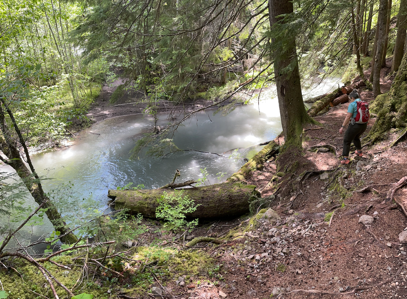
Enjoying views of the river. Photo by trip reporter MossySketcher
Keep your eyes peeled for lovely flora and fauna and mushrooms along this hike. Though long, this trail has little elevation; be mindful of rocks and roots along the way. There are a few bridge crossings where you may see salmon pass underneath.
> Plan your hike to Skookum Falls using WTA’s Hiking Guide
Chelan Gorge Trail
Location: Central Cascades -- Entiat Mountains/Lake Chelan
Length: 5.7 miles, roundtrip
Elevation: 504 feet
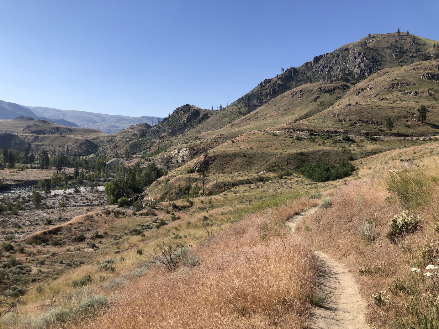
A perfect chance to take in the sweeping landscape of the Columbia River. Photo by trip reporter Banjoyist
This trail not only provides an opportunity to admire the awe-inspiring geology our state has to offer, but also a wide array of wildlife you can spot while on trail. Hugging the mighty Columbia River, you’ll want to be mindful of river height and potential rising water levels before heading out on trail.
> Plan your hike to Chelan Gorge Trail using WTA’s Hiking Guide
Have you recently seen salmon from the trail? We want to hear all about it and see your photos! File a trip report to share your most recent sightings with fellow hikers.

