Spring Hikes Near You
One of the best things about Washington is you don't have to wait for snow to melt in the high country to get a flowery nature fix in the spring. In fact, the trails closest to home might just be the perfect destination for fitting a shorter trip into your schedule.
Warmer weather, longer days and the promise of new adventures await, sometimes right in your own neighborhood.
As the days get longer, take a little time outside between meetings or for a half-day on the weekend. To help you find your next hike close to home we've put this list together.
Want more? You can find more trails near your neighborhood in our Hiking Guide. Check out a list of WTA-staff recommended local hikes. Or browse our other spring recommendations to get your legs ready for summer.
Seattle Area
Bellevue Botanical Garden
Closest City: Bellevue
Length: 1.7 miles, roundtrip
Public Transit: Yes
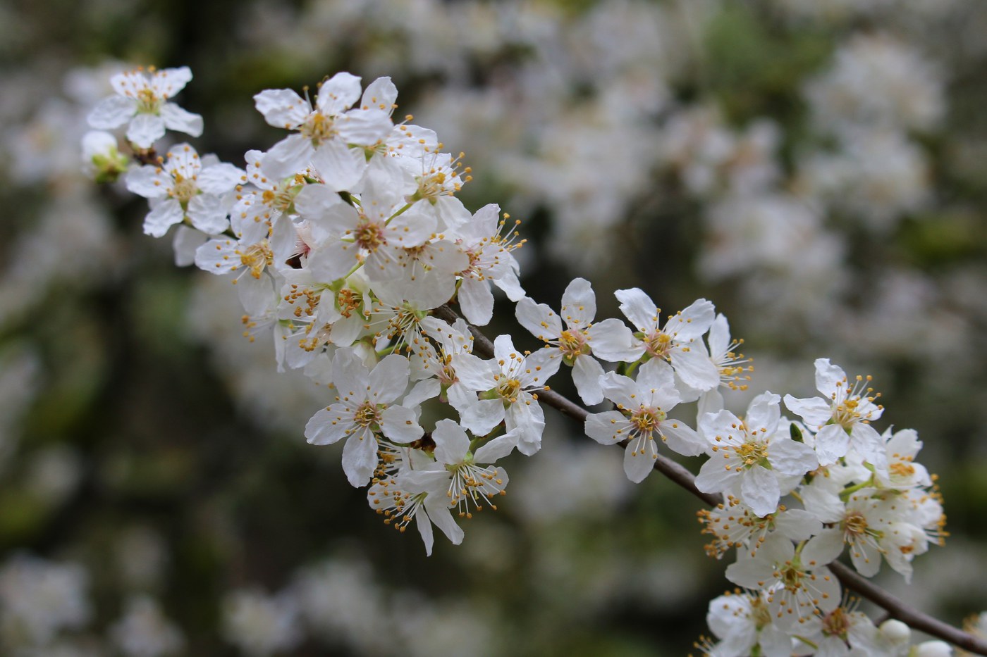
Spring blooms at the botanical garden. Photo by wafflesnfalafel.
The Bellevue Botanical Garden makes for a beautiful year-round destination, but spring, when flowers and blossoms begin to peek out, is an incredible time to visit.
> Plan your visit to the Bellevue Botanical Garden using WTA's Hiking Guide
Lakeview Trail
Closest City: Mountlake Terrace
Length: 2.0 miles, roundtrip
Elevation Gain: 95 feet
Public Transit: Yes
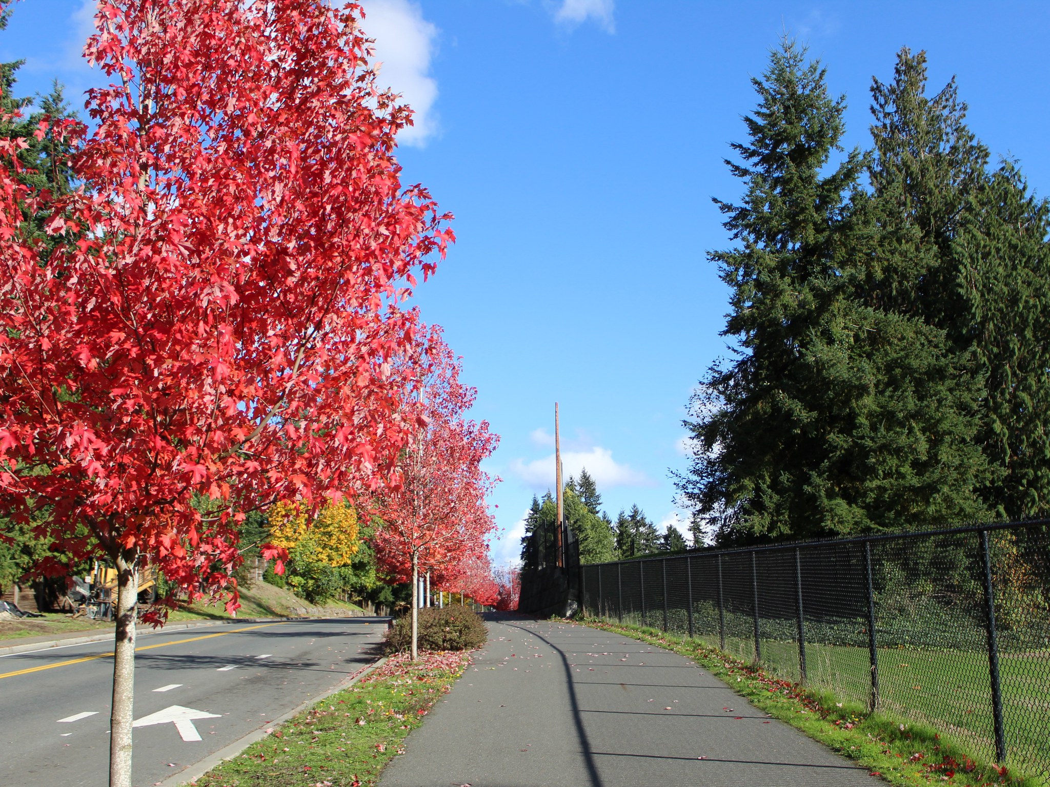
The Lakeview Trail on a crisp fall day. Photo courtesy City of Mountlake Terrace.
Enjoy two miles of trekking along the paved Lakeview Trail in Mountlake Terrace. Lovely in any season, springtime brings birds chirping and bright green new growth along the way.
> Plan your visit to the Lakeview Trail using WTA's Hiking Guide
Bellingham Area
Bay to baker trail
Closest City: Bellingham
Length: 8.5 miles of trails
Elevation Gain: Minimal
Public Transit: Yes
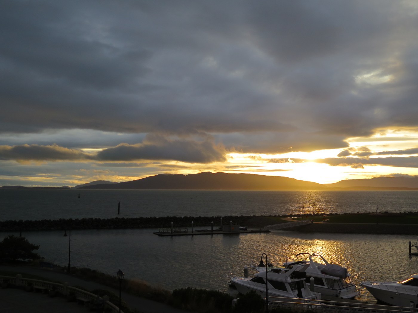
Water views feature heavily on the Bay to Baker Trail. Photo by wafflesnfalafel.
Conveniently located in the heart of Bellingham, the Bay to Baker Trail is a great trail for getting out when time is a factor. The trail has all sorts of sights to take in, including expansive views of the water, old railroad structure, and more. There's also a beach portion of the trail if you want to take a break and enjoy the spring breeze with sand beneath your feet.
> Plan your visit to the Bay to Baker Trail using WTA's Hiking Guide
Sehome Arboretum
Closest City: Bellingham
Length: 6.0 miles of trail
Elevation Gain: 325 feet
Public Transit: Yes
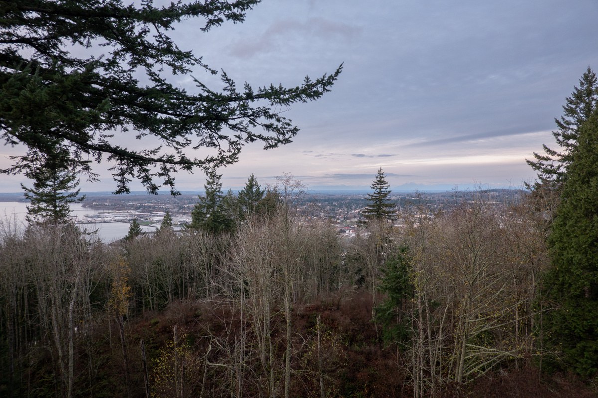
The view from the lookout area of Sehome Arboretum. Photo by ejain.
You don't even have to leave town to get a shot of nature in Bellingham. Sehome Arboretum — which has benefited from many WTA work parties — offers 6 miles of trails to explore right on the Western Washington University campus. Visit now, then come back again throughout the year to see how it changes in the seasons.
> Plan your visit to Sehome Arboretum using WTA's Hiking Guide
Vancouver Area
Beaver Marsh Loop
Closest City: Vancouver
Length: 1.0 mile
Elevation Gain: 10 feet
Public Transit: No

The creek crossing makes for a serene escape from the city. Photo by Susan Saul.
This 32-acre forested park is tucked neatly in Vancouver, making it a great place to take in a bit of nature after a busy day. The creek crossing features a wooden bridge, and the lush forestation of the park is a beautiful backdrop. Though no public transportation is available to the park, it is conveniently located near major interstates for easy access.
> Plan your visit to Beaver Marsh Loop using WTA's Hiking Guide
Raymond E. Shaffer Park
Closest City: Vancouver
Length: 0.35 miles
Elevation Gain: 65 feet
Public Transit: No
If you're looking for a quick stretch of the legs, then Raymond E. Shaffer Park is perfect for you. Built jointly by the city of Vancouver and WTA, it also gives you a chance to hike on an urban trail that the community and WTA helped build!
WTA Pro Tip: the meadow in the center of the park is a great place to enjoy a picnic if the spring weather cooperates.
> Plan your visit to Raymond E. Shaffer Park using WTA's Hiking Guide
Spokane Area
Appleway Trail
Closest City: Spokane Valley
Length: 5.1 miles, one way
Elevation: 100 feet
Public Transit: Yes
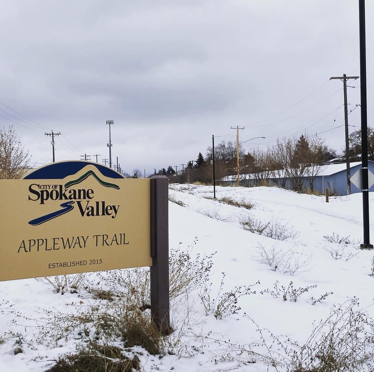
The Appleway Trail is a good way to get outside year-round. Photo by Holly Weiler.
The Appleway Trail, a rail-to-trail conversion, is a great way to travel through Spokane Valley without a motorized vehicle. Numerous benches line the paved trail, and restrooms are available, making this a great urban traverse for someone looking to get a run or hike in, or just using the trail for travel.
> Plan your visit to the Appleway Trail using WTA's Hiking Guide
South Hill Bluff
Closest City: Spokane
Length: 23 miles of trails
Elevation Gain: 350 feet
Public Transit: Yes
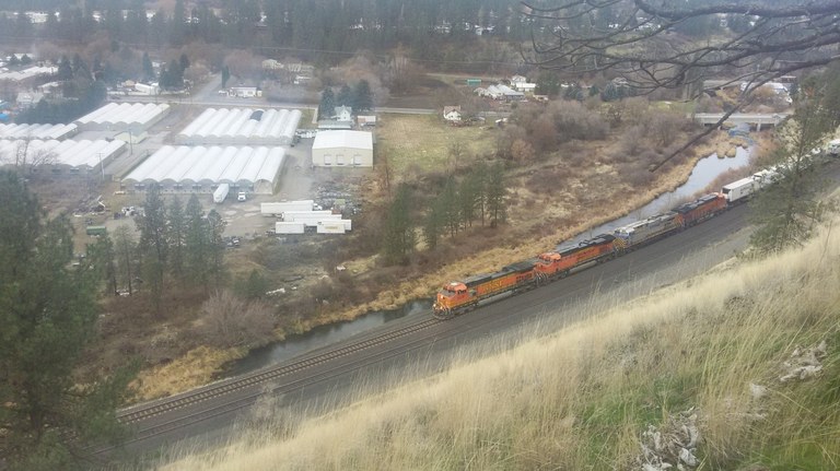
Views from the bluff include the nearby rail. Photo by Anna Roth.
With over 20 miles of trail to hike, the South Bluff is a lesser-known gem in Spokane that can be anything from a leg-stretcher to a full day outing depending on how you want to tackle it. The views are varied and take in both urban and nature settings, and a nice bonus is you can access this trail using public transit!
> Plan your visit to South Hill Bluff using WTA's Hiking Guide
Wenatchee Area
Apple Capital Recreation Loop Trail
Closest City: Wenatchee
Length: 10.0 miles, roundtrip
Elevation Gain: 600 feet
Public Transit: Yes
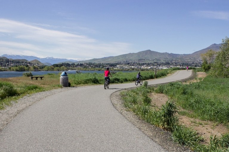
The Apple Capital Loop is a great place for all kinds of recreation. Photo by Ken Peterson.
The Apple Capital Loop is a great example of an urban trail that can be used for both commuting and recreation. Crossing the Wenatchee and Columbia rivers, this loop meanders along the water and takes in beautiful sights of the nearby mountains. This loop is also a popular destination for cross country skiers in the winter!
> Plan your visit to the Apple Capital Loop using WTA's Hiking Guide
Jacobson Preserve
Closest City: Wenatchee
Length: 2.0 miles, roundtrip
Elevation Gain: 340 feet
Public Transit: Yes
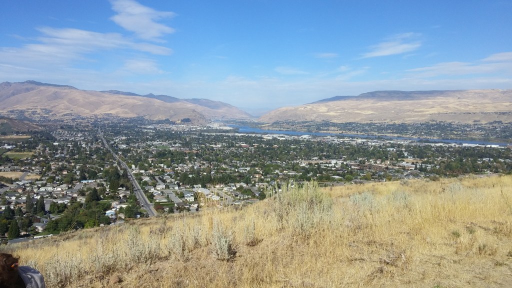
The views of Wenatchee are expansive from Jacobson Preserve. Photo by andreao.
The hills surrounding Wenatchee are popular recreation areas, and for good reason. With wide open views, grasslands and rugged rock features, they provide great ways to get out in nature with just a short trip from the city center. Perfect for a quick after-work hike, or a slower ramble on the weekends!
> Plan your visit to Jacobson Preserve using WTA's Hiking Guide
Tacoma Area
Wright Park
Closest City: Tacoma
Length: 0.9 miles, roundtrip
Public Transit: Yes
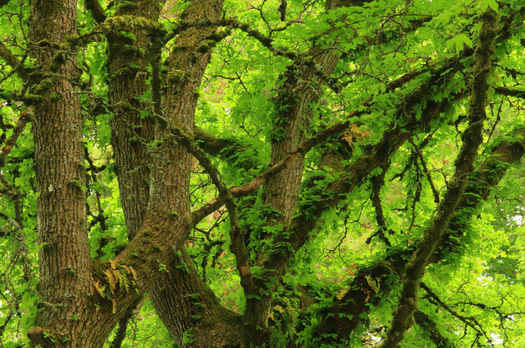
Wright Park features beautiful greenery to take in. Photo by Tiger Hiking.
Wright Park offers a little something for just about everyone. Tucked right in the heart of Tacoma, this park features winding trails that meander through forested areas, near water features, and even to a glass conservatory built in the early 1900s that welcomes visitors. Plenty to see and do in this urban park!
> Plan your visit to Wright Park using WTA's Hiking Guide
Thelma Gilmur Park
Closest City: Fircrest
Length: 1.2 miles, roundtrip
Public Transit: Yes
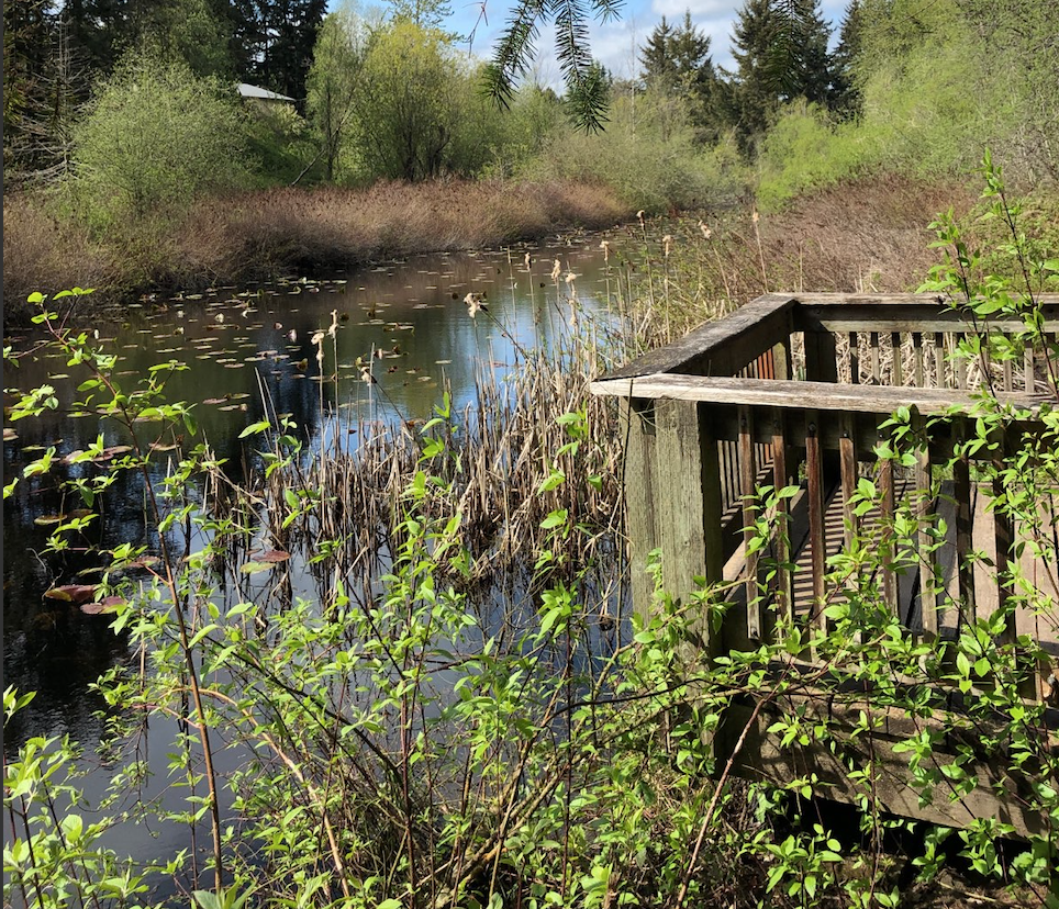
The pond is the main attraction at Thelma Gilmur Park. Photo by Tim Wakenshaw.
Though small, this park is a perfect destination for Tacoma area residents to get a bit of nature in. Tucked within the Fircrest residential neighborhood, Thelma Gilmur Park is named for the woman who fought for its protection so we can enjoy a slice of nature close to home. It's also possible to access this park by transit, so check out the Hiking Guide entry for information!
> Plan your visit to Thelma Gilmur Park using WTA's Hiking Guide
Yakima Area
Yakima Area Arboretum and Botanical Garden
Closest City: Yakima
Public Transit: Yes
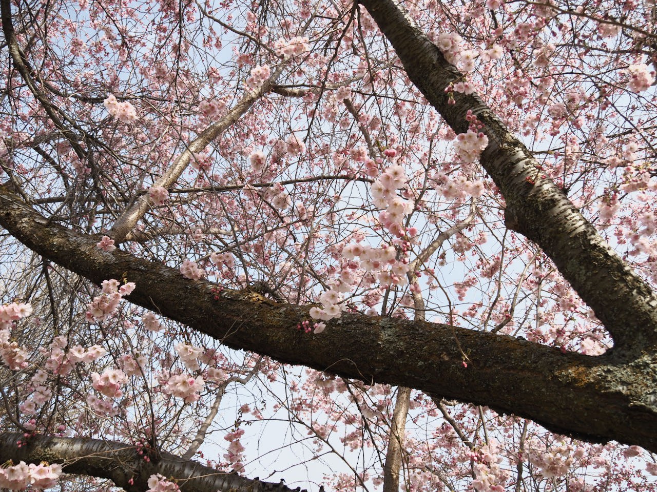
Spring is a perfect time to visit the arboretum. Photo by Bob and Barb.
The Yakima Arboretum is a perfect place to take in spring blooms and stretch your legs. Featuring hundreds of different plant species throughout the curated park, you're bound to find some beautiful sights to take in.
> Plan your visit to the Yakima Arboretum using WTA's Hiking Guide
Fullbright Park
Closest City: Yakima
Length: 1.0 miles, roundtrip
Elevation Gain: 500 feet
Public Transit: No

The views are wide open at the top of Fullbright Park. Photo by Maladroitess.
Short but steep, the trail at Fullbright Park can serve as either a casual outing or a training ground for bigger hikes later in the season. With no switchbacks it can definitely get the muscles burning, so be prepared for a big gain in a short distance. These kinds of nearby parks make for a fun adventure on their own, but also that perfect bit of nature when winter snow lingers at higher elevations.
> Plan your visit to Fullbright Park using WTA's Hiking Guide
Olympia Area
Garfield Nature Trail
Closest City: Olympia
Length: 0.7 miles, roundtrip
Public Transit: Yes
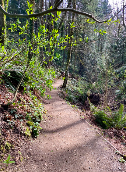
The forested trail that wanders through the park is a perfect dose of nature. Photo by Holly Miller.
Though short, this neighborhood park makes for a great destination when you just need that little bit of greenery in your life. Take in the forested surroundings and views of Puget Sound as you wander through a quiet ravine. Wanting a bit more mileage? You can pair it with a walk through the nearby West Bay Park, too!
> Plan your visit to the Garfield Nature Trail using WTA's Hiking Guide
LBA Park
Closest City: Olympia
Length: 4.0 miles of trails
Public Transit: Yes
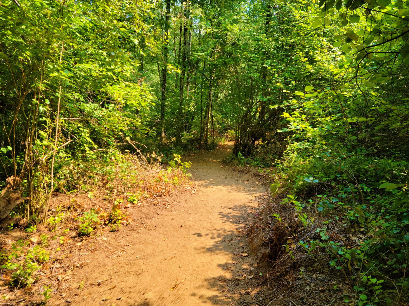
There are plenty of trails like this to wander at LBA Park. Photo by Andrew JK.
Don't let the name fool you! LBA Park, named after the Little Baseball Association, has much more to offer than only the baseball field of its namesake. Four miles of trails wander the woods that are neatly maintained and offer wide, smooth surfaces with little elevation gain, meaning it's great for families of all kinds to take in a bit of nature. It's also possible to navigate them with strollers! This is a perfect park for picnics, and there's also a playground for kids who want a bit more exercise.


