Where is WTA When Summer Starts? Staffers Share Their Favorite Hikes
June and July are exciting months for many hikers — the snow has melted out enough to head out to some previously out-of-reach destinations, wildflowers are blooming and blue skies mean great views. And "many hikers" definitely includes WTA's staff.
Check out some of the recommendations WTA staff past and present have as spring ends and summer starts — we're excited to see you on trail!
Ingalls Creek
Location: Central Cascades > Blewett Pass
Length: 14.4 miles, one-way
Elevation gain: 1,450 feet

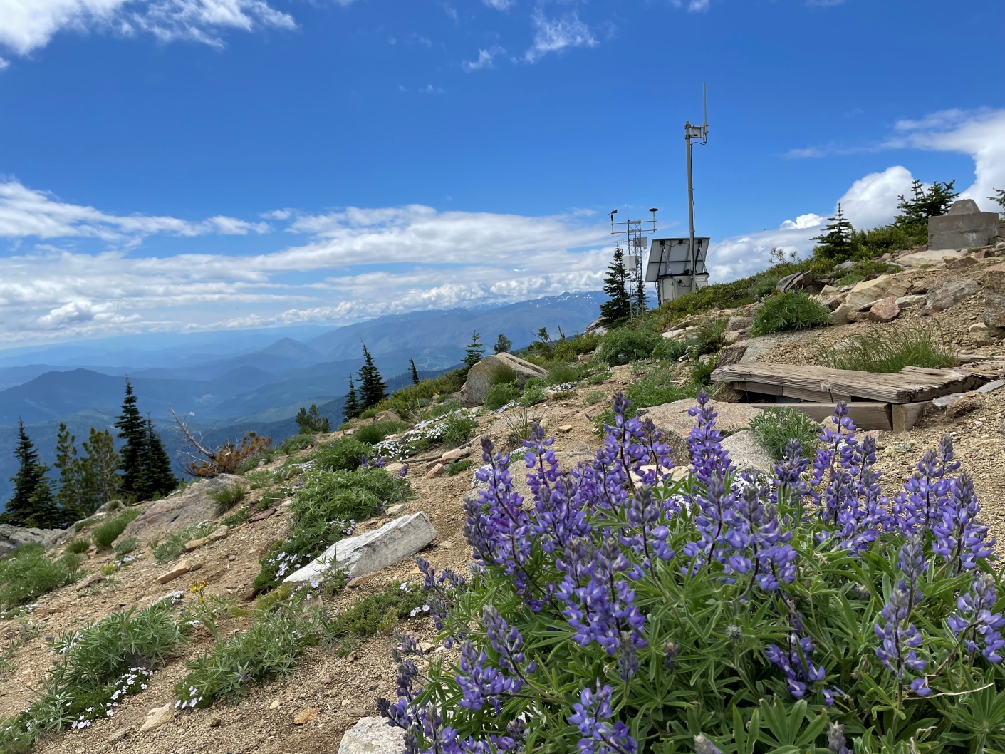
Expect to see paintbrush, lupine, trillium and butterflies in June. Photo by Mountain Paintbrush.
Laura Norsen, development database coordinator, loves Ingalls Creek as an early-season overnight. "In June, you can usually get several miles in before you hit snow, and the wildflowers are phenomenal," she said. "Plus sleeping next to the rushing water is so soothing!"
> Plan your trip to Ingalls Creek using WTA's Hiking Guide
Lyle Cherry Orchard
Location: Southwest Washington > Columbia River Gorge - WA
Length: 6.5 miles of trails
Elevation gain: 1,050 feet

Bring some sunglasses and sunscreen for your hike. Photo by ZhuckYu.
Joe Olbrych, Puget Sound field manager, thinks Lyle Cherry Orchard is a great hike, especially as Ryan Ojerio, WTA's southwest regional manager, laid out much of the trail here. "It’s got great views of the gorge, pretty flowers and lots of variety in scenery in a relatively short loop," he said. WTA has spent a lot of time working here over the last several years — we might be biased, but we really do think it's a spectacular hike.
> Plan your visit to Lyle Cherry Orchard using WTA's Hiking Guide
bILLY fRANK jR. nISQUALLY nATIONAL wILDLIFE rEFUGE
Location: Puget Sound & Islands > Seattle-Tacoma area
Length: 5 miles, roundtrip
Elevation gain: 10 feet

Birdwatchers will be delighted by all the wildlife on this hike. Photo by lpick120.
MJ Sampang, WTA's community partnerships and leadership development coordinator, likes taking in the wildlife at this refuge. "I really enjoy birding and walks at Billy Frank’s Nisqually Refuge because the marsh reminds me of all things that are hidden and important to the estuaries. I’m a huge marsh girl," she said.
> Plan your visit to Billy Frank Jr. Nisqually National Wildlife Refuge using WTA's Hiking Guide
Dirty Face Lookout and Peak
Location: Central Cascades > Stevens Pass - East
Length: 9 miles, roundtrip
Elevation gain: 3,950 feet

Big views with big bunches of wildflowers. Photo by ShadowDad.
Claire Thompson, a former Central and Eastern Washington regional manager, says the Dirty Face Trail is a great way to prepare for big hikes later in the summertime. "It's a good early-season training hike (plenty of switchbacks!), and it accesses great views for being that early in the season," she said. Another reason to take this hike early in the summer — it's very exposed so it's not quite as fun when it gets too hot.
> Plan your trip to Dirty Face Lookout and Peak using WTA's Hiking Guide
Silver Star Mountain or Silver Shadow Loop
Location: Southwest Washington > Lewis River region
Length: 6.4 miles, roundtrip
Elevation gain: 1,990 feet

Wildflowers galore in July! Photo by chopinatruby.
Corinne Handelman, major gifts officer, goes to Silver Star Mountain for pops of early summer color. Of the trail, she said, "Awash with wildflowers and clear views to SO MANY volcanoes on a clear day!" WTA has done maintenance work on Ed's Trail in the past (and quite recently as well) — we love to work among the wildflowers. If the road to Silver Star is too rough or closed, check out the Silver Shadow Loop for a similar experience nearby.
> Plan your trip to Silver Star Mountain using WTA's Hiking Guide
> Plan your trip to Silver Shadow Loop using WTA's Hiking Guide
Iron Bear - Teanaway ridge
Location: Central Cascades > Blewett Pass
Length: 6.5 miles, roundtrip
Elevation gain: 1,900 feet

Views of the Enchantments will enchant you on this trail. Photo by ZhuckYu.
Lezlie Cox, office manager, likes that the Iron Bear - Teanaway Ridge hike is great for beginners and more experienced hikers alike, and provides beautiful views of Mount Rainier and Mount Stuart. "Iron Bear goes from ordinary to extraordinary — bountiful views and spring flowers," she said.
> Plan your trip to Iron Bear - Teanaway Ridge using WTA's Hiking Guide
Pete Lake
Location: Snoqualmie Region > Salmon La Sac/Teanaway
Length: 9 miles, roundtrip
Elevation gain: 400 feet

Now is the time when lakes start melting out! Photo by cajunauzzie.
Joe Gonzalez, digital content coordinator, likes that the Pete Lake trail has an early-season venture into the Alpine Lakes Wilderness. "Relatively approachable, even if it's still snowy in mid-June or late May. If it's particularly thawed out, it's nice to push toward Spectacle Lake (via the Pacific Crest Trail)," he said.
> Plan your trip to Pete Lake using WTA's Hiking Guide
Manastash Ridge - Westberg Trail
Location: Central Washington > Yakima
Length: 4 miles, roundtrip
Elevation gain: 1,800 feet

Colors abound on this trail when the wildflowers are out. Photo by Maddy.
Madison Anderson, a former Central Washington outreach coordinator, likes how close the Westberg Trail is to the highway. Just a short drive out of Ellensberg, the Westberg Trail pushes hikers hard with its relentless climb, but the payoff is also huge. "Close to town, lingering wildflowers, big sky views of Kittitas Valley and a big sense of accomplishment at the top!"
> Plan your hike on the Westberg Trail using WTA's Hiking Guide
Mica Peak Conservation area
Location: Eastern Washington > Spokane area/Coeur d'Alene
Length: 45 miles of trails
Elevation gain: 2,000 feet

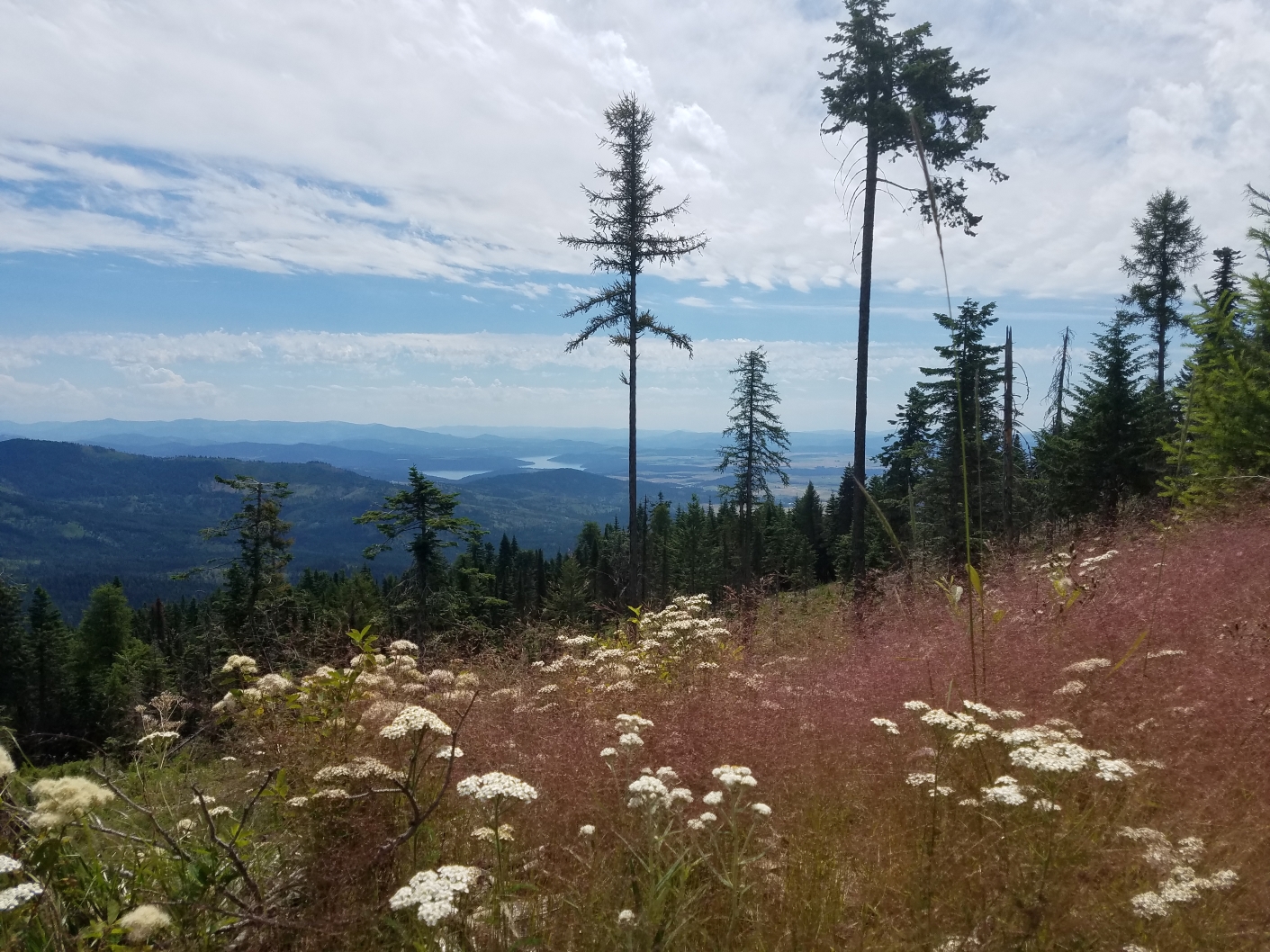
You'll get wildflowers and views of Spokane Valley hiking around here. Photo by snbess.
Holly Weiler, Eastern Washington regional coordinator, is a fan of the Mica Peak Conservation Area, which is just outside of Spokane and provides dozens of miles of trails for hikers to explore. "The wildflowers are fantastic and I've even found some early huckleberries up there in June!"
> Plan your trip to the Mica Peak Conservation Area using WTA's Hiking Guide
Peabody Creek Trail
Location: Olympic Peninsula > Northern Coast
Length: 5.6 miles, roundtrip
Elevation gain: 800 feet

This is just one among several fun log bridges you can cross on this trail. Photo by The Silent One.
Jessi Loerch, Washington Trails editor, likes how this close-to-home trail immerses you in the forest. "It starts at the Port Angeles ranger station and rolls up and down while gently climbing up along Peabody Creek. You can hear the creek the whole way, the birds are always great and it's very green. Lots of log bridges for those who are into that sort of thing," she said.
> Plan your hike on the Peabody Creek Trail using WTA's Hiking Guide
Washington Park Arboretum
Location: Puget Sound and Islands > Seattle-Tacoma area
Length: 5 miles, roundtrip
Elevation gain: 50 feet

The arboretum is the perfect place for a flower walk. Photo by Cailint.
Tiffany Chou, communications coordinator, is grateful for all the green spaces close to home. "I never tire of spending time in greenery and I love that the Washington Park Arboretum gives me that year-round. When the season is right and the flowers are out — that's my favorite time to go. The fact that it's just a short drive makes it even better," she said.
> Plan your visit to Washington Park Arboretum using WTA's Hiking Guide
Lake Sacajawea
Location: Southwest Washington > Long Beach area
Length: 3.5 miles, roundtrip
Elevation gain: 191 feet

This lake is great for an urban hike or a picnic — or both. Photo by LaraAshley.
Anna Roth, hiking content manager, likes to visit Lake Sacajawea, no matter the time of year. She said, "The lake is nice because it's a pretty substantive walk in the middle of Longview. There are gorgeous big oak trees and even a small grove of sequoias! It's really pretty in every season. Fall's my favorite, but June is nice because it's usually pretty sunny." One side of the lake has an interesting set of installations — informational stone plaques about our solar system — that you can check out while out hiking here.
> Plan your visit to Lake Sacajawea using WTA's Hiking Guide
Kukutali Preserve
Location: Puget Sound and Islands > Bellingham area
Length: 2.2 miles, roundtrip
Elevation gain: 200 feet

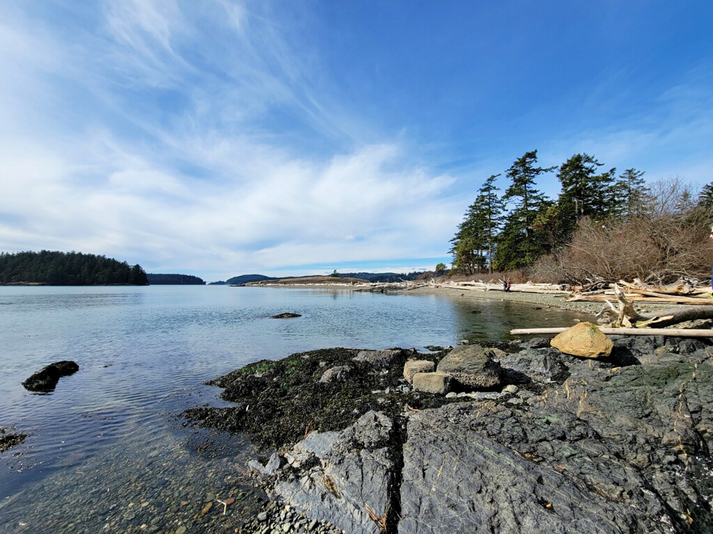
You can do some rock skipping and wildlife watching at this beach. Photo by kokay.
Erin McQuin, Outdoor Leadership Training manager, likes to visit the Kukutali Preserve to spend time at the shore. She said, "This is a beautiful beachy hike with lots of shorebirds. It's a shorter hike but there are several trails that you can choose from to extend or shorten your hike. On your way to Highway 20 from the Preserve, you pass the Lopez Island Creamery flagship, so lots of tasty treats nearby!"
> Plan your visit to the Kukutali Preserve using WTA's Hiking Guide
Sheep lake
Location: Mount Rainier > Chinook Pass - Highway 410
Length: 3.6 miles
Elevation gain: 400 feet
Timing: This trail will still be locked up in snow early summer, so later June or July are better.

Note: You might still encounter snow on your hike until early July. Photo by Brittster.
Michael DeCramer, policy and planning manager, is always excited when Sheep Lake becomes accessible after the winter season. "There is a special place in my heart for the hike from Chinook Pass to Sheep Lake. It is south facing so it tends to be one of the first mountain lakes on the PCT to melt out... It is a nice lake little lake AND, for me mentally, summer is partially defined by when I can access the PCT," he said.

