

From the lower parking area, you’ll notice a small sign pointing toward the Mirror Lake trailhead. Follow the wide, rocky dirt path approximately 0.3 mile to meet the trailhead for Mirror Lake. There is a small parking area adjacent to the trailhead that saves the extra 0.3-mile walk; however, it is strongly recommended that this not be attempted unless you have a jeep or other all-terrain vehicle.
The trailhead is on the left and marked with a wooden marker and a set of cairns. Keep your eye out for them as they can be easy to miss. Continue down the trail for 0.4 mile, where you will come across a small stream. Walk carefully across, as the rocks are slippery. In another 0.1 mile, consider taking a short detour on the spur trail to Cottonwood Lake. The lake — pond, really — is frequented by swimmers looking to beat the heat on a summer day.
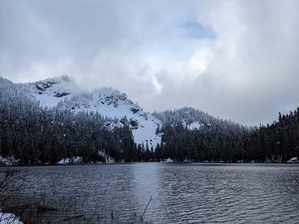
After a short but moderately strenuous additional 0.6 mile, you will reach the edges of Mirror Lake. There are campsites dotted all around the shores of the lake, as well as spots that are perfect for a picnic or relaxing in the sun.
Note: It is also possible to access Mirror Lake from the Pacific Crest Trail trailhead at Windy Pass. This allows for a gorgeous, 6-mile roundtrip ramble along the PCT through stunning old-growth and past imposing Silver Peak.
WTA Pro Tip: When you arrive at Mirror Lake, you will come to a junction between the Mirror Lake Trail and PCT. For those willing to put in just a little extra effort, head south (left) on the PCT following the path along the lake shore for another 0.3 mile. You will come across wonderful, unobstructed views of the lake and Silver Peak standing tall in the distance. And don’t forget to bring your bathing suit! This lake makes for a perfect swimming hole on a hot summer day.

 Trailhead


