

With wide open views at the top, Thorp Mountain is a worthwhile destination, even if the steep ascent to the peak might seem challenging.
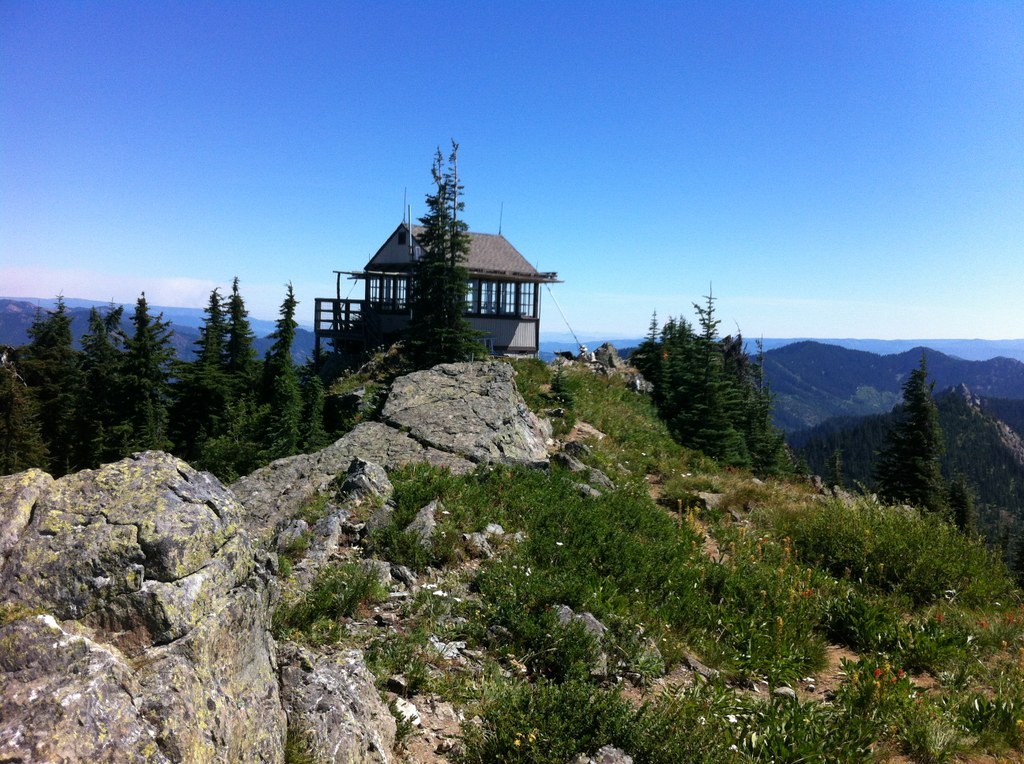
Though this trail starts with a climb, it lessens as you make your way through open meadow and old growth up the flanks of Thorp Mountain. At roughly half a mile from the the top, you'll find the Thorp Mountain Trail that will take you to the peak, complete with a fire lookout, where views open up of the surrounding area.
Be aware that the final ascent to the top is steep, but the views are certainly worth it and the fire lookout provides a nice destination to rest. From the lookout you can continue on to the top of No Name Ridge, where the trail ends.
 Trailhead


