Backpacking trips on WTA-improved trails
Spending your backpacking trip climbing over fallen trees and fighting back brush is a drag. Luckily, WTA crews are coming to the rescue, clearing trails across Washington so you can enjoy smooth sailing on your next backpacking trip.
Our volunteer vacation and backcountry response teams (BCRT) head to the backcountry so they can spend their days fixing those trails that otherwise might not see maintenance. The following trails have been given special treatment by our volunteer crews, and make for great, early-summer backpacking adventures. As you hike, see if you can tell where our volunteers have leveled the tread, built steps or cut back brush.
Want to spend a few days or a week working for better trails in a beautiful backcountry place? Sign up for a volunteer vacation or backcountry response team to learn the ropes, and make a difference on the trail.
Central Cascades
Fish Creek
Location: Entiat Mountains/Lake Chelan
Mileage: 8.9 miles, one-way
Elevation gain: 5,650 feet
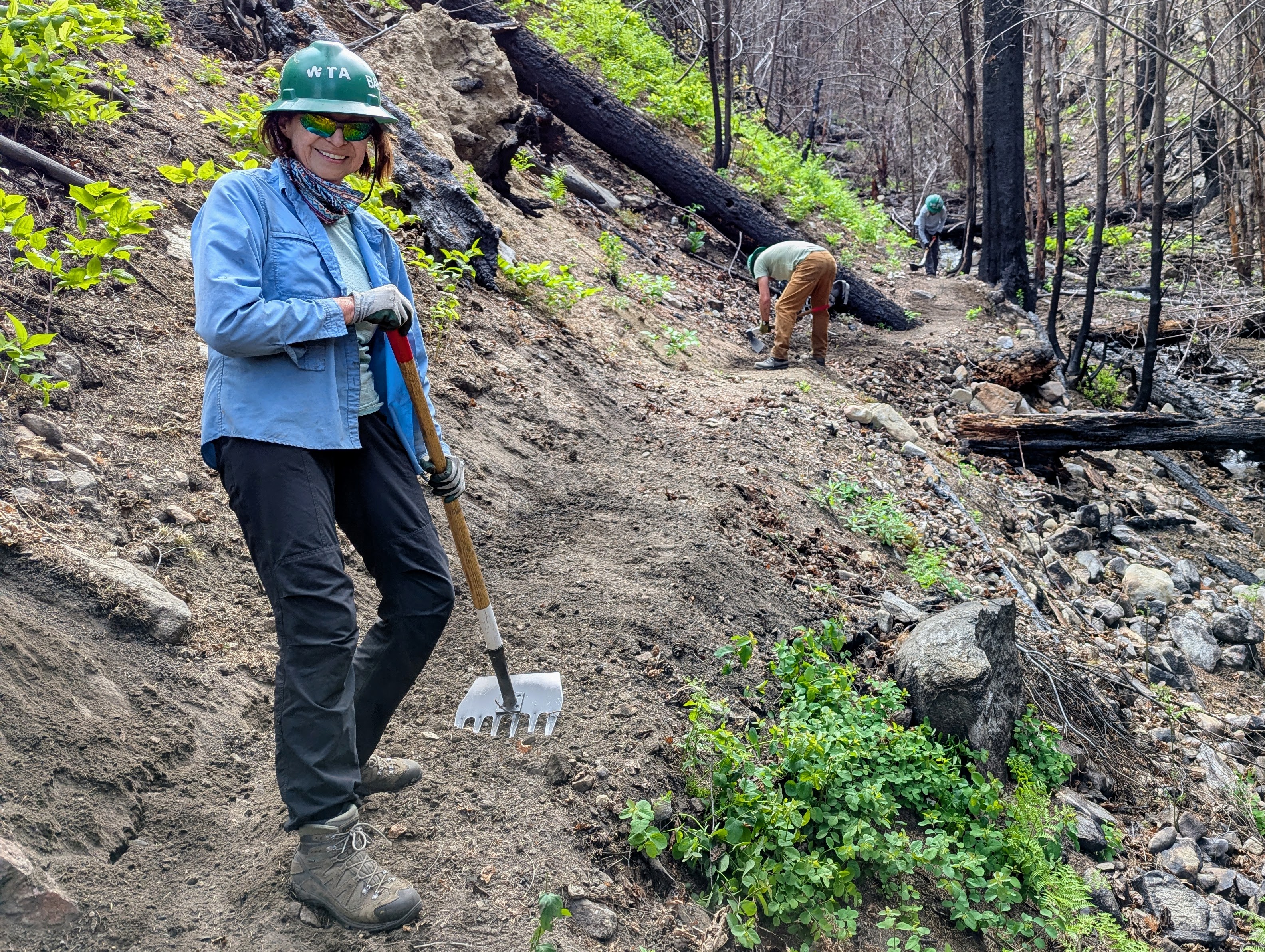
Repairing trails after a wildfire is hard work but with a mcleod and a smile on hand, WTA crews forged ahead to prepare this beautiful trail for hikers. Photo by Bob Zimmerman.
After the 2024 Pioneer Fire, WTA volunteers and staff were some of the first trail crews to arrive back at Fish Creek after the fires. From clearing debris and fallen trees to evening out the trail itself, crews worked hard early in the season to get this beloved trail ready for summer. Located beside the shores of Lake Chelan, this trail offers stunning views throughout your journey.
> Plan your visit to Fish Creek using WTA's Hiking Guide
East Fork Foss - Necklace Valley
Location: Stevens Pass - West
Mileage: 18 miles, roundtrip
Elevation gain: 3,400 feet
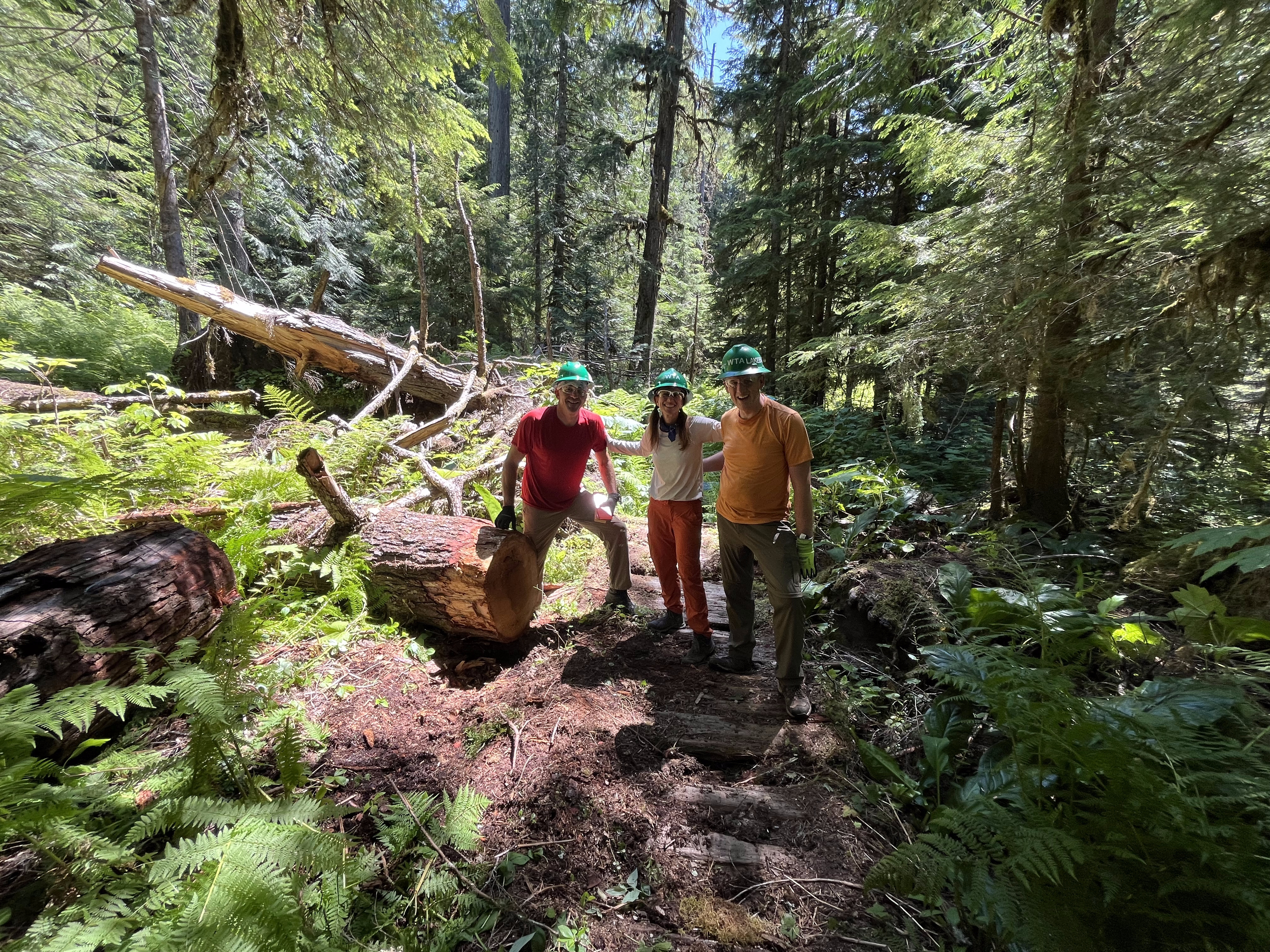
Volunteers take a break from work at a log they've been clearing at East Fork Foss - Necklace Valley. Photo by Joshua Orendorf.
If you’re seeking beautiful alpine lakes (appropriately named after actual gems), a trail that will get your heart pumping and wildflowers over the summer, East Fork Foss - Necklace Valley can give you all of that. Along the way, hikers have to navigate a potentially sketchy crossing of the East Fork Foss River, and WTA has previously worked on clearing obstructions on the crossing, as well as blowdowns on the trail.
WTA will continue work on the trail this summer, with backcountry work parties removing logs and debris from the trail to get ready for peak season.
> Plan your visit to East Fork Foss - Necklace Valley using WTA's Hiking Guide
North Cascades
Boulder River
Location: Mountain Loop Highway
Mileage: 8.6 miles, roundtrip
Elevation gain: 700 feet
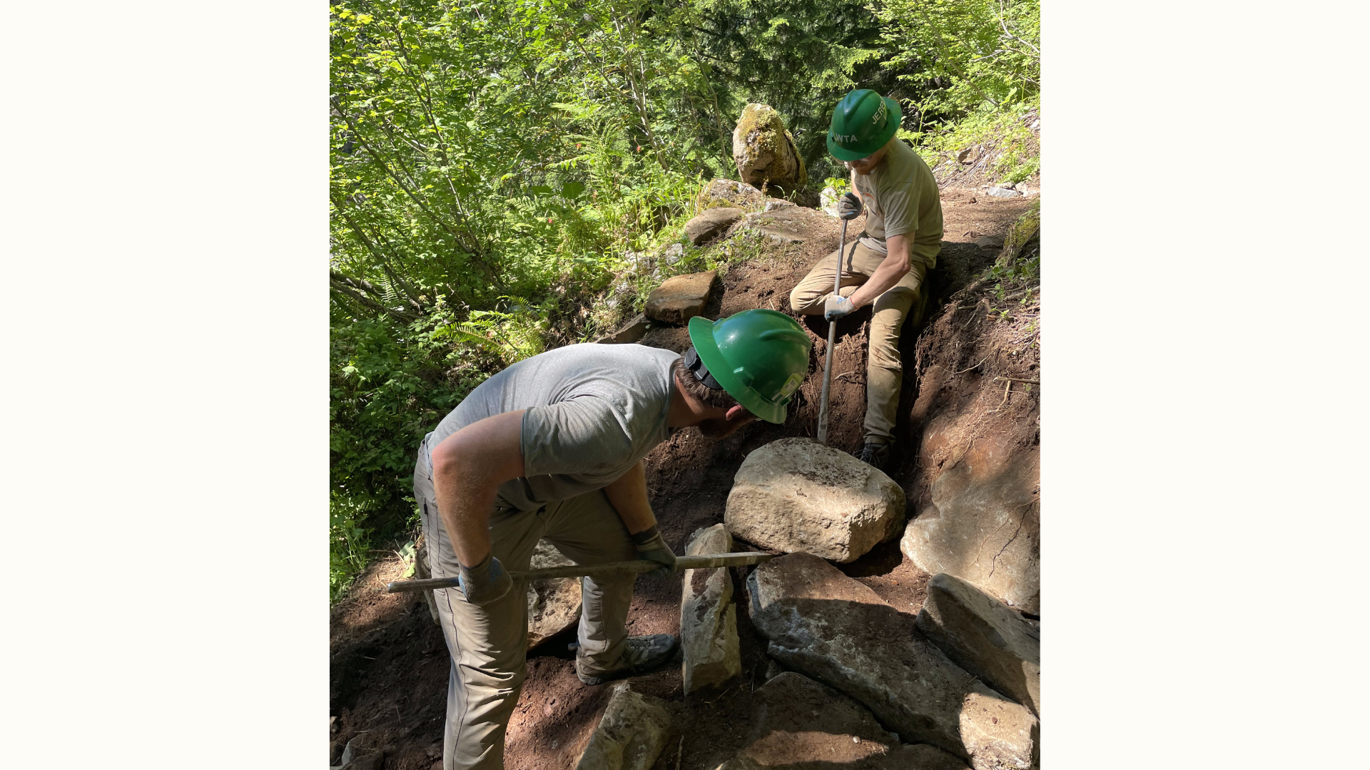
Lost Trails Found crew members working together to stairs at Boulder River. Photo by Michelle Mouw.
With relatively mild elevation gain along a rushing river and waterfalls along the way, Boulder River is popular with both hikers and backpackers. As such, WTA returns every year to make sure it’s ready for the summer traffic. The work includes log-outs and clearing debris, as well as setting rock steps in the trail. Crews have worked to repair the trail in places, with solutions like creating rock walls to support the trail.
> Plan your visit to Boulder River using WTA’s Hiking Guide
Snoqualmie Region
Middle fork Snoqualmie River
Location: North Bend Area
Mileage: 12 miles, roundtrip
Elevation gain: 1,650 feet
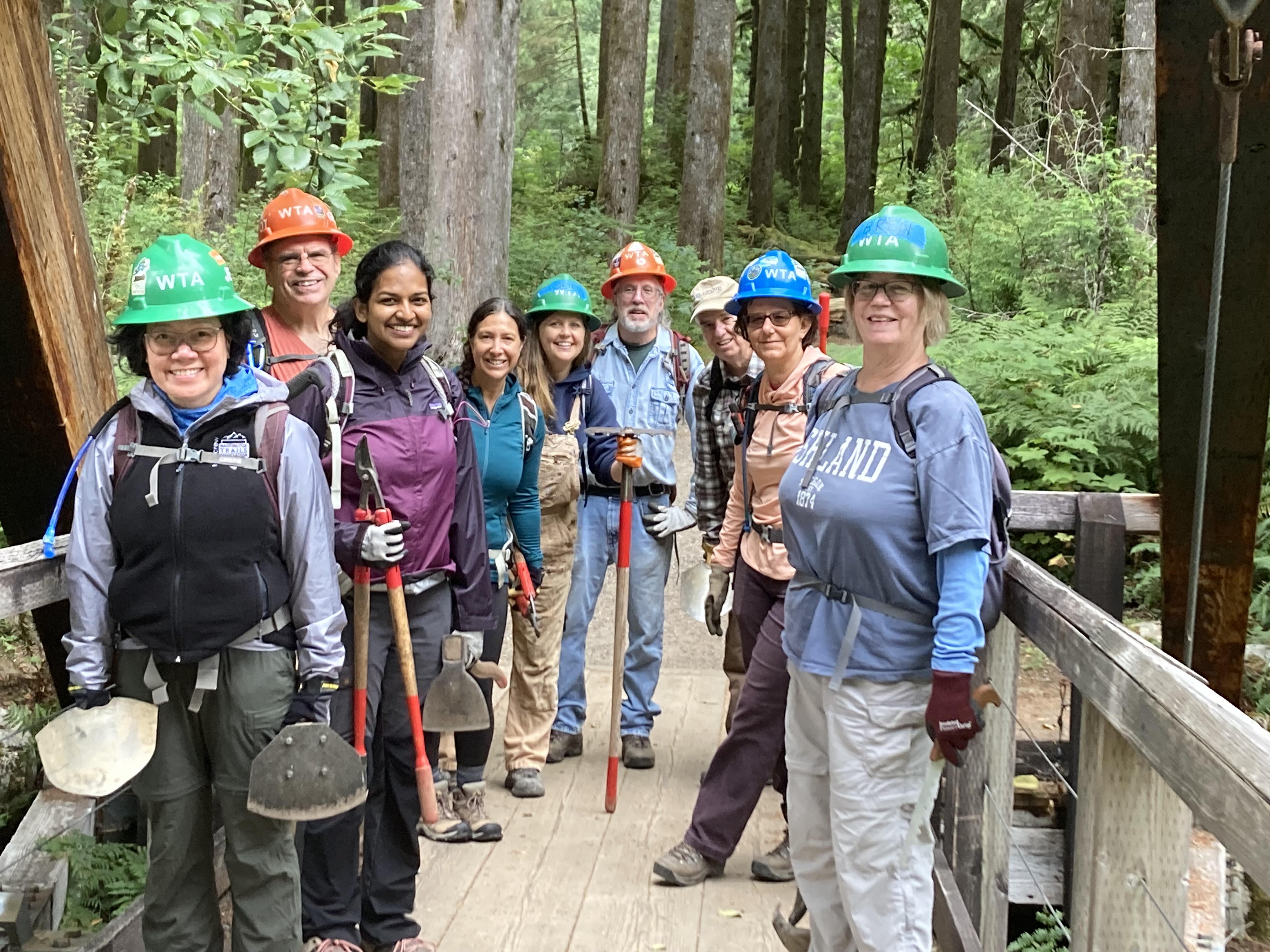
WTA staff and volunteers from the ambassadors program set out to repair trails at Middle Fork Snoqualmie. Photo by Nicole Masih-Théberge.
WTA goes to the Middle Fork Snoqualmie River regularly to make sure the popular trail is in great shape for hikers and backpackers. There are so many projects that take place here: removing obstacles from the trail, brushing, clearing drains, repairing and graveling tread, fixing up existing structures and building structures to level and repair the trail — including rock steps and retaining walls.
> Plan your visit to Middle Fork Snoqualmie River using WTA’s Hiking Guide
Pratt Lake Basin
Location: North Bend Area
Mileage: 11 miles, roundtrip
Elevation gain: 2,300 feet
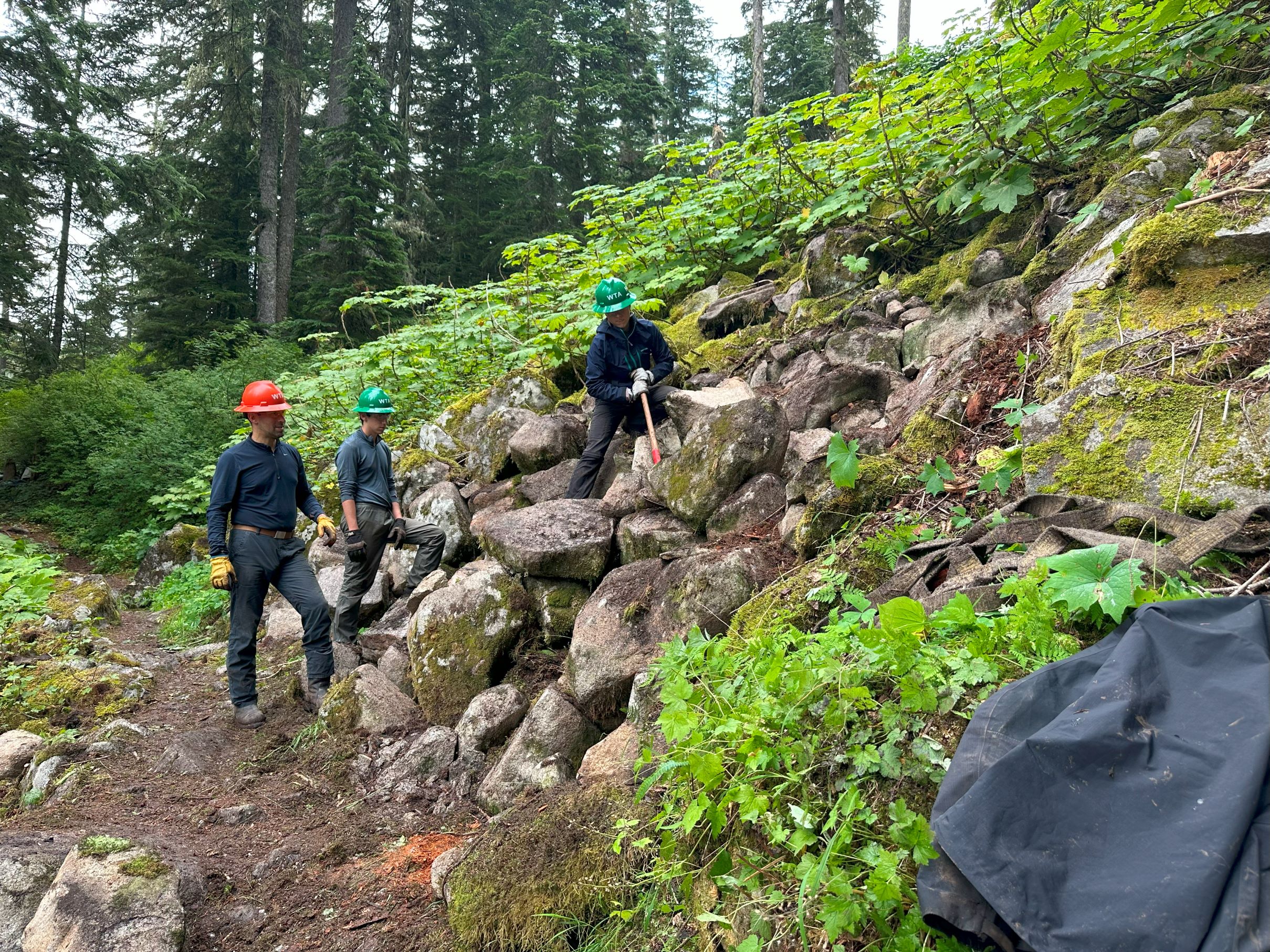
A crew of 10 spent 5 days in the North Bend area backcountry fixing up some trails, including the Pratt Lake Basin trail. Photo by Emily Snyder.
It's not surprising that this trail is popular — it's the same trailhead for a couple of different hikes and the lake is a beautiful place to have lunch or set up camp for the night. As such, WTA has been to the Pratt Lake Basin trail many times over the last decade to keep the trail shipshape. That work usually involves removing obstacles from the trail and retreading where necessary, as well as brushing and clearing drains. Since the trail gets a lot of use, some crews get more technical projects, like building rock steps to make a particularly steep trail segment easier to handle.
> Plan your visit to the Pratt Lake Basin using WTA's Hiking Guide
Hyas Lake
Location: North Bend Area
Mileage: 4 miles, roundtrip
Elevation gain: 100 feet

Some volunteer backcountry crews spend many long hours cutting and hauling logs to clear the trail, like here on the Hyas Lake trail. Photo by Lisa Black.
Hyas Lake is a relatively flat and short hike to a beautiful lake. Additionally, because many continue along the trail to Marmot Lake or Jade Lake, the trail to Hyas Lake is very well-trafficked, especially in summer once the snow has melted. WTA has worked to clear logs and debris and getting rid of loose rocks and roots to smooth out the trail so hikers can have a fun and safe experience. Our work also includes improving drainage, particularly around the time of snowmelt in the spring and early summer.
> Plan your visit to Hyas Lake using WTA’s Hiking Guide
Eastern Washington
North Fork Sullivan Creek and Halliday
Location: Selkirk Range
Mileage: 8.5 miles, one-way
Elevation gain: 2,300 feet
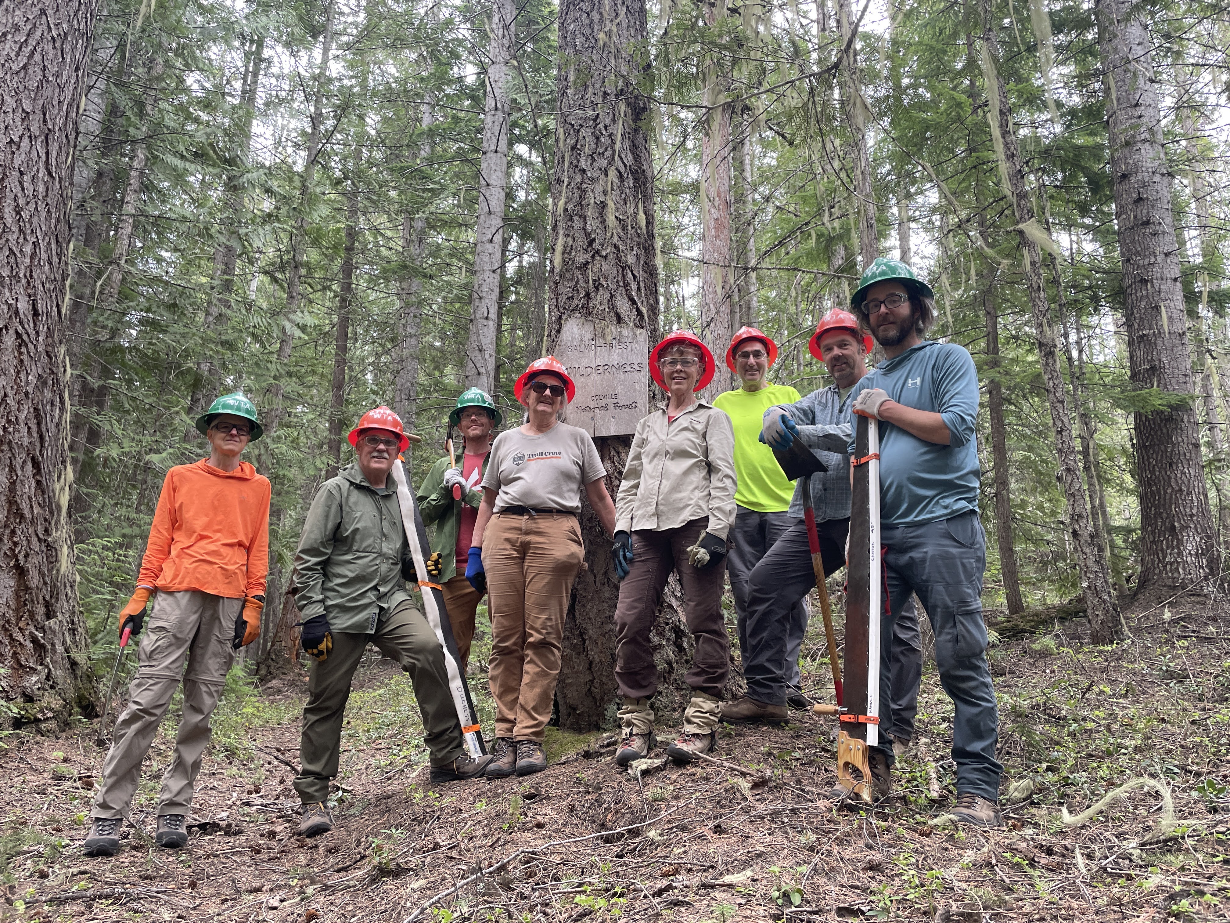
This backcountry response team has a lot to smile about after their hard work to restore a beautiful set of trails. Photo by Holly Weiler.
These beautiful pair of trails form a quiet thru-hike that provides wildflowers and mountain views in the northeast corner of Washington. Our crews have worked hard here to get the trail to proper trail standards by brushing, logging out fallen trees, restoring tread and fixing up existing and creating new drains.
> Plan your hike on North Fork Sullivan Creek using WTA’s Hiking Guide
> Plan your hike on Halliday using WTA's Hiking Guide
Olympic Peninsula
DUCKABUSH RIVER
Location: Hood Canal
Mileage: 10.6 miles (or longer)
Elevation gain: 2,300 feet
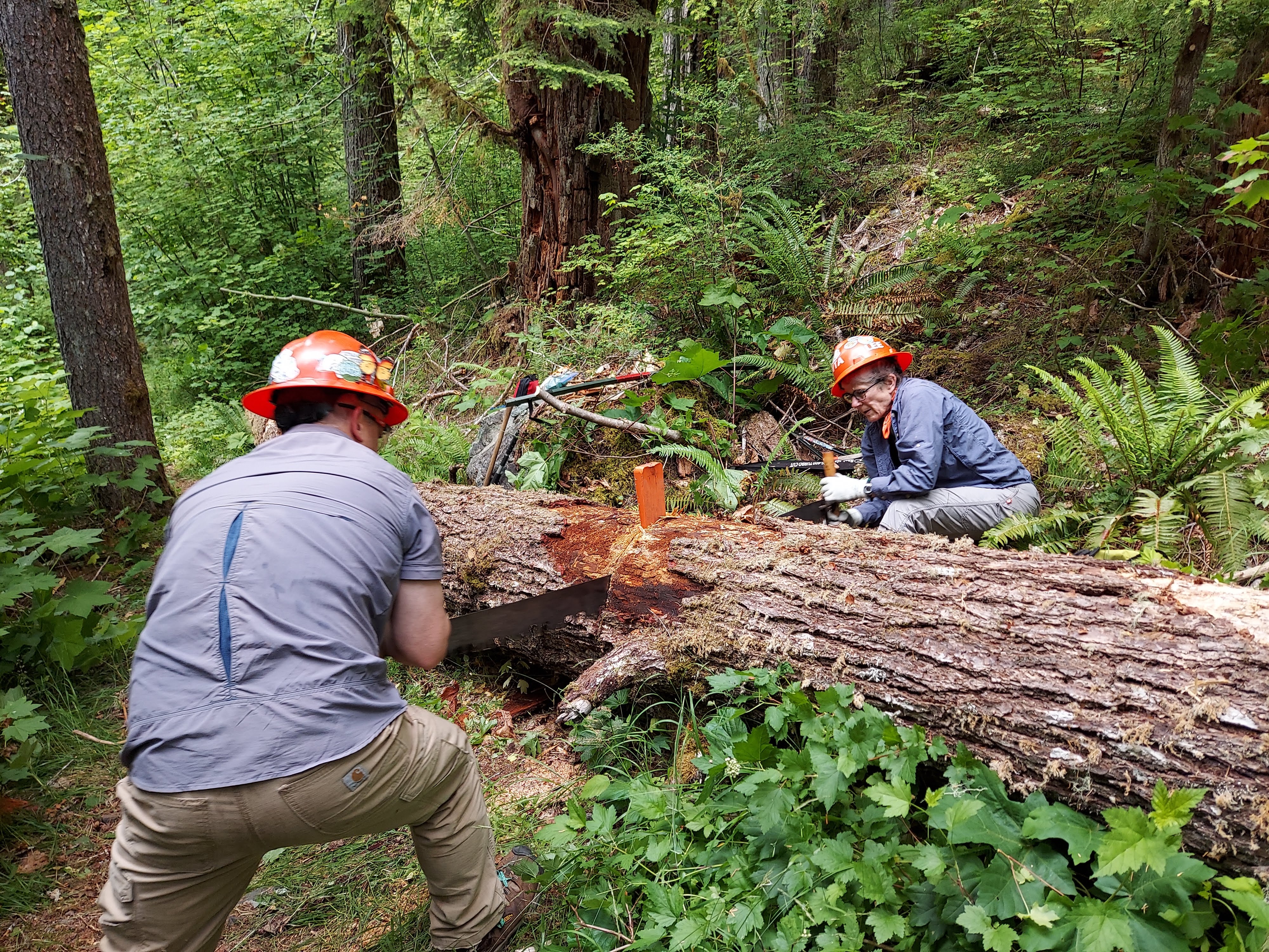
Crews use a crosscut saw to remove a fallen tree from the Duckabush trail. Photo by Max Gordon.
Another adopted trail, WTA has been working on the Duckabush for nearly 10 years, repairing damage from a 2011 wildfire that ravaged the trail. Burned trees still fall each winter, so each spring, we return to remove those trees and repair the tread. That means hikers can amble through old-growth groves, which muffle the thundering waters of the Duckabush River, on their way to the deep backcountry and lush forests that define this part of the peninsula. Learn more about our work on the Duckabush.
> Plan your trip to the Duckabush using WTA's Hiking Guide
Elk Lakes
Location: Hood Canal
Length: 4.9 miles, roundtrip
Elevation gain: 400 feet
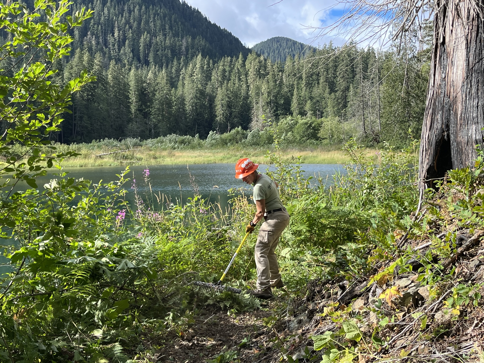
Trail work with a view at Elk Lakes. Photo by Patrick Sullivan.
This beautiful trail tucked in the Olympic mountains is a great trail for families looking for a lowkey but rewarding backpacking trip. As with many trails after a winter season, this trail needed some love. WTA has worked many seasons, clearing and maintaining the trails by removing logs from the trail, doing a bunch of brushing and a lot of repair work — both on the tread and existing trail structures, like rock walls and crib logs. Where it's needed, crew members build new supportive structures too.
> Plan your visit to Elk Lakes using WTA's Hiking Guide\
Upper Dungeness River
Location: Hood Canal
Mileage: 6.8 miles, roundtrip
Elevation gain: 3,100 feet
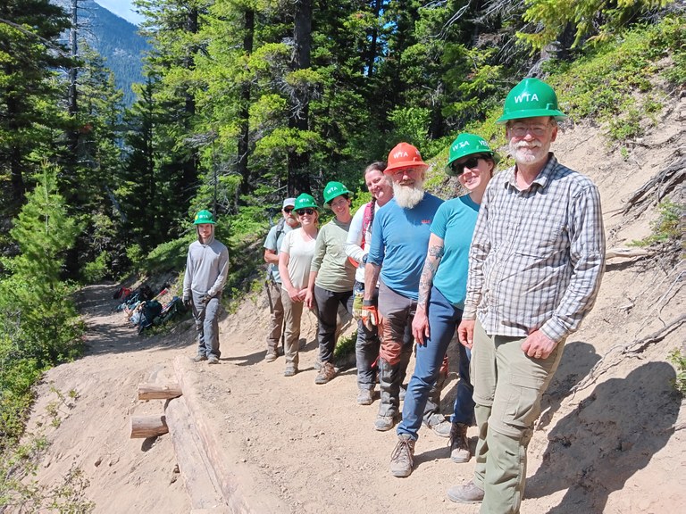
Our backcountry response team was hard at work repairing trails from recent slides and storms. Photo by Alan Carter Mortimer.
A perfect overnight for all ages. Don’t forget to keep an eye out for cool moss and fungi which thrive along the river. As the name indicates, you’ll hike beside the river for a good chunk of your journey and if you can’t see it, you’ll almost always be able to hear it. Trail crews are hard at work this summer repairing trails after recent mudslides, storms and general erosion.
UPPER GRAY WOLF RIVER
Location: Hood Canal
Mileage: 5 miles, roundtrip
Elevation gain: 400 feet

Some tasks are just too big for a single person, so it's great to have a team. On this all-women's BCRT at Upper Grey Wolf River, three volunteers work together to push this large log away using their feet. Photo by Dawn Rorvik.
This low-key Olympic Peninsula river amble makes for a serene day hike or a backpacking trip. But all that calm is the result of hard work by volunteers. WTA crews working in 2021 and 2022 cleared the trail from Deer Park down to Three Forks, on to Graywolf Camp, down to the park boundary, and up to the junction with Cedar Lake way trail. Now its ready for you to take a hike (on it)!
> Plan your hike on the Upper Gray Wolf River using WTA’s Hiking Guide
Lower South Fork Skokomish River
Location: Olympia
Mileage: 8.5 miles, roundtrip
Elevation gain: 800 feet

Crews work to build a rock ford which helps to create a more stable trail for hikers to enjoy. Photo by Patrick Sullivan.
Over the last year, WTA crews have returned to the Lower South Fork Skokomish River several times to help it bear the heavy usage it gets. Among the many projects our crews have worked on include: clearing hundreds of logs from miles of this trail and the three spurs along the way, fixing up and creating new drainage structures, repairing the tread, decommissioning social trails, realigning existing trail and building structures to strengthen the trail.
Several hikers have come across our volunteers working on the Lower South Fork Skokomish River trail, and we’re always happy to see hikers enjoying the trails we work hard to maintain.
> Plan your visit to Lower South Fork Skokomish River using WTA’s Hiking Guide
Mount Rainier Area
American Ridge
Location: Chinook Pass - Highway 410
Mileage: 12 miles, one-way
Elevation gain: 2,950 feet
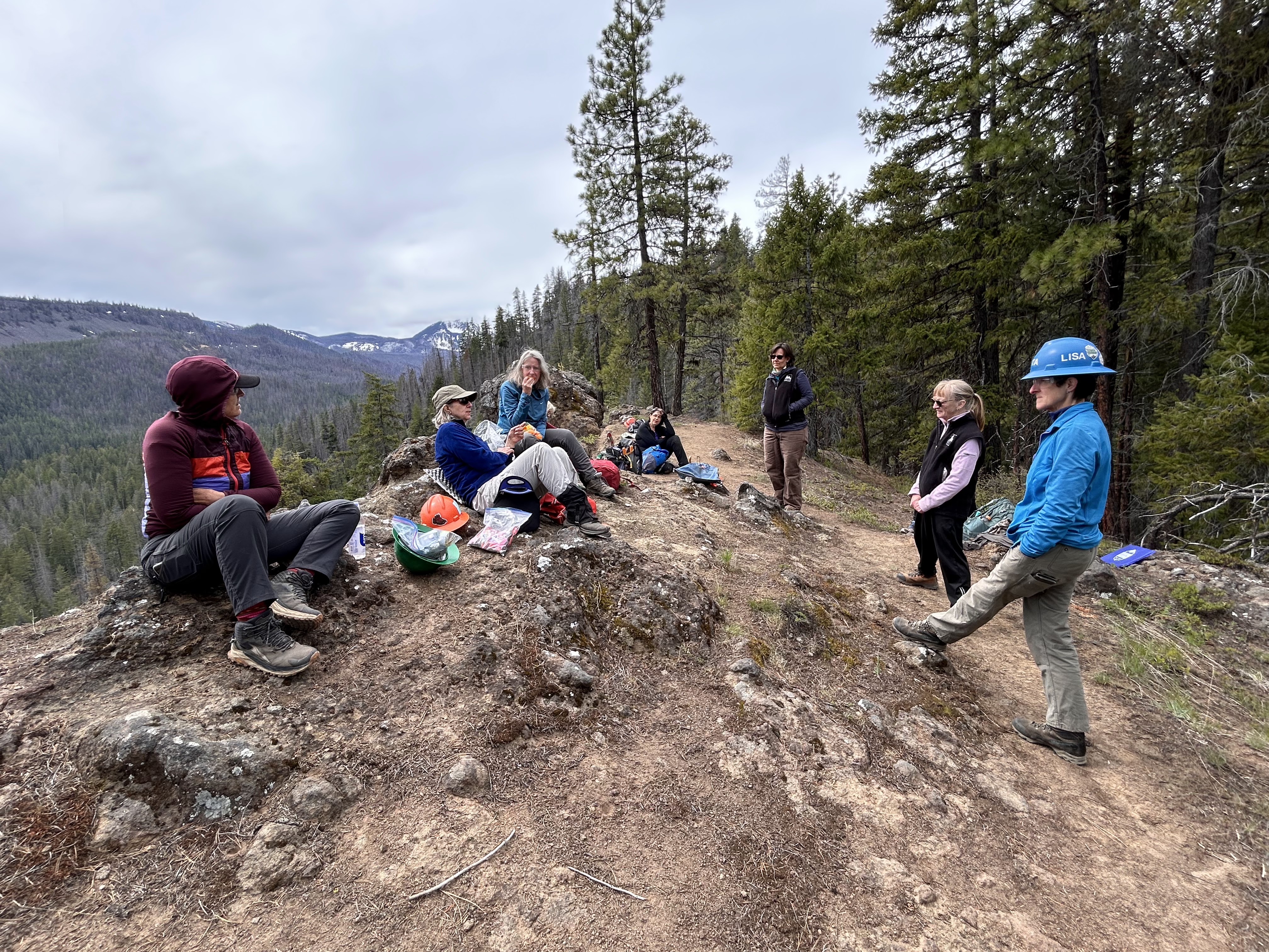
This year, WTA collaborated with Alpine Club and Purple Sage chapter of Backcountry Horsemen of Washington to restore trails at American Ridge. Here is the crew resting beside one of the many scenic views along the ridge. Photo by Shelley Kennedy.
To make sure this beautiful ridge hike stays usable for hikers and backpackers, WTA crews work hard to get fallen trees off the trail, and rehabilitate the trail where it has become less obvious due to overgrowth or tread damage.

