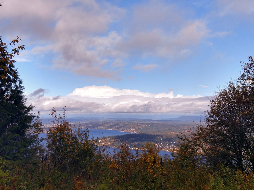
Started at the Harvey Manning trail on a Sunday morning. There were only a few cars parked, with plenty of spaces. I started by checking out the "Million Dollar View" which overlooks Lake Sammamish and isn't bad, but maybe not a Million Dollars worth of view.
I headed south on the Tibbets Marsh trail, eventually reaching Clay Pit Road. I swung around the Mine Shaft, which is pretty impressive looking, to the East Fork and Shy Bear Trails to Shy Bear Pass. A trail run was going on, and at Shy Bear Pass was an aid station. After happily sharing their snacks, they showed me the route map and assured me the runers were well spaced out. This turned out to be true, as the whole day, I encountered only a dozen or so runners, and no more than a dozen non-runners.
Then it was off down the Deciever Trail to Long View Peak and its viewpoint, which is a bit too overgrown with trees to be considered a viewpoint. On to Doughty Falls, which is pretty, if a mere trickle. This section of trail was occasionally steep and muddy.
Then I wound back along the Shy Bear Trail to Fred's RR, Bypass, Cougar Pass, and Harvey Manning trails. I took the Lost Beagle Trail to a junction that showed on the map, but wasn't clearly marked with a sign. It is a small trail passing through a fence, which heads over to a picnic area in the old radar station. The trail crosses a small road beside a picnic table, and isn't clearly marked, but just past the picnic table are some old concrete steps that lead down to Radar Park, where there was a bathroom here which was closed for the season.
This brought me back to the trailhead, which had only a porta-potty.
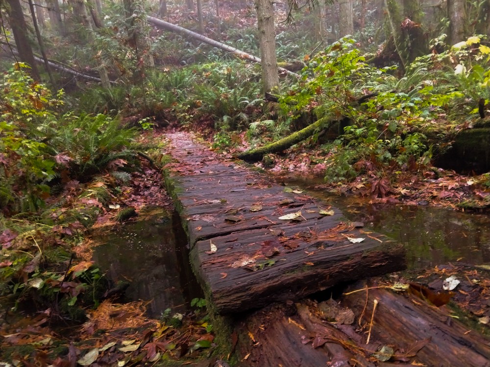
The leaves are more off the trees than on them, but haven't yet started to decay, so the trail has a lovely paving of golden brown maple leaves.
In total, I walked about 7 miles, with almost a thousand feet of up and down elevation gain.
Link to the track on Gaia
https://www.gaiagps.com/datasummary/track/c53eb2eaba2b9089ff0fa61e70493704e2fc36ea/


Comments