I did a big loop here yesterday -- 16.4 miles and 3242 feet of elevation gain by Gaia's count.
tl;dr version: Doable if you're ok with navigating snow, exposed sections of trail and up for a long day. Highlights - one zillion butterflies! Flowers! Views! Lowlights - Your feet will be sore. You have to climb over a bunch of snow at the top and Ed's Trail is basically falling off the hillside.
Narrative: I really enjoy Yacolt and Silver Star. It is cool to hike through both recovering forest on the Tarbell Trail and the freshly-replanted cut that the Silver Shadow Trail meanders through.
I'm not the biggest fan of road walks, but for the most part, there's always an option to take a trail instead of a road.
Conditions report in order of the trails hiked
Appaloosa Trail: In great shape. Maybe needs a little brushing towards the top, and I'm sure the horse riders would like some limbs trimmed higher than were a problem for me, but overall looking good!
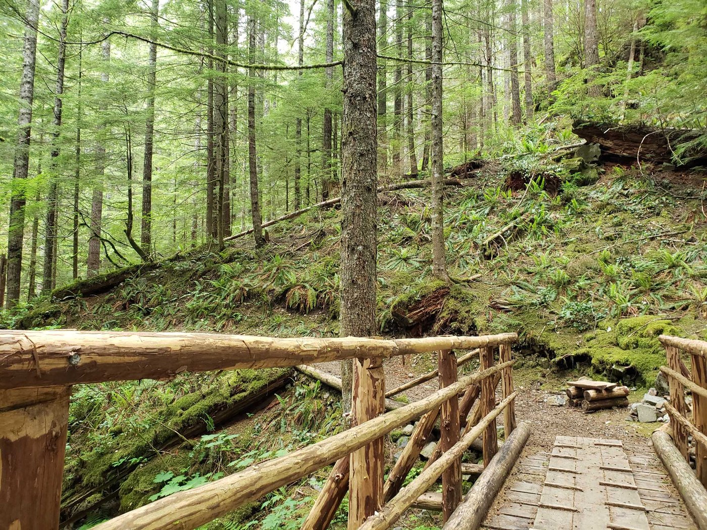
Tarbell (Hidden Falls to Sturgeon Rock turnoff): Also in great shape! Consistently, the Tarbell Trail was my favorite part of this loop. It has great trail bed and seems to get regular maintenance.
There was a small section about a mile from the Sturgeon Rock turnoff when it goes through a recent cut where it was a little narrow and eroded but nothing unmanageable.
Sturgeon Rock Trail: Gross. So steep, totally eroded, full of ankle-twisty rocks, steep, water running down the middle of the trail, former road bed, steep. Extremely bad.
It moderates briefly at the junction where you can get up onto Sturgeon Rock but shortly after that gets right back to steep, rocky nonsense. Also there are lots of trees down across it. The included photo is of the largest one, about a mile from the junction with the Silver Star Mountain trail. Big dislike on this one, but I had to do it to complete the loop.
Silver Star Trail: Meh, fine. Road bed with a fair amount of snow on it still, surprisingly. Wasn't awful, but I did wish I had my poles.
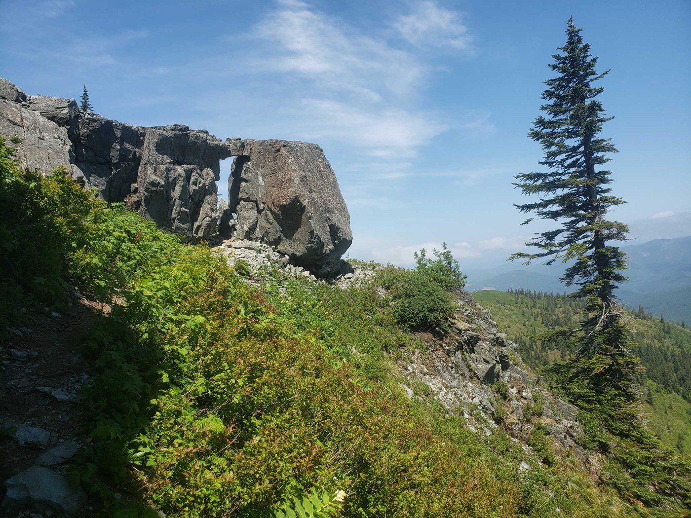
Ed's Trail: This trail needs some TLC asap. It has great views and for the most part is a fun little narrow trail on a ridge there's also a full-on scramble about a mile in. Yikes.
The rock climb to get to the view point is unavoidable, but just after that (before it, if you're coming from the Ed's Trail trailhead) the trail is basically falling off the hillside. Nothing a good benching crew couldn't fix in a few days. Flowers were less good than I had hoped here.
Chinook Trail: Long. Rocky. Nice views and LOTS of flowers. Good switchback options to avoid going straight down the roadbed. There's one switchback not on Gaia, and which I didn't follow but seems like it links up -- I wonder why its disused. My feet were tired by this point so I probably didn't appreciate it as much as I could have.
The forested section is really nice though, and much more forgiving to my feet than the open meadow section.
Tarbell (again): Gorgeous. Lovely rolly trail, beautiful big trees, creeks burbling, flowers, butterflies. No notes.
Silver Shadow: Nice little trail! It's a little exposed in sections (meandering through a timber sale does mean very little shade) but overall in good shape. I will note that in a couple areas on Silver Shadow it looks like horses have punched through the trail! Eek, I hope they (and their riders) were okay. I was also curious why that might happen -- wonder if it's linked to the (very old) burn that was here a while ago.
And that's it! Hopefully something in here is helpful to you -- get out there and enjoy it!


Comments