Escape the noise: Hike somewhere quiet this weekend
Sometimes you just need to get away from all the noise. While community and shared space with other people is a key part of a healthy life, human-generated noise can become overwhelming, especially if its sudden, unexpected bursts of noise, or broad-spectrum sound (like aircraft) that drowns out everything else. And in cases like that, you might just need to head for the hills.
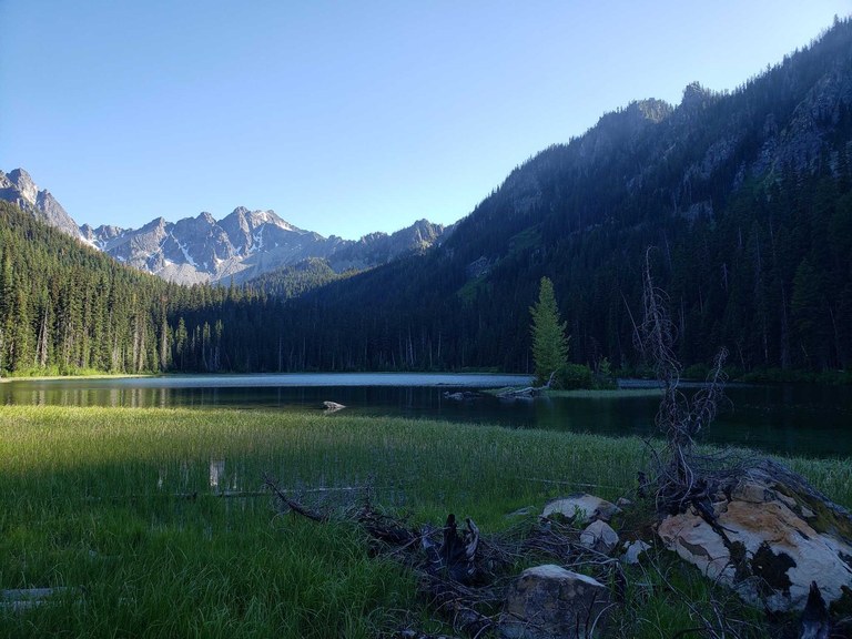
Too much going on in town? You better (head for the hills to) chill. Photo by trip reporter nwroth.
Birdsong, rivers or creeks and various other natural noises all contribute to relaxation. In fact, one study published in 2021 found that people exposed to natural sound saw a 184 percent improvement in overall health outcomes, offering evidence that "pleasant natural sounds can help lower blood pressure, improve cognitive performance and even reduce pain."
That's striking, but it's important to not oversimplify it. It's hard to isolate how much each element of nature contributes to mental health improvements — for example, how much does the smell of nature play into stress relief compared with looking at nature?
Studies also use homogenous test groups (like college students) so they aren't necessarily representative of everyone's preferences — some people may feel more comfortable in nature than others. One study found that stress slightly increased when people who weren't already in a stressed state heard natural noise instead of artificial noise.
However, if you are comfortable in nature and human-produced noise is stressing you out, getting into nature can relax you. Here are a few places we recommend you try to find quiet, as well as tips on how you can use WTA's Hiking Guide to find your own special spot.
Riverside
Siouxon Creek
Location: Southwest Washington — Lewis River region
Length: 13.8 miles, roundtrip
Elevation Gain: 635 feet

Siouxon Creek was in a fire in recent years, so not the entire trail is hikeable. Still, there's enough here to get the dose of shinrin-yoku you might need. Photo by trip reporter BeaverDawg.
This gently rolling creekside ramble is one continuous trail, but the trail does feel quite different from the trailhead to the end. A fire closed this trail for a while, but recent logout efforts by WTA crews and others have restored access. Despite the recent trail clearing, do be aware that in former burns, branches and trees may fall in windy conditions.
> Hike Siouxon Creek or save it for later in your My Backpack account
Baker River
Location: North Cascades — Mount Baker Area
Length: 5.2 miles, roundtrip
Elevation Gain: 300 feet

Baker River offers gorgeous views of the mountains peeping through lush forest. Photo by trip reporter tsuga.
This mellow walk along the Baker River wanders among large trees and huge mossy boulders, and despite its proximity to the popular Baker Lake area, this route winds up being fairly quiet. You may even get lucky and spot some wildlife, but give them plenty of space if you do!
> Hike Baker River or save it for later in your My Backpack account
Similkameen Trail
Location: Eastern Washington — Okanogan Highlands/Kettle River Range
Length: 4.0 miles, roundtrip
Elevation Gain: 40 feet
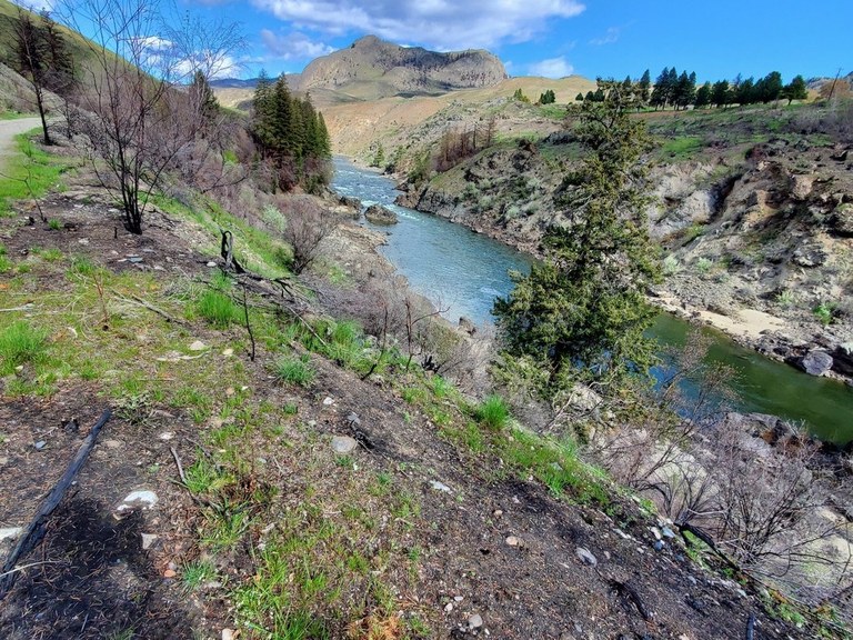
The lovely Similkameen Trail offers a riverside ramble under broad blue skies. Photo by trip reporter Tonya m Smith.
The Similkameen Trail is a jewel. A rail-to-trail conversion, this paved and graveled route offers visitors opportunities for biking, hiking, birding, wildlife sighting and wildflower spotting. It's on the far east side of the state and quite a ways from Spokane, so it's likely that — unless you brought a lot of folks with you — you'll have it to yourself when you visit.
> Hike the Similkameen Trail or save it for later in your My Backpack account
Birdsong
Bear Canyon
Location: Central Washington — Yakima area
Length: 6.4 miles, roundtrip
Elevation Gain: 1130 feet

The flat, graveled path of Bear Canyon is a great way to get outside anytime but in deep summer. On hot days, try visiting early or late in the day when it's less warm. Photo by trip reporter mytho-man.
Situated just outside of Yakima, quiet Bear Canyon's flat trail features steep-sided basalt cliffs along a shaded canyon that follows a stream. It's part of the Oak Creek Wildlife Area, so the odds of you seeing an animal are pretty good here. Just remember to respect their space.
> Hike Bear Canyon or save it for later in your My Backpack account
Green River
Location: South Cascades — Mount St. Helens
Length: 11.6 miles, roundtrip
Elevation Gain: 940 feet
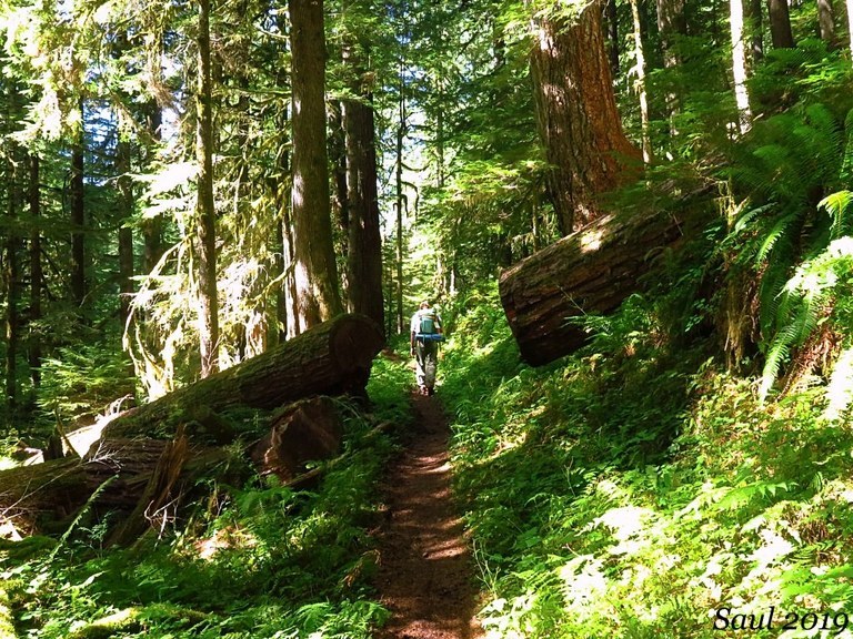
Hiking in the lush forests north of Mount St. Helens, you'd hardly know you're near an active volcano. Photo by Susan Saul.
Walk in the deep shade of towering, ancient Douglas firs and western redcedars and become humbled in the presence of these survivors of volcanic eruption. This trail has seen WTA and Back Country Horsemen of Washington trail maintenance in recent years, and the open trail is a lovely way to explore a lesser-seen side of Mount St. Helens.
> Hike Green River or save it for later in your My Backpack account
Lewis and Clark Trail State Park
Location: Eastern Washington — Palouse and Blue Mountains
Length: 0.8 miles, roundtrip
Elevation Gain: 10 feet
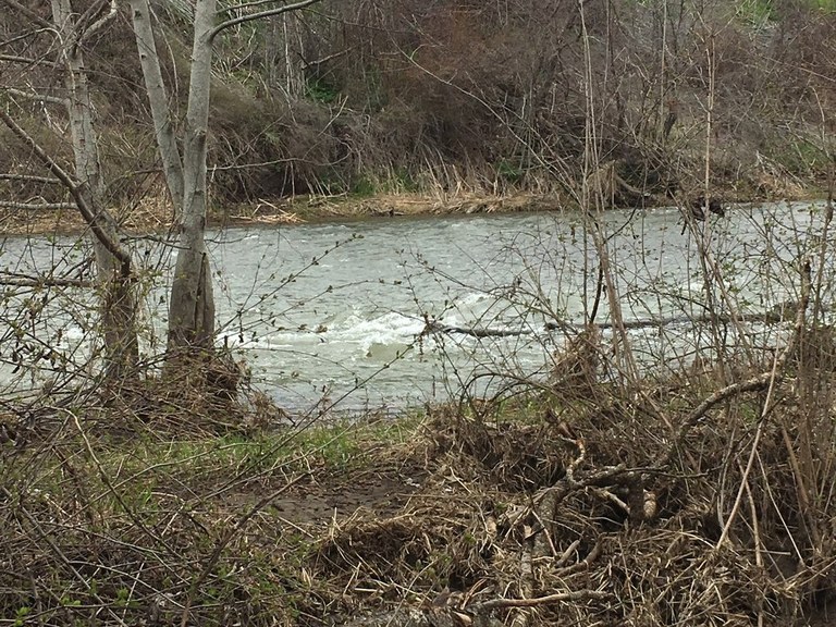
The flat hike at Lewis and Clark Trail State Park is a great place to take some time to yourself to catch your breath and be calm. Photo by Cheeriospank.
This short but lovely trail just outside Walla Walla is a sweet little ramble where if you're quiet, you're likely to hear plenty of birdsong. The state park has wonderful campsites, and so much brush and trees you're bound to hear birdsong along the way. And if you don't the nearby creek provides a relaxing melody all its own.
> Hike Lewis and Clark Trail State Park or save it for later in your My Backpack account
Go Backpacking
Polallie Ridge
Location: Snoqualmie Region — Salmon La Sac/Teanaway
Length: 8.0 miles, roundtrip
Elevation Gain: 3000 feet
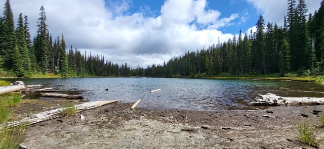
Diamond Lake makes a nice destination for a quiet weekend. Photo by Hiking Grandma ET
Somewhat adjacent to a popular weekend campground, Polallie Ridge seems like it might draw people to it. But the steepness and the length of this trail discourage lots of hikers. It won't be long before you're wheezing uphill solo. Head all the way to Diamond Lake, or just as far as you need to get your fill of solitude.
> Hike Polallie Ridge or save it for later in your My Backpack account
Crooked Creek
Location: Eastern Washington — Palouse and Blue Mountains
Length: 17.0 miles, one-way
Elevation Gain: 3800 feet

The nice new Wenaha River Bridge means hikers no longer have to do a dicey ford of Crooked Creek to start their hike! Photo by Holly Weiler.
The scenic Crooked Creek Trail is entirely within the Wenaha-Tucannon Wilderness and can be accessed via a handful of other trails to enable backpacking loops within the Blue Mountains. The Wenaha River Trail bridge just got replaced in spring 2024, so it's all ready for intrepid explorers to come check it out.
> Hike Crooked Creek or save it for later in your My Backpack account
Queets River
Location: Olympic Peninsula — Pacific Coast
Length: 22.0 miles, roundtrip
Elevation Gain: 600 feet

The fast-running Queets River is your first obstacle to accessing this trail. Photo by Wes Partch.
If you're willing to work for solitude, this is your hike. Beginning with a ford of the fast-moving Queets River (read: no bridge, you're getting wet), hikers will encounter an infrequently-maintained trail on the other side. However, because of that ford, this trail remains much less visited than other locations on the Peninsula. This makes for a good backpacking trip or a long day hike for rugged hikers. If you go, be sure to write a trip report — they're few and far between!
> Hike Queets River or save it for later in your My Backpack account
Little Beaver Creek
Location: North Cascades — North Cascades Highway - Hwy 20
Length: 35.0 miles, roundtrip
Elevation Gain: 6,213 feet

The Little Beaver Creek Trail is one of the furthest north in Washington; link it up with several other trails in North Cascades National Park for a really amazing few days. But be sure to get your permits! Photo by trip reporter ejvincent.
This backpacking trip is gorgeous but it takes a little planning. If you know that you need to get out of town on certain weekends in the summer, save this one for then. Start with a ferry ride on the Ross Lake Ferry to the trailhead (reservations required). From the landing, the trail ascends through a forest of cedar and fir, generally paralleling Little Beaver Creek. With some ups and downs, you will traverse through some brushy meadows and encounter a few water crossings along the way. Many people link this trail with others nearby to make epic loop hikes.
> Hike Little Beaver Creek or save it for later in your My Backpack account
Buck Creek Loop
Location: South Cascades — Mount Adams Area
Length: 8.0 miles, roundtrip
Elevation Gain: 4,100 feet
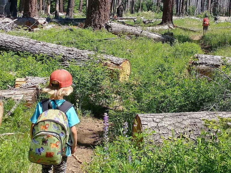
Buck Creek Loop is 8 miles long — burly for some kids, no problem for others! Photo by trip reporter hiking@daun.
Because it's fairly far away from almost all of Washington's largest population centers, the Mount Adams area is a nice place to set your sights if you're hoping to escape a loud summer weekend in the city. Plus, as trip reporter hiking@daun discovered, it's a kid-friendly loop as well!
> Hike Buck Creek Loop or save it for later in your My Backpack account
Find your own
If these don't do it for you, try finding a hike that works for you using our Hiking Guide and trip reports! Here are some tips to get you started.
Features Search
Since birdsong and water noises have been linked to positive mental health, use our features list to search for hikes with rivers, waterfalls, old-growth or fall foliage (trees = birds). You can also look for kid-friendly options, if you're bringing kids along.
Depending on how you feel about dogs, you may want to use our dog-friendly filter to find a trail you can bring your pup along, or if you're not a dog person, use the Dogs Not Allowed filter to find hikes where you're less likely to see them.
Keyword Search
Try searching trip reports for words like "quiet," "solitude" or "peace." Then read the report to be sure it's a trail you want to do. If it checks out, click through to the Hiking Guide for driving directions and to see what pass you need, or you can save it to your My Backpack for later.
Recency search
Use our filter for hikes without trip reports in the last 30-90 or 90+ days. This isn't a guarantee you won't see anyone, but these hikes are likely seeing less traffic than many popular locations. You may also want to filter for trip reports that people did as overnighters to give you an idea of where you might be able to camp!
Can't Get outside?
Several studies showing health improvements linked to nature sounds were conducted indoors, implying you don't have to actually be in nature to reap the benefits of natural noise. If you can't get outside but want to chill out, tune into a few soundscapes from various locations in Olympic National Park, check out soundtracker.com for short files or full albums of nature noises.
You also don't have to be outside for long, if you're not trying to escape a noisy weekend in town. Head to a familiar park for a few minutes early in the morning and take some deep breaths.

