Delightful with a Dusting: 9 Trails Worth a Winter Hike
There's nothing quite as magical as experiencing your favorite summer hikes when they're covered in a dusting of snow. Instead of spending the cold months dreaming of summer trips, make those trips a reality, in any season.
"Off-season" hiking is a great chance to see some of your beloved trails in a whole new light — and likely with fewer people. So, bundle up, grab a thermos and don't let the winter weather dampen your itch for adventure.
Pine and Cedar Lakes
Location: Bellingham Area
Mileage: 5.0 miles roundtrip
Elevation Gain: 1,400 feet
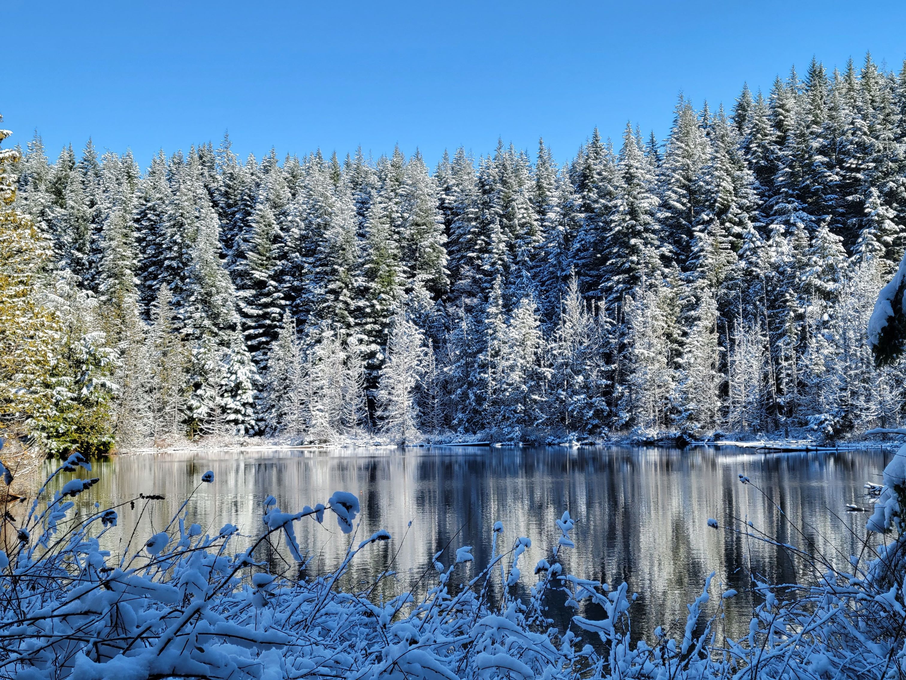 A perfect amount of snow blankets the shores at Pine and Cedar Lakes. Photo by bentley-edelman.
With two small lakes and numerous branching trails that sport views to Mount Baker and the Puget Sound, this moderate trail through shady forest can be hiked or backpacked year round. If you decide to head up in the 'off' season, you may be rewarded with an added layer of lovely on the surrounding trees.
> Plan your trip to Pine and Cedar Lakes using WTA's Hiking Guide
Heybrook ridge
Location: Central Cascades -- Stevens Pass
Mileage: 3.4 miles, roundtrip
Elevation Gain: 760 feet
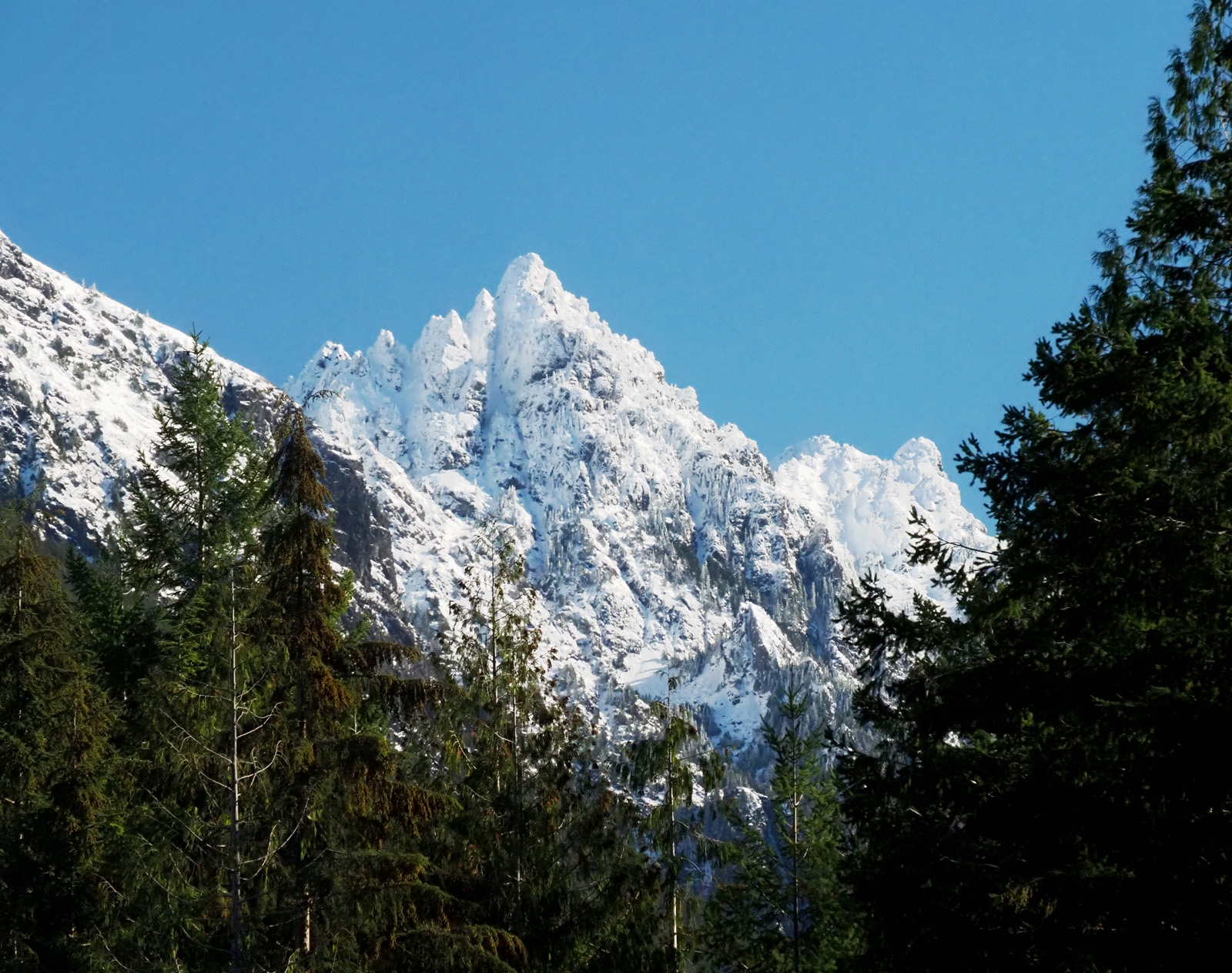 Snow-capped views from Heybrook Ridge. Photo by j brink.
The trailhead to Heybrook Ridge is at a low enough elevation that you may not be drudging through snow on most of the hike, but the mountain views at the top are even better with a fresh blanket of powder. An added bonus—the whole trail is less than three and a half miles and gains less than 800 feet of elevation, making this a great choice for the whole family.
> Plan your trip to Heybrook Ridge using WTA's Hiking Guide
Swauk Forest Discovery Trail
Location: Central Cascades -- Blewett Pass
Mileage: 3 miles, roundtrip
Elevation Gain: 500 feet
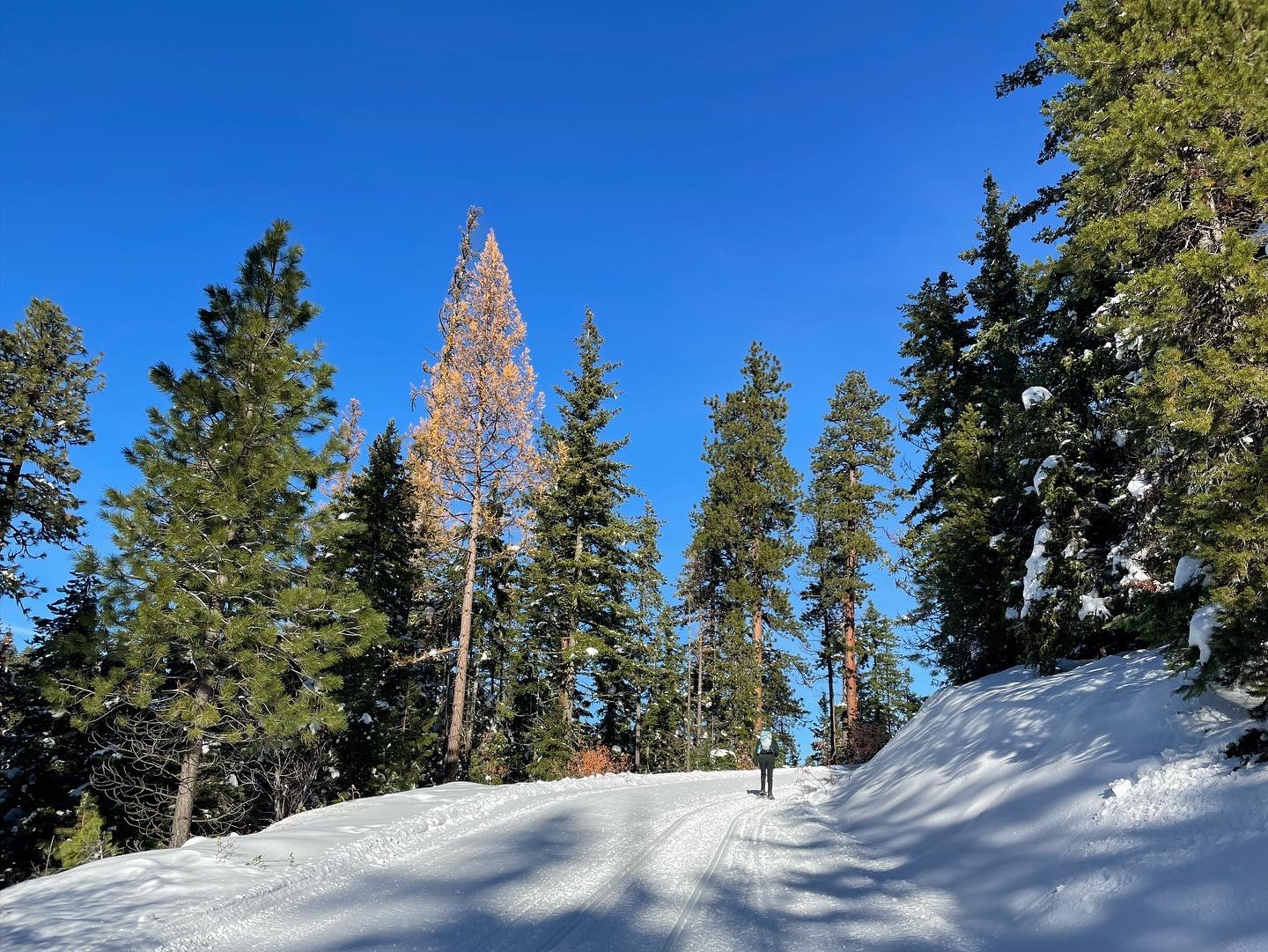
Hikers snowshoeing on the Swauk Forest Discovery Trail. Photo by Hiker Mama.
Slap on some snowshoes and explore the south side of Blewett Pass on this loop. You'll pass interpretive markers pointing out the various tree species in the area, including grand fir and western larch. It's not a bad idea to have a GPS tracker with you so you don't get off-track.
> Plan your trip on the Swauk Forest Discovery Trail using WTA's Hiking Guide
Obstruction Point Road Snowshoe
Location: Olympic Peninsula -- Northern Coast
Mileage: 3.4 miles, roundtrip
Elevation Gain: 100 feet
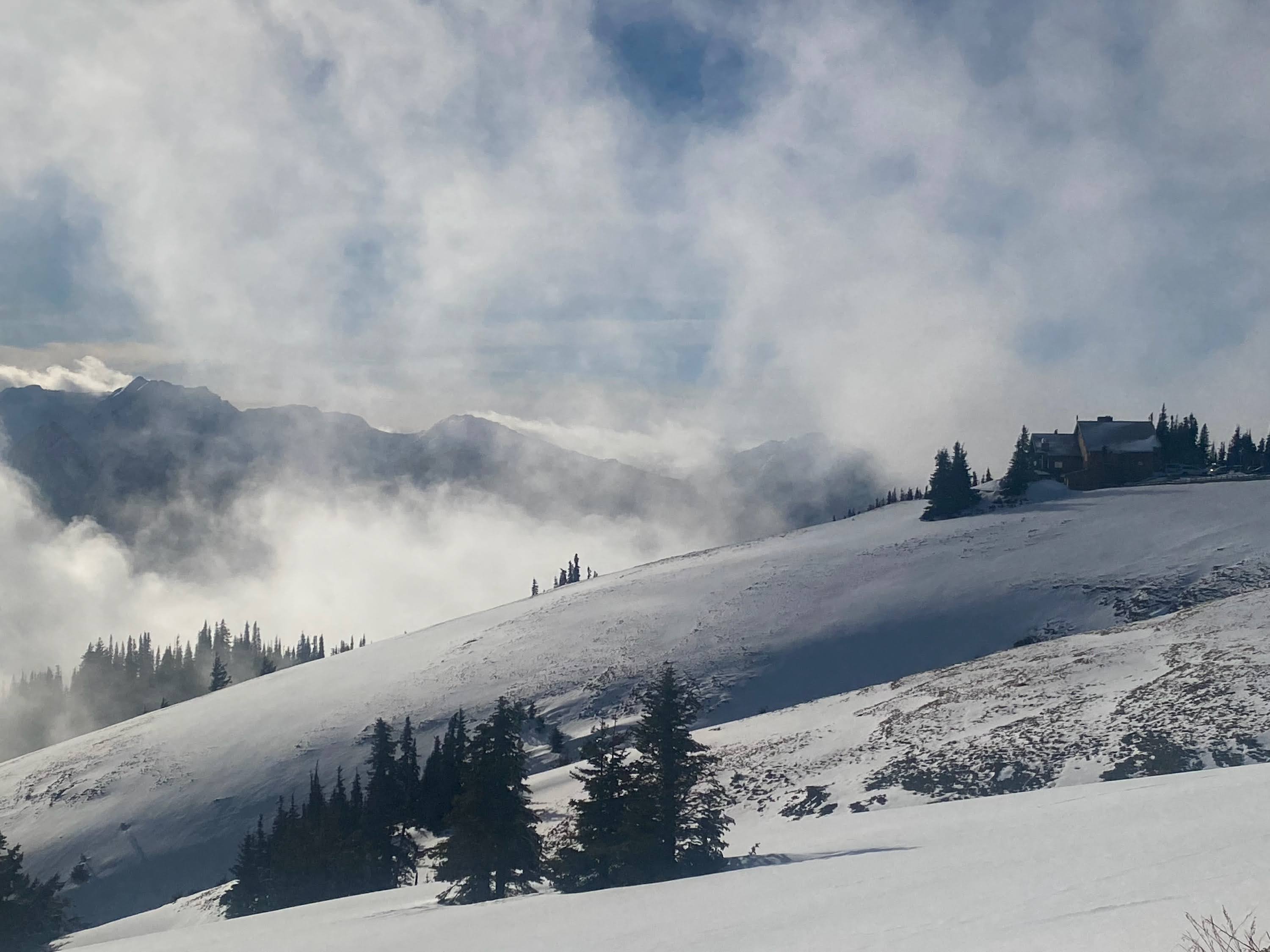
A foggy day on the mountain. Photo by Eric Katanaboy.
Hike up the closed-to-vehicles Obstruction Point Road near Hurricane Ridge in wintertime. This "trail" is a great alternative to many of the more well-known hikes that start at Hurricane Ridge. Register at the visitor's center, then backtrack down the road to a hairpin turn in the road to start your hike, avoiding the steep drop to the roadbed at the start of the road. Please note that Hurricane Ridge Road is only open Fridays through Sundays during the winter, weather permitting.
> Plan your trip on Obstruction Point Road using WTA's Hiking Guide
Fort Flagler State Park
Location: Olympic Peninsula -- Hood Canal
Mileage: 5.0 miles, roundtrip
Elevation Gain: 150 feet
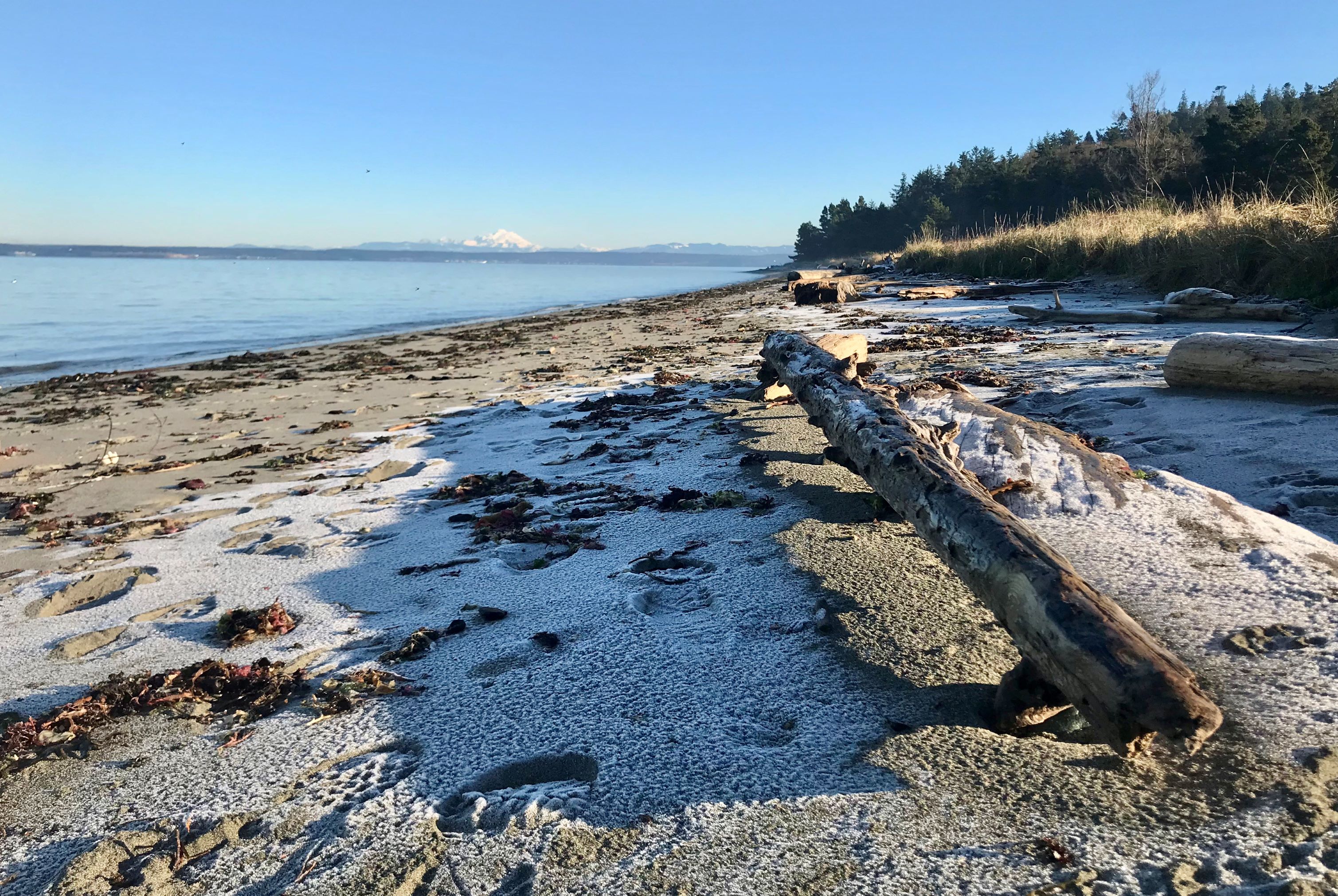
A light dusting of snow on the beach. Photo by austineats.
Fort Flagler State Park is one of five impressive military installations that were established in close proximity to protect Puget Sound from invaders during times of war. Although snow may be a rare sighting at Fort Flager, this beach walk is still pretty satisfying without it.
> Plan your trip to Fort Flagler State Park using WTA's Hiking Guide
Weldon Wagon Road
Location: Southwest Washington -- Columbia River Gorge - WA
Mileage: 5.4 miles, roundtrip
Elevation Gain: 1,290 feet

This lowland hike might be great if you're looking for something snow-free in winter. Photo by Susan Saul.
Oregon white oak woodlands with views of the White Salmon Valley make this a delightful hike that is off the beaten track. Snow can be rare along the Columbia River Gorge, but if you manage to visit on a snow day, you'll be treated to even more magical scenery.
> Plan your trip on Weldon Wagon Road using WTA's Hiking Guide
Tumwater Pipeline Trail
Location: Central Cascades -- Stevens Pass - East
Distance: 2.4 miles, roundtrip
Elevation Gain: 100 feet
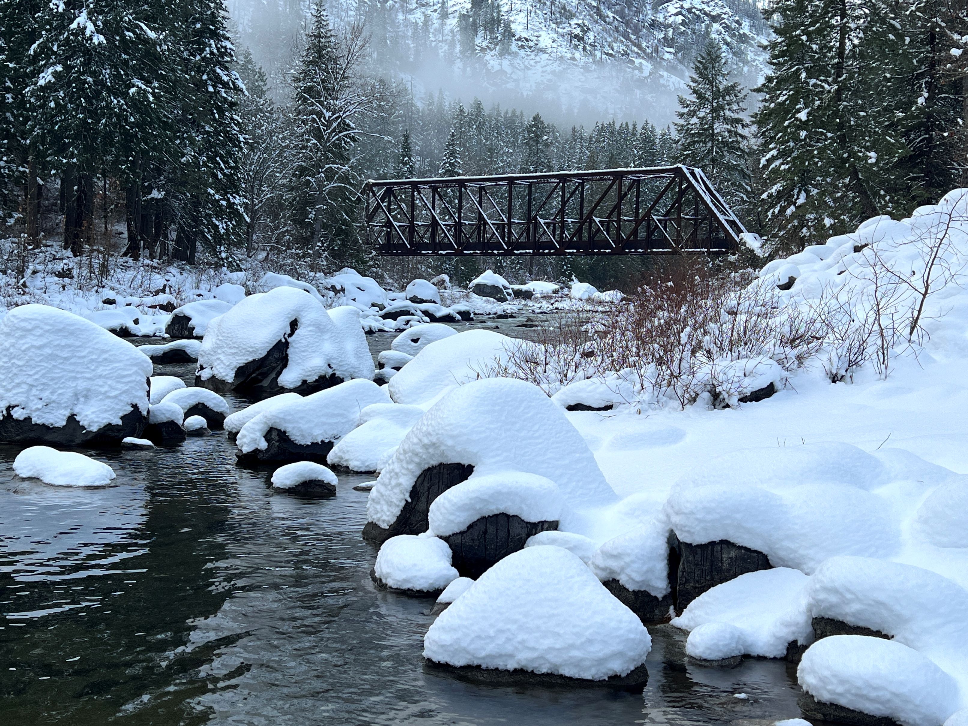
A thick layer of snow covers the trail near the bridge. Photo by joyoflandscapes.
This year-round hike near Leavenworth is particularly lovely when covered with a blanket of snow. The Tumwater Canyon Bridge over the Wenatchee River is a highlight of the hike.
> Plan your trip on the Tumwater Pipeline Trail using WTA's Hiking Guide
Badger Mountain - Canyon Trail
Location: Central Washington -- Tri-Cities
Mileage: 3.25 miles, roundtrip
Elevation Gain: 1,195 feet
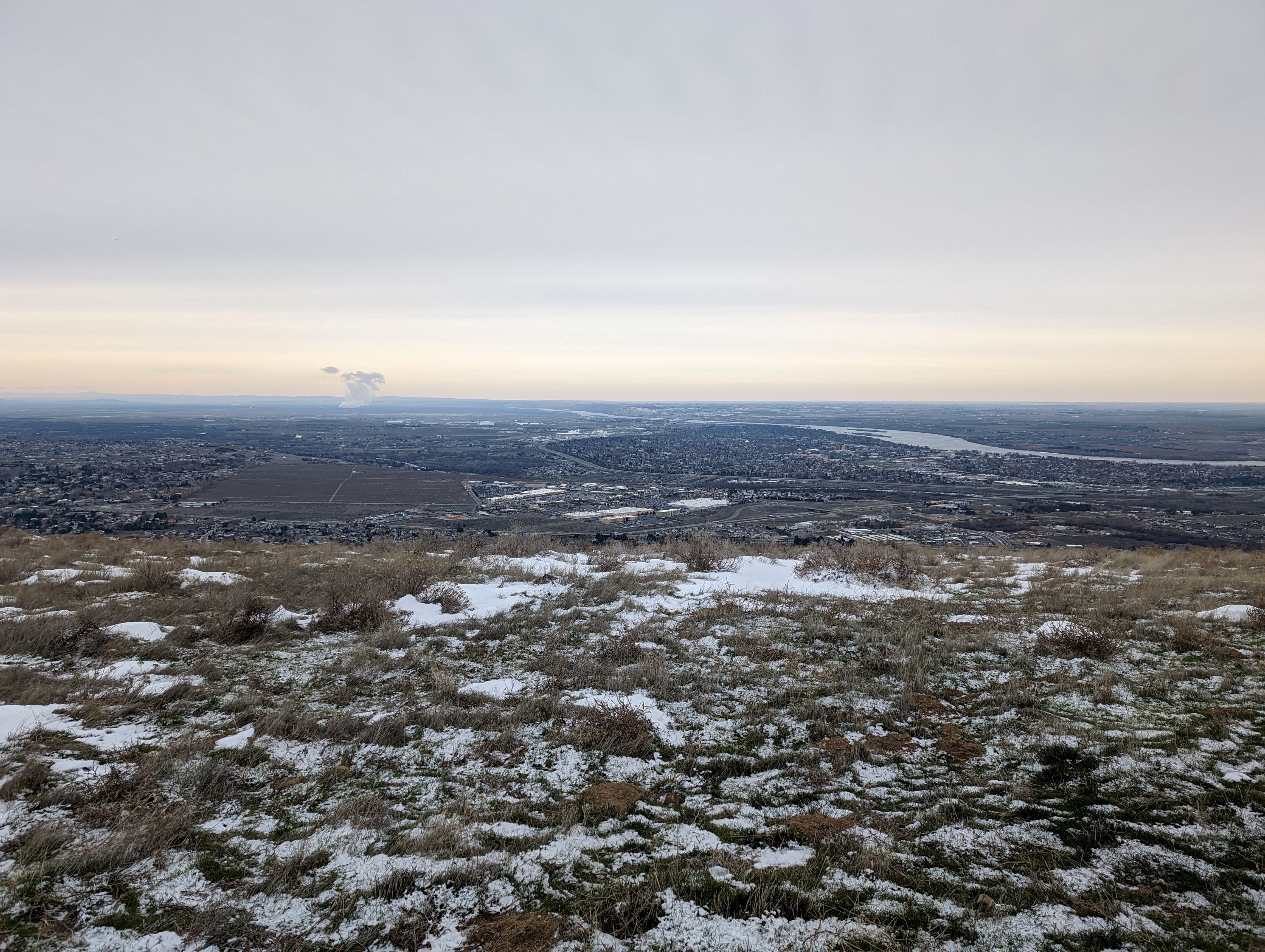
A little bit of snow making an appearance on Badger Mountain. Photo by Ups and Downs.
This mountain just outside of Richland is a nice place for locals and visitors to recreate. Views extend in every direction and include mountains, fields, and cityscapes. In the winter, the trails around Badger give you the feeling of surreal tundra, only 30 minutes from home.
> Plan your trip on the Badger Mountain - Canyon Trail using WTA's Hiking Guide
Mount Spokane State Park - Summit Route
Location: Eastern Washington -- Spokane Area/Coeur d'Alene
Mileage: 4.0 miles, roundtrip
Elevation gain: 1,328 feet
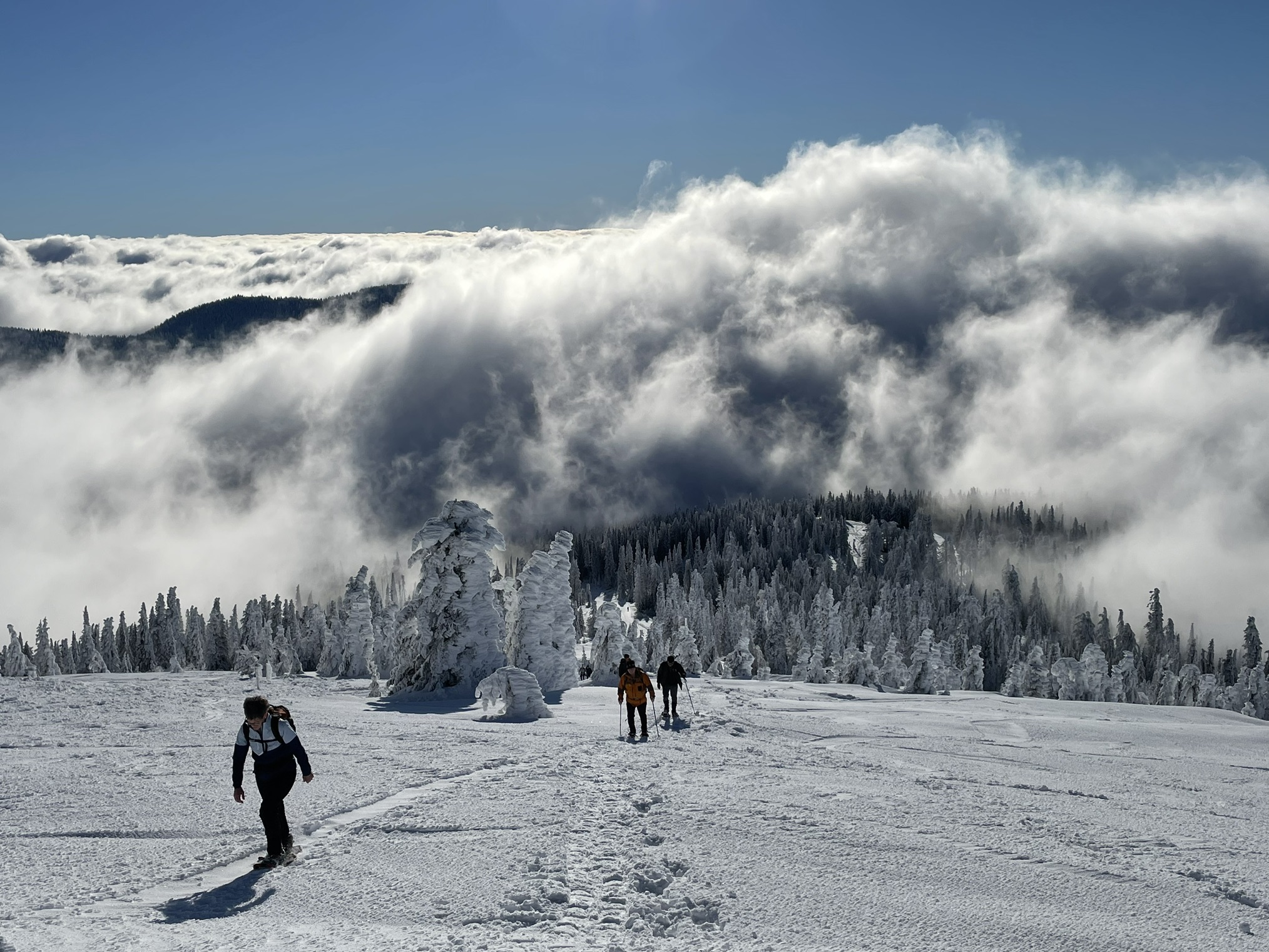
Hikers make their way up the summit route on Mount Spokane. Photo by Holly Weiler.
Spokane State Park is popular all year long, but this winter-only route from Bald Knob Campground looks extra lovely with a heaping of powder. Once on the summit, snowshoers are welcome to hike to the access point near the top of chair one, crossing at the gate, in order to visit the 1934 Vista House. The ski area operates a winter-only weekend concession stand inside, so get a cup of hot cocoa & relax by the fireplace before retracing one's steps or opting for more exploring on the park's extensive trail system.
> Plan your trip on the Mount Spokane State Park - Summit Route using WTA's Hiking Guide


