Trip Report
Panjab Trail, Wenaha River Trail, Turkey Creek, Third Creek, Mount Misery & Smooth Ridge — Friday, Jun. 21, 2013
 Eastern Washington > Palouse and Blue Mountains

This loop trip highlights a wide range of landscapes within the Wenaha-Tucannon Wilderness.
I entered via the Panjab TH on Friday afternoon and hiked in as a light rain became a steady downpour. In fact, I was originally going to hike farther along the Mount Misery trail (all the way to Diamond Peak), but by the time I arrived at Indian Corral I was soaked and ready to stop for the day. Since my dinner spot turned into my camp stop, I opted to shorten the loop rather than make up the missing mileage on Saturday. This section was 5.6 miles. Lucky for me, the rain stopped just before dusk and I was able to catch a little sunshine before it was time for bed.
In order to shorten the loop, I headed downhill directly out of Indian Corral via the Third Creek trail (but not before catching a glimpse of an elk herd). The Third Creek trail immediately plunges into dense forest. The map indicates that it receives yearly maintenance, but it has not yet been cleared yet this year. It drops approximately 2000' over 12.3 miles, then intersects the Diamond Peak trail and descends along Crooked Creek for another 5.3 miles before reaching the Wenaha River trail.
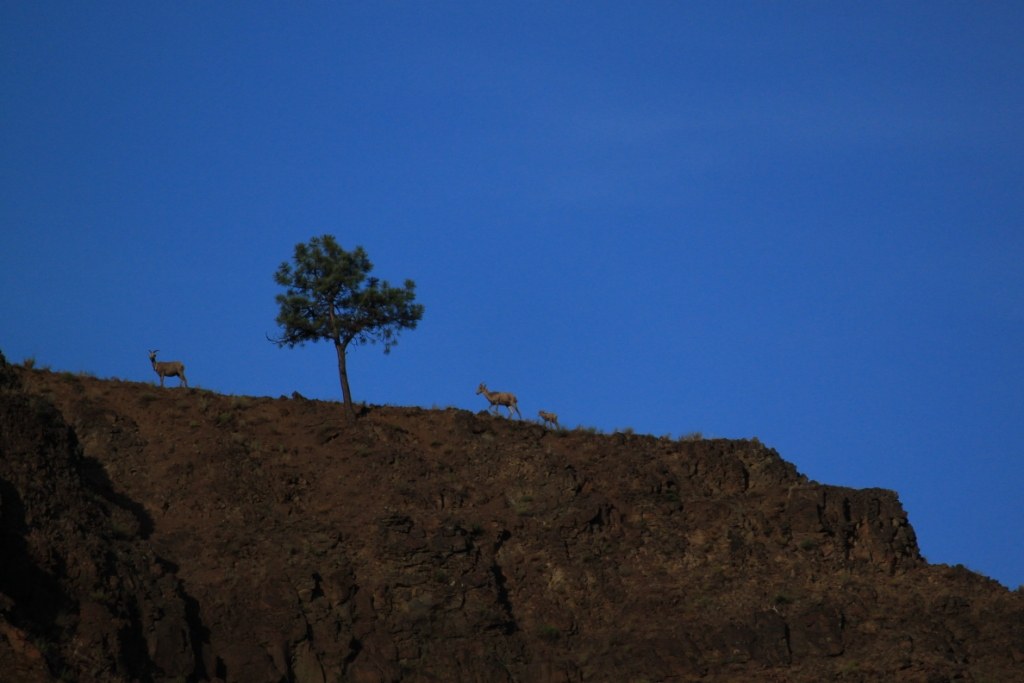
I was ready to camp at that point, but finding a campsite along this route is tricky. Not that they don't exist--there are plenty of them. However, Leave-No-Trace camping practices seem to be the exception rather than the rule here. The likeliest-looking campsite I found had a bear in the middle of it. It was a good bear and ran away, but I decided not to stick around and risk camping near whatever attracted the bear in the first place (nearly all campsites had garbage left behind, unfortunately). Instead, I continued along the Wenaha River trail approximately 2 miles to the intersection with the Hoodoo trail where I was able to find a relatively clean camp with water access, and a great view of the bighorn sheep on the hillside above camp.
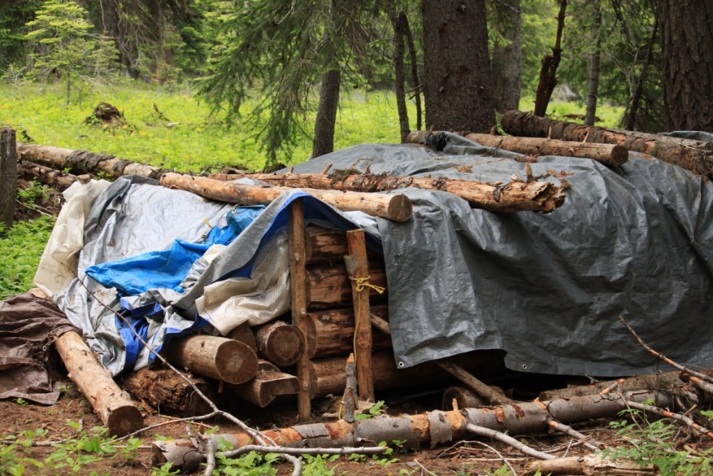
On Sunday I continued about another mile down the Wenaha River trail until it intersected the Weller Butte trail (where I climbed, and climbed, and climbed). Seriously, I should have allowed for an extra day on this section of trail. The Weller Butte/Smooth Ridge trail is arguably the most scenic trail in the Wenaha-Tucannon. It includes a little of everything as it climbs from approx. 2500' elevation at the river to 6387' at Oregon Butte over the course of 16.7 gorgeous miles. First I was astonished by the view looking down at the river. Then I was astonished at the size of the Ponderosa pine trees. Then I was astonished at the massive juniper trees. Next it was beautiful wildflower meadows and rocky outcroppings. Truly, this trail is fantastic, but again, unethical trail users have left an ugly mark on the landscape at the (frankly, illegal) campsites along the route. There are limited water sources, so those who wish to camp have little choice but to stay in the vicinity of these camps. [The worst: Donkey Camp near Lodgepole Spring--including an illegal structure w/in the Wilderness; I will be contacting the forest service regarding this site.]
Utterly exhausted by the climb, I reached Oregon Butte just slightly before the torrential downpour. Fortunately, I had enough time to take pictures of a practically-tame snowshoe hare who was willing to pose for me. Unfortunately, the rain drowned my hopes of getting some pics of the full moon from the lookout.
On Monday morning the rain cleared just long enough to allow me to get breakfast and take down the tent. Then I walked out on the Mount Misery trail to the TH, then headed down the Turkey Creek trail to return to the car (7.7 miles). Grand total: just shy of 50 miles for the loop.


Comments