Fire Lookout Hikes
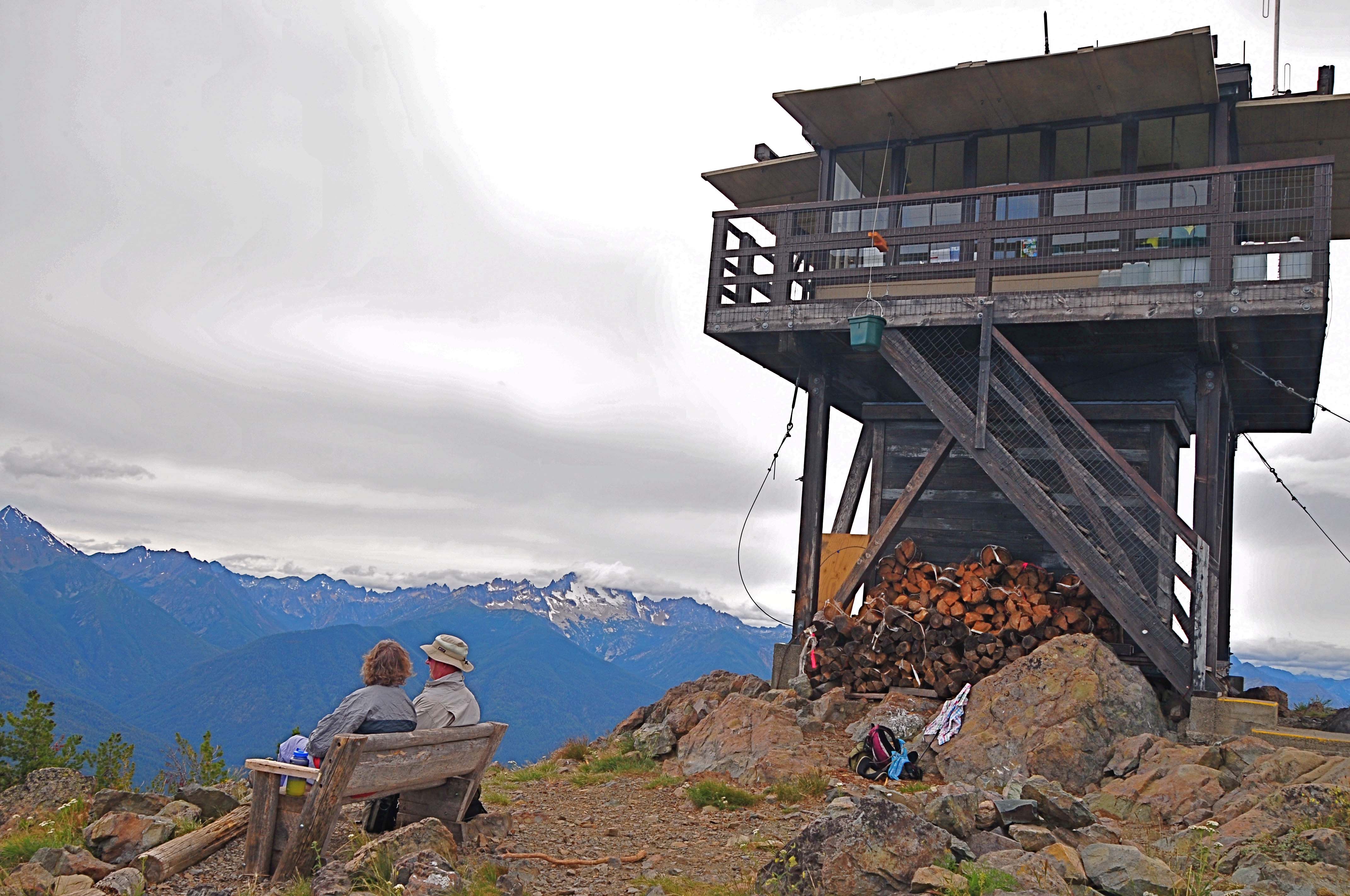
Roughly 100 (92 as of 2022) fire lookouts still perch on the lofty heights of Washington's mountaintops, and many remain in service during the summer months. Many are lovingly tended by volunteers and are still open to the public, while others have fallen into disuse.
They're high and oftentimes remote, but these treks up to fire lookouts on prominent peaks offer hikers panoramic views.
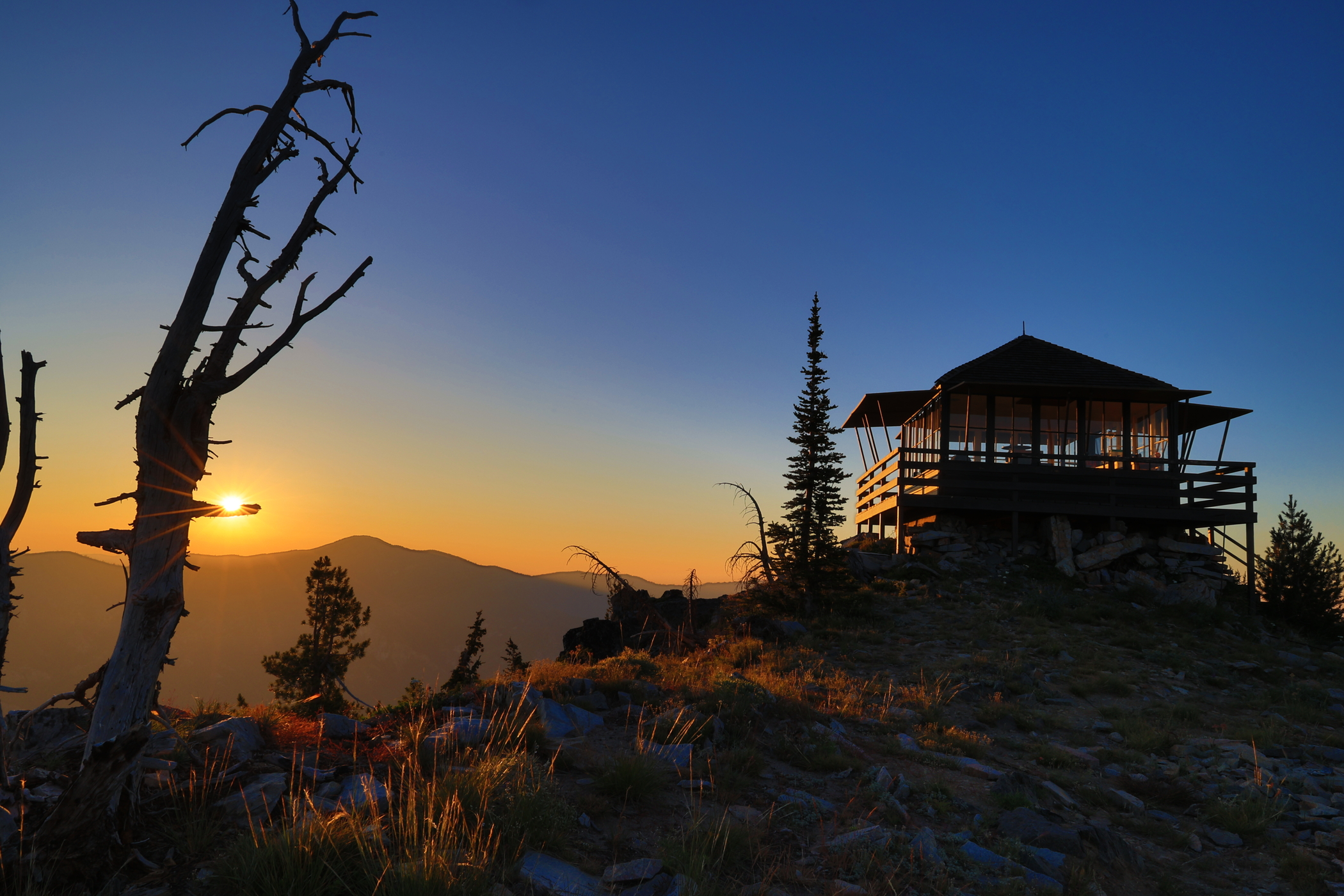 Sunrise at Tyee Lookout. Photo by Mark Hastings
Tips for taking on a lookout
- Expect to find snow at the higher elevations into July. Most should be accessible by August and September, but always check conditions first. See our ranger station links here.
- If a lookout is shuttered or locked, leave it that way. Some lookouts have been removed after being badly damaged or vandalized.
- Lookouts are often situated on high, small ridges or outcroppings. If the hopping, treat it like you would any other popular summit on a summer's day, and don't monopolize the view for too long.
- Hiking towards a lookout (or the top of any peak) is not where you want to find yourself during a thunderstorm. Refresh your lightning safety tips.
- Here's everything you need to know about spending the night in a fire lookout.
- Find more in our Hiking Guide by typing "lookout" in the keyword search.
North Cascades
Goat Peak
Location: North Cascades
Mileage: 5 miles, roundtrip
Elevation Gain: 1,400 feet
Highest Point: 7,001 feet
Goat Peak Lookout by Bob Griffith
Perched just north of Mazama, this lookout delivers incredible panorama of the North Cascades. It starts at a scenic 5,600 feet, and climbs a steep, short way along a ridge of rock and wildflower meadows. Halfway to the top, the way gives way to larch forest, giving the approach all the more spectacular in fall. If your family is up for the steep climb, it makes a great spot to take in area.
Plus, it holds a special place in Washington's lookout history: up until 2014 the lookout was staffed full-time for 19 years during fire season by Bill Austin, or “Lightning Bill.”
> Plan a hike to Goat Peak using WTA's Hiking Guide
Desolation PEAK
Location: North Cascades
Length: 9.4 miles, roundtrip (from the Desolation boat dock, 46 miles, roundtrip from the East Bank trailhead)
Elevation Gain: 4,400 feet
Highest Point: 6,102 feet
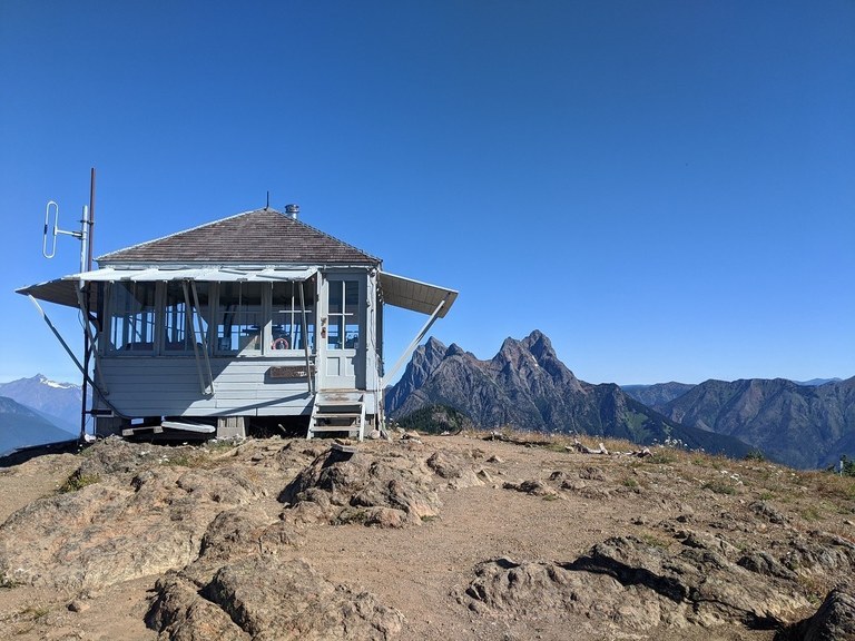
The signature lookout. Photo from WTA archives
For being so difficult to access, this might be the most famous (and literary) lookout in Washington. Jack Kerouac stayed here as a lookout and used the experience to inspire Desolation Angels and Dharma Bums. The historic lookout is no longer accessible to the public, but you can still trek to the location and appreciate the view.
> Plan a hike to Desolation Lookout using WTA's Hiking Guide
Central Cascades
Thorp Mountain
Location: Snoqualmie Region - Salmon La Sac
Length: 7.4 miles, roundtrip
Elevation Gain: 2,484 feet
Highest Point: 5,884 feet
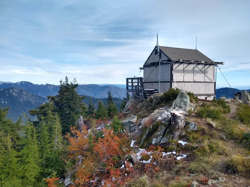
This lookout offers spectacular views of Mount Daniel, Mount Stuart, and even Mount Rainier out on a clear day. The whole panorama is arresting, and worth a long lunch to take in. But in classic lookout style, you will have to work to earn these views. There are four approaches to the lookout, but if you take the Thorp Creek trail, you can work a visit or overnight to tiny Thorp Lake, which might allow you to get an earlier start and cut off a few miles. Also note: there is not much parking at this trailhead, so go prepared with a backup plan if things are looking crowded.
> Plan a hike to Thorp Mountain Lookout using WTA's Hiking Guide
Alpine Lookout
Location: Stevens Pass - East
Length: 10 miles, roundtrip
Elevation Gain: 2600 feet
Highest Point: 6237 feet
 Photo of Alpine Lookout in early July by trip reporter, Glenn 99
You can actually hike to this lookout from two different directions. From FR 6910 and the Round Mountain trail, described in our Hiking Guide, the hike to the top is shorter, but marred by the interference of motorcycles. Or hike via Merritt Lake, which is longer but provides a nice overnight opportunity at the lake. From the top are views of Lake Wenatchee, Glacier Peak and the Alpine Lakes Wilderness. If you're lucky, you might see mountain goats and ripe huckleberries.
Plan a hike to Alpine Lookout using WTA's Hiking Guide
Red Top Lookout
Location: Cle Elum area - Teanaway
Length: 2 miles, roundtrip
Elevation Gain: 350 feet
Highest Point: 5364 feet
There are few mountaintops in Washington that are accessible by such a short and easy trail. This popular hike is featured in Best Hikes with Young Children, and is an excellent choice for other hikers too. Kids in particular will delight in actually climbing a mountain and will be encouraged along the way by the fire lookout perched on top. There are steep spots here, so you will probably need to hold the hand of younger kids in spots.
> Plan a hike to Red Top Lookout using WTA's Hiking Guide
Tyee Lookout
Location: Entiat Mountains / Lake Chelan
Length: 8.5 miles, roundtrip
Elevation Gain: 2,160 feet
Highest Point: 6,640 feet
 August view of Tyee Lookout by trip reporter LpK 10
Tyee Lookout is one of the few lookouts that you can drive to (Steiliko, below, is another), which makes it more accessible for folks who might not have a long, steep hike in them. The last 4 miles of the road to the top is extremely rough, so if you don't have a vehicle that can handle it, visitors can make that section a short hike with fabulous views.
> Plan a hike to Tyee Lookout using WTA's Hiking Guide
Steliko Lookout
Location: Entiat Mountains / Lake Chelan
Length: 3.4 miles, roundtrip
Elevation Gain:1,500 feet
Highest Point: 2,586 feet
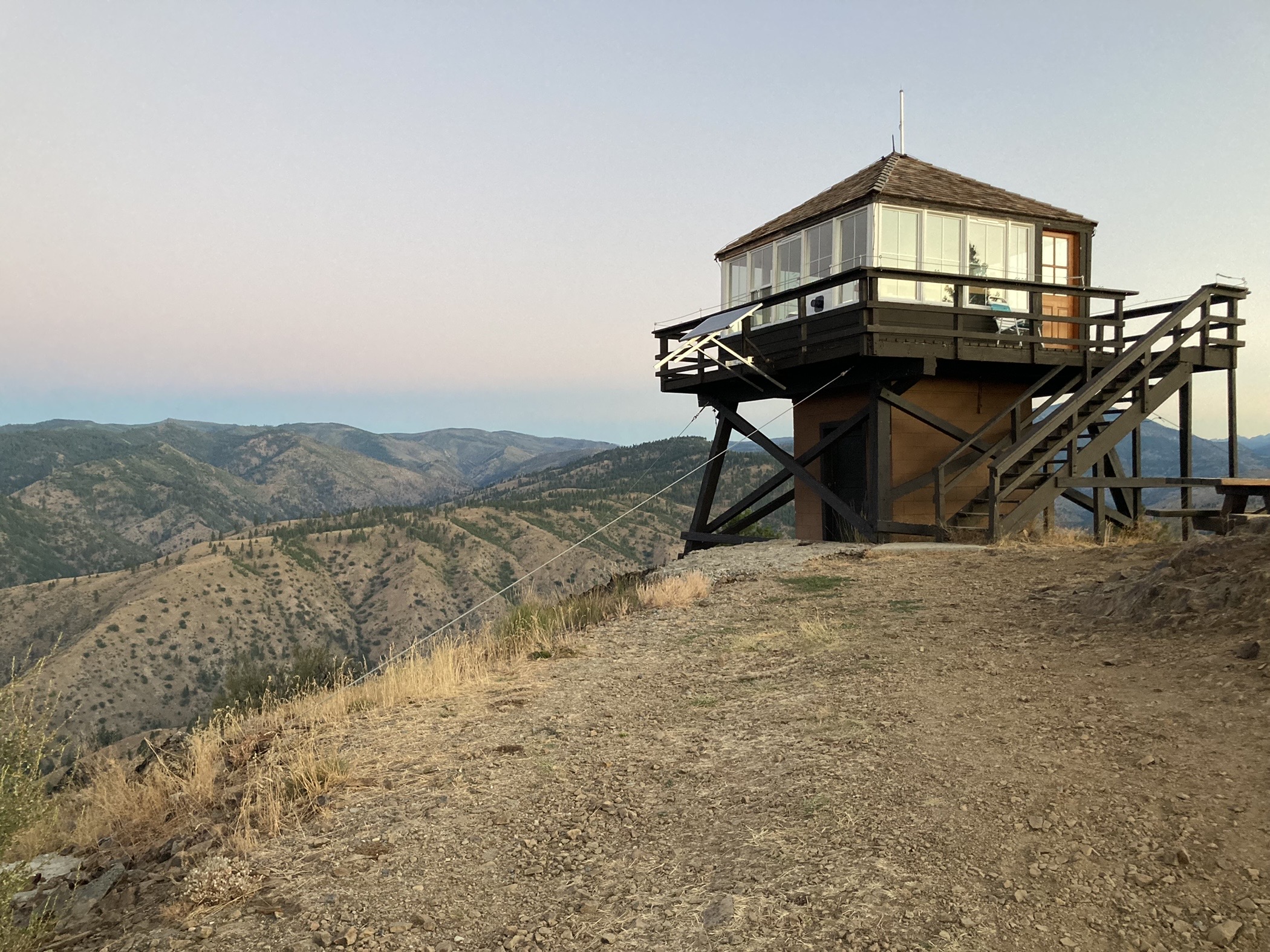 Steliko Lookout by trip reporter HoppieFroggie
Most Washington lookouts aren't accessible year-round, but Steliko may be hiked year-round or may be driven to the summit as road conditions and your vehicles capability dictate. With a relatively low elevation of just over 2500 feet and a short access road of under 2 miles from plowed pavement, this lookout is truly accessible to many regardless of the time of year.
Plan a hike to Steliko Lookout using WTA's Hiking Guide
Mount Rainier & South Cascades
Fremont Lookout
Location: Mount Rainier National Park
Length: 5.6 miles, roundtrip
Elevation Gain: 800 feet
Highest Point: 7200 feet
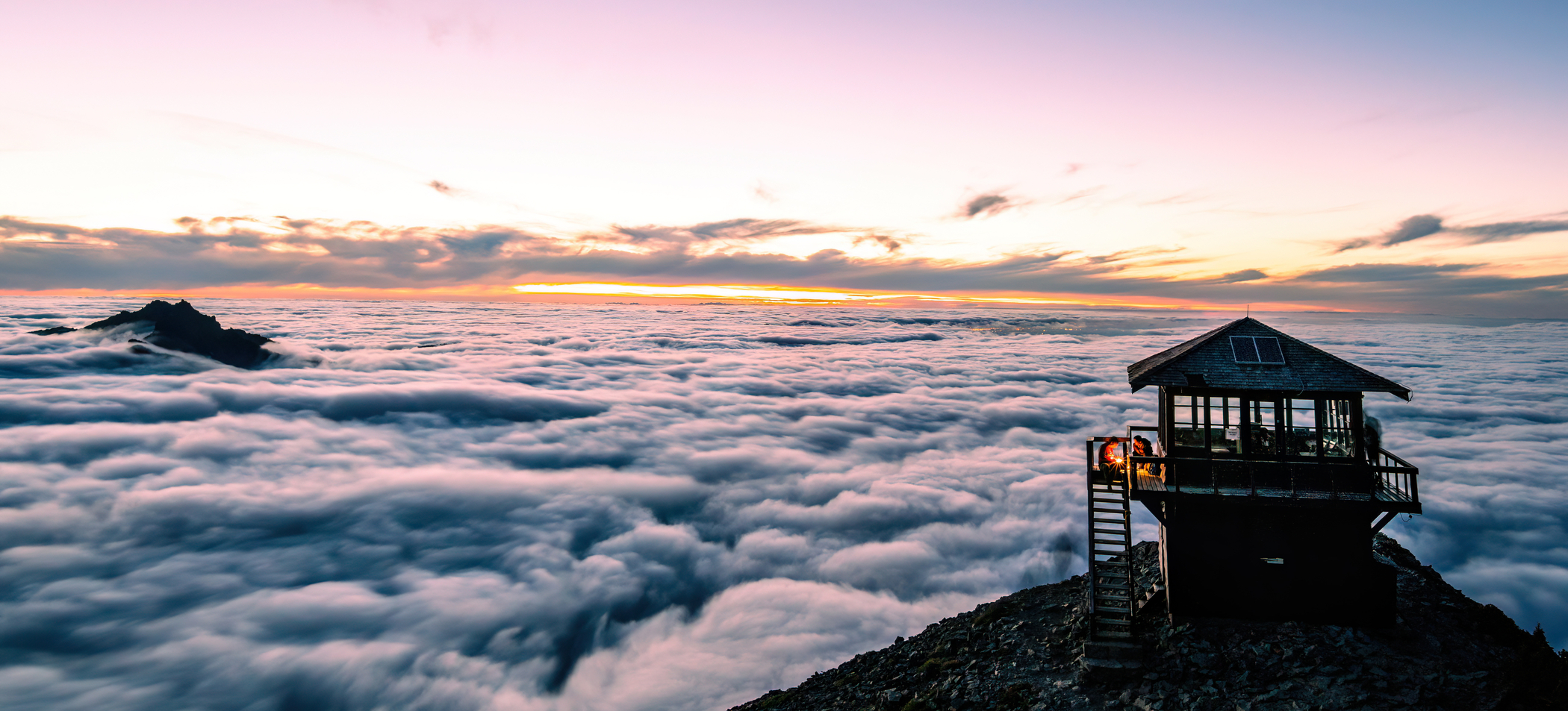 Getting above the clouds at Fremont Lookout. Photo by Kevin Rabuck
It's amazing how many fine lookout towers are accessible with so little effort. Fremont Lookout is one of those -- with only 800 feet of elevation gain. By starting at Sunrise in Mount Rainier National Park, you let your car do most of the uphill work. With amazing views in every direction, this is the perfect destination for a crystal clear day. From Mount Rainier to Mount Baker, you can't go wrong on this hike.
> Plan a hike to Fremont Lookout using WTA's Hiking Guide
SUNTOP LOOKOUT
Location: Chinook Pass Hwy 410
Length: 2 miles, roundtrip
Elevation Gain: 473 feet
Highest Point: 5,238 feet

Overlooking the White River Valley and with stunning views of Mount Rainier, the Suntop Fire Lookout is one of four staffed lookouts in the Mt. Baker-Snoqualmie National Forest. It is a great destination all on it's own, or short enough to merit a visit post-Rainier. WTA has also been part of the partnership to help build wheelchair-friendly access to this lookout.
> Plan a hike to Suntop Lookout using WTA's Hiking Guide
Sunrise Peak
Location: South Cascades - Dark Divide
Length: 3.0 miles, roundtrip
Elevation Gain: 1400 feet
Visit Sunrise Peak at the right time, and you'll see why it got its name. The site of a former fire lookout, the trail is steep but short. Along the way, you'll have views of Mount Adams and Mount Rainier, and from the summit, you can enjoy a 360-degree panorama of the incredible geology in the Dark Divide. If you pick your season right, you can graze berries along the way.
> Plan a hike to Sunrise Peak using WTA's Hiking Guide
Eastern Washington
Oregon Butte
Location: Eastern Washington - Blue Mountains
Length: 3 miles, roundtrip
Elevation Gain: 987 feet
Highest Point: 6387 feet

Hike to one of the highest spots in all of Southeast Washington and spin around up top for a fabulous 360 degree view of the Wenaha-Tucannon Wilderness. The best season to visit is late spring, when the hillside is green and carpeted in wildflowers. It's also a treat in the fall, but do note that it's a favorite area for hunting and the trailhead gets snowed in early. One highlight is the spring-fed log watering trough just below the butte.
> Plan a hike to Oregon Butte using WTA's Hiking Guide
Abercrombie Mountain
Location: Eastern Washington - Colville
Length: 7.3 miles, roundtrip
Elevation Gain: 2350 feet
Highest Point: 7308 feet

The lookout may no longer be standing, but from Eastern Washington’s second-highest peak, take in hundreds of square miles of rolling forested terrain, from the Canadian Purcells to the Columbia Plateau. This moderately strenuous, 7.3-mile hike rewards fit hikers with horizon-spanning views—the Cascades, British Columbia’s Rossland Range and Idaho’s Selkirks
Read more in our Hiking Guide.
Olympic Peninsula
Kloshe Nanitch
Location: Northern Coast
Length: 6.4 miles, roundtrip
Elevation Gain: 2,200 feet
Highest Point: 3,160 feet
 The deck from the former lookout. Photo by trip reporter Kassy
Once the site of a historic lookout, the platform on this craggy ridgetop delivers views of Lake Crescent, Mount Olympus and the Sol Duc River Valley. You might even get a view beyond the peaks to the Pacific. It's also one of the lookout locations that can be visited in most seasons. (Before you hike it, you can check out older winter and summer trip reports for a sense of what the structure used to look like, before it was dismantled in 2012.)
> Plan a hike to Kloshe Nanitch using WTA's Hiking Guide
Dodger Point
Location: Olympic National Park
Length: 27 miles, roundtrip
Elevation Gain: 4,983 feet
Highest Point: 5,753 feet
 Taking in the sunset at the tough-to-reach Dodger Point Lookout. Photo by Ashley Hankins
This challenging backpack takes you onto some of the more primitive trails in Olympic National Park and requires a bit of trip planning (and a permit from Olympic National Park), but if have a few days to tackle it, it will take you a lookout with unparalleled views of Mount Olympus high and the Baily Range towering above deep forested valleys.


